Graymoor Hiker Campsite
Campground
Campground · 1.5 mi from the trail
Closure in the area
There's a closure order in Appalachian National Scenic Trail. It doesn't name Osborne Loop, so check the source for the area it covers.
List of trail closures post-Hurricane Helene
Park closure covering Appalachian National Scenic Trail · NPS · Appalachian National Scenic Trail
Black Bears Frequenting the McAfee Knob Area in Virginia
Park alert covering Appalachian National Scenic Trail · NPS · Appalachian National Scenic Trail
As of · Source: NPS · Appalachian National Scenic Trail. Agencies don't list every closure — check before you go.
Osborne Loop is a 3.6-mile hike on the Appalachian National Scenic Trail in New York, managed by the National Park Service. It is a point-to-point route with a total elevation gain of 727 feet, and it is rated easy. The trail starts at about 828 feet and reaches a high point of 893 feet before descending to a low of 455 feet. The steepest stretch comes at about 2.3 miles in, where the grade reaches 55 percent. The total loss of 936 feet makes it a descent-heavy route. For comfortable weather, aim for late spring or early fall. Typical averages from a nearby weather station at West Point put May highs around 72°F and September highs around 76°F, and the station sits well below the trail, so temperatures on the route run cooler. Nearby hikes include Carriage, Camp Smith Trail and White Rock, all within about 2 miles. Climbers can head to Blue Mountain Park, about 5 miles away.
Graymoor Hiker Campsite
Campground
 If it rainsDaniel Case, CC BY-SA 3.0 · Wikimedia Commons
American Revolutionary War fort near West Point on the Hudson River
Places © OpenStreetMap contributors · Photos: Daniel Case, CC BY-SA 3.0 (commons)
More in New WindsorNot on Roamze yet. Their page has how to reach them.
Best months: April–October. Best months have typical highs of 55–85 °F, lows of 30 °F or warmer (32 °F where the station doesn't record snow), at most one snowy day and no more than 12 wet days.
Jan
36° / 21°
10 wet · 3 snow
Feb
39° / 22°
8 wet · 3 snow
Mar
47° / 30°
10 wet · 2 snow
Apr
60° / 41°
10 wet
May
72° / 51°
12 wet
Jun
80° / 60°
11 wet
Jul
85° / 65°
10 wet
Aug
83° / 64°
9 wet
Sep
76° / 57°
8 wet
Oct
63° / 46°
10 wet
Nov
51° / 36°
9 wet
Dec
41° / 27°
10 wet · 2 snow
Typical high / low (°F) and days with rain or snow, 1991–2020. Measured at West Point, NY, 3.7 mi away at 320 ft. The station sits about 600 ft lower than this place, so expect it a little cooler here. Source: NOAA NCEI U.S. Climate Normals 1991–2020.
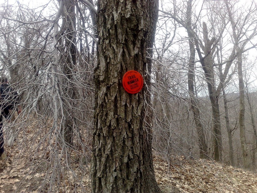 Photo: markguim, CC BY 2.0 (via Flickr)
Carriage
~2 min drive
0.90-mile point-to-point trail in New York with 134 ft gain.
 Photo: mlcastle, CC BY-SA 2.0 (via Flickr)
Camp Smith Trail
~3 min drive
3.40-mile point-to-point trail in New York with 1,193 ft elevation gain.
HIKE
Timp Torne Trail
~6 min drive
Scenic ridgeline point-to-point hike with Hudson Valley views.
 Photo: Raziel Janeway, CC BY-SA 3.0 (via Wikimedia Commons)
White Rock
~3 min drive
0.88-mile out-and-back trail in New York with 308 ft of elevation gain.
 Photo: mlcastle, CC BY-SA 2.0 (via Flickr)
Sugarloaf Trail
~3 min drive
1.47-mile point-to-point trail in New York with 722 ft elevation gain.
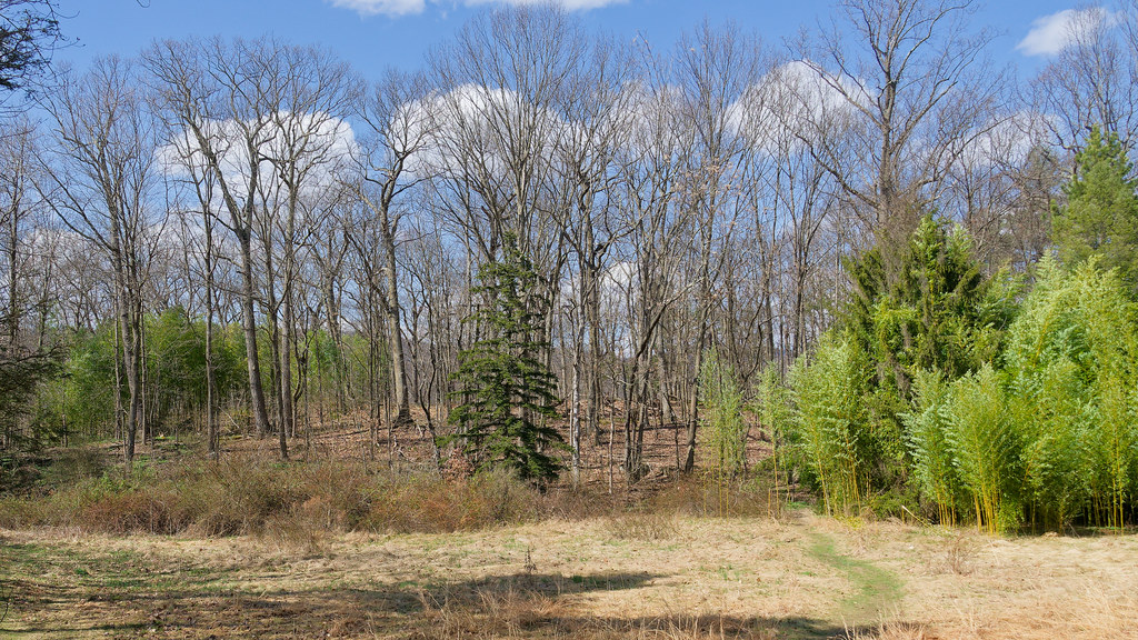 Photo: mlcastle, CC BY-SA 2.0 (via Flickr)
Castle Rock Trail
~4 min drive
0.57-mile point-to-point trail in New York with 117 ft gain
 Photo: William J Sisti from Morristown, NJ, USA, CC BY-SA 2.0 (via Wikimedia Commons)
1777 West Trail
~4 min drive
2.30-mile out-and-back hike in New York with 1,033 ft elevation gain.
 Photo: mlcastle — CC BY-SA 2.0 (via Flickr)
Glenclyffe Loop
~4 min drive
1.43-mile point-to-point trail in New York with 514 ft gain
 Photo: Schezar, CC BY 2.0 (via Flickr)
Cornell Mine Trail
~5 min drive
2.43-mile point-to-point trail in New York with 1,321 ft of descent.
Photo: William J Sisti from Morristown, NJ, USA, CC BY-SA 2.0 (via Wikimedia Commons)Twin Forts
~4 min drive
0.52-mile out-and-back trail with 319 ft gain in New York.
Map and trail data © OpenStreetMap contributors

