Graymoor Hiker Campsite
Campground
Campground · 1.7 mi from the trail
 Photo: mlcastle, CC BY-SA 2.0 (via Flickr)
Sugarloaf Trail is a 1.5-mile moderate hike in New York's Castle Rock Unique Area, managed by the State Department of Conservation. The route rises from a starting point at about 440 feet to a high of 778 feet, with a total elevation gain of 374 feet. It is a point-to-point trail, and the climb is steeper on the way up than on the way down, which drops about 719 feet. Late spring and early fall are the most comfortable times to go. Typical averages from a nearby weather station at West Point put May highs around 72°F and September highs around 76°F, with July the warmest month at about 85°F. That station sits roughly 450 feet lower than the trail's high point, so temperatures on the summit run cooler. The hike takes about half an hour. Castle Rock Trail lies just 0.3 miles away, and White Rock and Glenclyffe Loop are each about 0.7 miles off. For climbing, Storm King Mountain is about 5 miles away.
Graymoor Hiker Campsite
Campground
 If it rainsThe original uploader was Daniel Case at English Wikipedia ., CC BY-SA 3.0 · Wikimedia Commons
Sands Ring Homestead Museum
Museum
Places © OpenStreetMap contributors · Photos: The original uploader was Daniel Case at English Wikipedia ., CC BY-SA 3.0 (commons)
More in New WindsorNot on Roamze yet. Their page has how to reach them.
Best months: April–October. Best months have typical highs of 55–85 °F, lows of 30 °F or warmer (32 °F where the station doesn't record snow), at most one snowy day and no more than 12 wet days.
Jan
36° / 21°
10 wet · 3 snow
Feb
39° / 22°
8 wet · 3 snow
Mar
47° / 30°
10 wet · 2 snow
Apr
60° / 41°
10 wet
May
72° / 51°
12 wet
Jun
80° / 60°
11 wet
Jul
85° / 65°
10 wet
Aug
83° / 64°
9 wet
Sep
76° / 57°
8 wet
Oct
63° / 46°
10 wet
Nov
51° / 36°
9 wet
Dec
41° / 27°
10 wet · 2 snow
Typical high / low (°F) and days with rain or snow, 1991–2020. Measured at West Point, NY, 2 mi away at 320 ft. Source: NOAA NCEI U.S. Climate Normals 1991–2020.
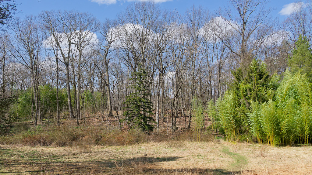 Photo: mlcastle, CC BY-SA 2.0 (via Flickr)
Castle Rock Trail
Next door
0.57-mile point-to-point trail in New York with 117 ft gain
 Photo: mlcastle, CC BY-SA 2.0 (via Flickr)
Camp Smith Trail
~5 min drive
3.40-mile point-to-point trail in New York with 1,193 ft elevation gain.
HIKE
Timp Torne Trail
~8 min drive
Scenic ridgeline point-to-point hike with Hudson Valley views.
 Photo: Raziel Janeway, CC BY-SA 3.0 (via Wikimedia Commons)
White Rock
~1 min drive
0.88-mile out-and-back trail in New York with 308 ft of elevation gain.
 Photo: William J Sisti from Morristown, NJ, USA, CC BY-SA 2.0 (via Wikimedia Commons)
1777 West Trail
~6 min drive
2.30-mile out-and-back hike in New York with 1,033 ft elevation gain.
 Photo: mlcastle — CC BY-SA 2.0 (via Flickr)
Glenclyffe Loop
~1 min drive
1.43-mile point-to-point trail in New York with 514 ft gain
 Photo: Schezar, CC BY 2.0 (via Flickr)
Cornell Mine Trail
~8 min drive
2.43-mile point-to-point trail in New York with 1,321 ft of descent.
 Photo: mlcastle, CC BY-SA 2.0 (via Flickr)
Arden Point Trail
~1 min drive
Short point-to-point Hudson River area trail in New York.
 Photo: johnaac, CC BY 3.0 (via Wikimedia Commons)
White-Green trail (guess)
~8 min drive
6.12-mile out-and-back trail in New York with 1,666 ft elevation gain
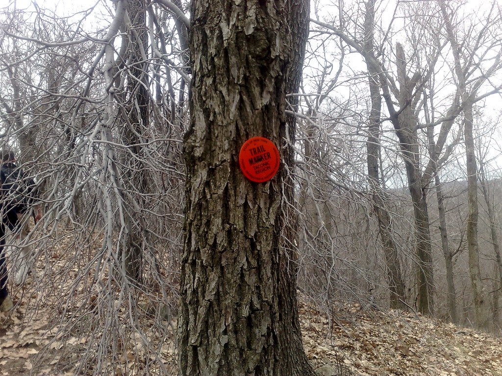 Photo: markguim, CC BY 2.0 (via Flickr)
Carriage
~2 min drive
0.90-mile point-to-point trail in New York with 134 ft gain.
About 1.5 mi.
About 374 ft of climbing round trip.
It is rated moderate.
About 1 hour round trip.
Daily highs and lows, wind and the chance of precipitation at the summit and route start for the next 7 days, from the Open-Meteo model.
Map and trail data © OpenStreetMap contributors

