Jellystone Park at Birchwood Acres
Campground
Campground · 8.0 mi from the trail
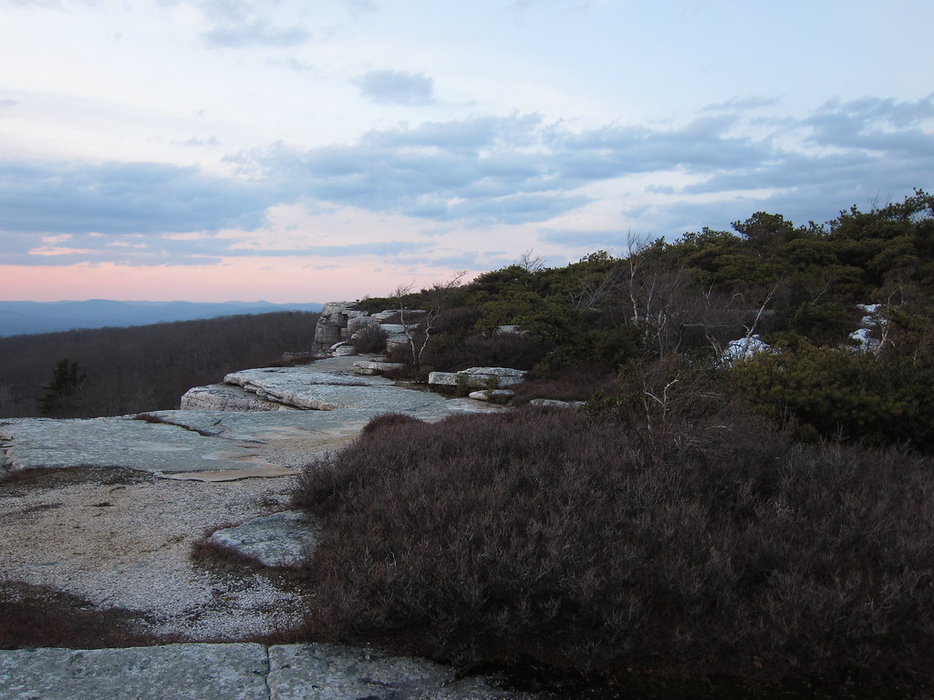
 Photo: The original uploader was Daniel Case at English Wikipedia., CC BY-SA 3.0 (via Wikimedia Commons)
Clear today
Weather is good · OpenWeather · checked just now
The O&W shared-use greenway trail is a developing route in New York, about 1.5 miles from the town of Cragsmoor. It is an out-and-back hike of roughly 4.7 miles, with a total elevation gain of about 1,168 feet. The trail starts at an elevation of about 391 feet and reaches a high point of about 517 feet, with the steepest stretch coming within the first quarter mile at a grade of about 9 percent. The most comfortable months for a visit are typically late spring and early fall. Typical averages from a nearby weather station run from highs around 71°F in May to about 74°F in September, with July the warmest at about 84°F. The trip takes about two hours. Sandburg Creek, a canoeing spot, lies about 2.1 miles away, and the Ice Cave hike is about 2.9 miles off. The Red Trail and High Point Carriageway are both within about 3 miles.
Jellystone Park at Birchwood Acres
Campground
 If it rainsThe original uploader was Daniel Case at English Wikipedia ., CC BY-SA 3.0 · Wikimedia Commons
Places © OpenStreetMap contributors, Places © Overture Maps Foundation · Photos: The original uploader was Daniel Case at English Wikipedia ., CC BY-SA 3.0 (commons)
More in New WindsorNot on Roamze yet. Their page has how to reach them.
 Ice CaveHikingPhoto: daveclausen, CC BY 2.0 (via Flickr)2.9 miRed TrailHikingPhoto: The original uploader was Daniel Case at English Wikipedia., CC BY-SA 3.0 (via Wikimedia Commons)3 mi
Source: Roamze catalog (indexable pages within 10 miles, PostGIS distance)
Ice CaveHiking · ~5 min drivePhoto: daveclausen, CC BY 2.0 (via Flickr) Gertrude's Nose TrailHiking · ~14 min drivePhoto: Tainanian, CC BY 2.0 (via Flickr)
 Millbrook Mountain TrailHiking · ~16 min drivePhoto: Tainanian, CC BY 2.0 (via Flickr)Red TrailHiking · ~5 min drivePhoto: The original uploader was Daniel Case at English Wikipedia., CC BY-SA 3.0 (via Wikimedia Commons)
 Millbrook Ridge TrailHiking · ~19 min drivePhoto: sarahebourne, CC BY 2.0 (via Flickr)
 High Peter's Kill TrailHiking · ~18 min drivePhoto: Tom Marvel, CC BY 2.0 (via Wikimedia Commons)
 Trail to Stony Kill FallsHiking · ~10 min drivePhoto: ceonyc, CC BY-SA 2.0 (via Flickr)Old Minnewaska TrailHiking · ~20 min drivePhoto: sarahebourne, CC BY 2.0 (via Flickr)
 Wallkill Valley Rail Trail - HikingHiking · ~22 min drivePhoto: MAXahf, CC BY-SA 3.0 (via Wikimedia Commons)Lake Awosting CarriagewayHiking · ~11 min drivePhoto: ceonyc, CC BY-SA 2.0 (via Flickr)
Best months: April and October. Best months have typical highs of 55–85 °F, lows of 30 °F or warmer (32 °F where the station doesn't record snow), at most one snowy day and no more than 12 wet days.
Jan
35° / 17°
11 wet
Feb
38° / 18°
10 wet
Mar
47° / 27°
11 wet
Apr
60° / 36°
12 wet
May
71° / 47°
14 wet
Jun
79° / 56°
13 wet
Jul
84° / 61°
13 wet
Aug
82° / 59°
14 wet
Sep
74° / 51°
13 wet
Oct
62° / 40°
12 wet
Nov
50° / 31°
10 wet
Dec
39° / 23°
11 wet
Typical high / low (°F) and days with rain or snow, 1991–2020. Measured at Montgomery Orange Ap, NY, 14.4 mi away at 365 ft. This station doesn't record snowfall. Source: NOAA NCEI U.S. Climate Normals 1991–2020.
Map and trail data © OpenStreetMap contributors

