Kerhonkson NY Troop 22, B
Campground
Campground · 6.9 mi from the trail
High Point Carriageway is a 2.9-mile point-to-point hike in Minnewaska State Park Preserve in New York, managed by State Park and Recreation. The route gains about 280 feet and is rated easy, with the steepest stretch at about 24% grade near mile 1.7. The climb is front-loaded, with the route starting at around 2,132 feet and reaching 2,283 feet at the high point before descending slightly. Bikes are allowed, so it works for riders as well as hikers. Late spring and early fall are the most comfortable times to go. Typical averages from the Mohonk Lake weather station, about 10 miles away, show May highs near 71°F and September highs near 73°F, while July averages climb to about 83°F. Nearby, Smiley Campground sits about 4 miles away, and the Shawangunk Ridge Trail is 1.8 miles off. Sandburg Creek, a paddling spot, is 5.3 miles away, and the Khadejha Area climbing is 6.9 miles away.
Kerhonkson NY Troop 22, B
Campground
 If it rainsThe original uploader was Daniel Case at English Wikipedia ., CC BY-SA 3.0 · Wikimedia Commons
Places © OpenStreetMap contributors · Photos: The original uploader was Daniel Case at English Wikipedia ., CC BY-SA 3.0 (commons)
More in New WindsorNot on Roamze yet. Their page has how to reach them.
Best months: April and June–October. Best months have typical highs of 55–85 °F, lows of 30 °F or warmer (32 °F where the station doesn't record snow), at most one snowy day and no more than 12 wet days.
Jan
34° / 19°
11 wet · 7 snow
Feb
37° / 20°
9 wet · 6 snow
Mar
46° / 27°
11 wet · 4 snow
Apr
60° / 39°
11 wet · 1 snow
May
71° / 50°
13 wet
Jun
78° / 59°
12 wet
Jul
83° / 64°
12 wet
Aug
80° / 63°
11 wet
Sep
73° / 56°
10 wet
Oct
61° / 45°
11 wet
Nov
49° / 35°
10 wet · 2 snow
Dec
38° / 25°
11 wet · 5 snow
Typical high / low (°F) and days with rain or snow, 1991–2020. Measured at Mohonk Lake, NY, 10.7 mi away at 1,245 ft. The station sits about 1,000 ft lower than this place, so expect it a little cooler here. Source: NOAA NCEI U.S. Climate Normals 1991–2020.
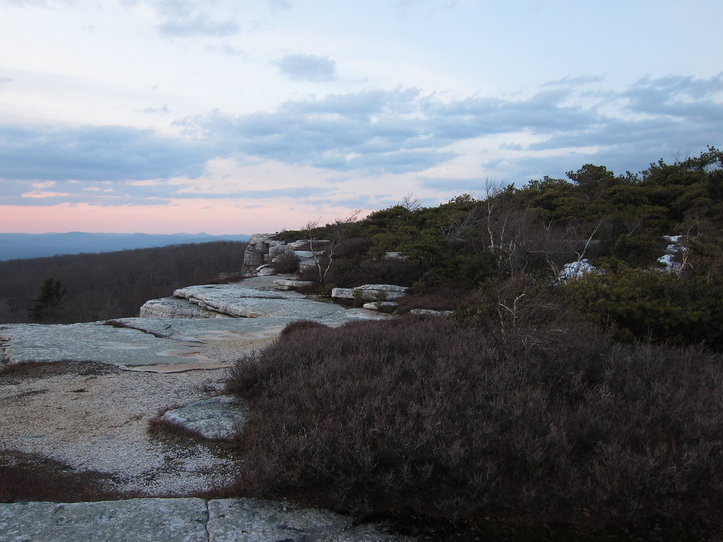 Photo: daveclausen, CC BY 2.0 (via Flickr)
Ice Cave
~4 min drive
0.80-mile point-to-point trail in New York with 370 ft elevation gain.
 Photo: The original uploader was Daniel Case at English Wikipedia., CC BY-SA 3.0 (via Wikimedia Commons)
O&W shared-use greenway trail (under development)
~5 min drive
4.74-mile out-and-back greenway in New York with 1,168 ft elevation gain
 Photo: Tainanian, CC BY 2.0 (via Flickr)
Gertrude's Nose Trail
~9 min drive
5.42-mile out-and-back trail in New York with 2,744 ft elevation gain.
 Photo: ceonyc, CC BY-SA 2.0 (via Flickr)
Trail to Stony Kill Falls
~5 min drive
0.55-mile point-to-point trail to Stony Kill Falls in New York.
 Photo: Tainanian, CC BY 2.0 (via Flickr)
Millbrook Mountain Trail
~10 min drive
2.14-mile out-and-back hike in New York with 847 ft gain/loss.
 Photo: sarahebourne, CC BY 2.0 (via Flickr)
Millbrook Ridge Trail
~14 min drive
5.74-mile out-and-back trail in New York with 2,948 ft elevation gain and loss.
Photo: ceonyc, CC BY-SA 2.0 (via Flickr)Lake Awosting Carriageway
~5 min drive
3.45-mile loop around Lake Awosting in New York.
 Photo: Tom Marvel, CC BY 2.0 (via Wikimedia Commons)
High Peter's Kill Trail
~12 min drive
5.96-mile out-and-back hike in New York with 1,998 ft elevation gain
Photo: sarahebourne, CC BY 2.0 (via Flickr)Old Minnewaska Trail
~14 min drive
3.78-mile out-and-back trail in New York with 1,467 ft elevation gain
Photo: ceonyc, CC BY-SA 2.0 (via Flickr)Lower Awosting Carriageway
~6 min drive
Historic 2.6-mile point-to-point carriage road through Hudson Valley woodland.
Map and trail data © OpenStreetMap contributors


