Mink Hollow Trail
- 4.9 mi
- one way
- 1,840 ft
- climb
- 2,728 ft
- high point
- Point to point
- route
- Sep–Oct
- best months
Mink Hollow Trail is a 4.9-mile hike in New York's Indian Head Wilderness, managed by the State Department of Conservation. It is a point-to-point route, and the one-way climb of 1,840 feet takes it from a high point of about 2,728 feet down to a low of around 1,497 feet. The trail starts near the top, so the descent is longer than the ascent. Summer and early fall are the most comfortable times to go. Typical averages from the nearby Platte Clove weather station, which sits roughly 700 feet lower, run from highs near 75°F in June to about 72°F in September. That station's July highs average 80°F, and its winter highs stay near or just below freezing. The trail is rated easy, but it carries a steep stretch of about 46% grade at roughly 2.3 miles. It is not wheelchair accessible, and both bikes and horses are not allowed. Several other outings lie within a few miles. Pecoy Notch Trail is about 1.4 miles away and Jimmy Dolan Notch Trail about 2.4 miles. Devil's Path, a mountain biking route, is roughly 2.9 miles off, and Kaaterskill High Peak Trail is about 3.8 miles away.
Local outfitters
- Catskill Outfitters9 mi away
Not on Roamze yet. Their page has how to reach them.
- Pecoy Notch TrailHiking1.4 mi
- Jimmy Dolan Notch TrailHiking2.4 mi
- Devil's PathMountain biking2.9 mi
- Kaaterskill High Peak TrailHiking3.8 mi
 Overlook TrailHikingPhoto: New York Public Library, No restrictions (via Wikimedia Commons)4 mi
 CatskillsRock climbingPhoto: John B. from Highland Park, NJ, United States, CC BY 2.0 (via Wikimedia Commons)6.4 mi
- Plattekill CreekCanoeing7.2 mi
- Phoenicia, Sportsman's WallRock climbing8.2 mi
Source: Roamze catalog (indexable pages within 10 miles, PostGIS distance)
- Devil's PathHiking · ~7 min drivePhoto: New York Public Library, No restrictions (via Wikimedia Commons)
- Overlook TrailHiking · ~7 min drivePhoto: New York Public Library, No restrictions (via Wikimedia Commons)
 Poet's Ledge TrailHiking · ~11 min drivePhoto: andyarthur, CC BY 2.0 (via Flickr)
 Twilight Park TrailHiking · ~8 min drivePhoto: Alexander Gude, CC BY-SA 3.0 (via Wikimedia Commons)
- Huckleberry Point TrailHiking · ~8 min drivePhoto: Alexander Gude, CC BY-SA 3.0 (via Wikimedia Commons)
 Escarpment TrailHiking · ~12 min drivePhoto: Andy Arthur, CC BY 2.0 (via Wikimedia Commons)
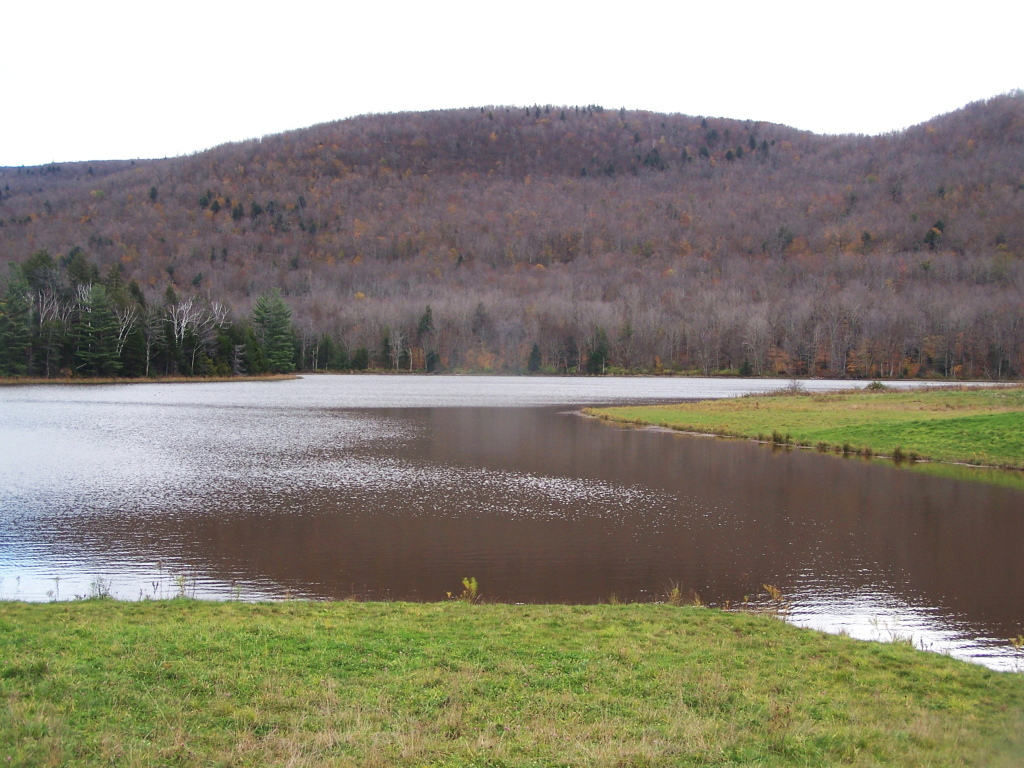 Colgate Lake TrailHiking · ~13 min drivePhoto: andyarthur, CC BY 2.0 (via Flickr)
 Overlook Spur TrailHiking · ~8 min drivePhoto: sashimomura, CC BY 2.0 (via Flickr)
 Winter Clove Falls trailHiking · ~16 min drivePhoto: Steve Shook from Moscow, Idaho, USA, CC BY 2.0 (via Wikimedia Commons)
- Kaaterskill High Peak TrailHiking · ~6 min drive
Also worth it near here
- Mink Hollow TrailMountain biking · Next door
 Sugarloaf MountainSummit · ~1 min drivePhoto: Kevin Kenny from Niskayuna, NY, Schenectady. Cropped and color-corrected by Daniel Case prior to upload, CC BY-SA 2.0 (via Wikimedia Commons)
- Devil's Tombstone CampgroundCamping · ~5 min drive
- Cooper LakeLake fishing · ~9 min drive
Best time to visit Mink Hollow Trail
Best months: September–October. Best months have typical highs of 55–85 °F, lows of 30 °F or warmer (32 °F where the station doesn't record snow), at most one snowy day and no more than 12 wet days.
Jan
32° / 12°
16 wet
Feb
35° / 13°
13 wet
Mar
42° / 20°
13 wet
Apr
55° / 31°
12 wet
May
67° / 42°
14 wet
Jun
75° / 51°
14 wet
Jul
80° / 55°
14 wet
Aug
79° / 54°
13 wet
Sep
72° / 48°
11 wet
Oct
59° / 37°
12 wet
Nov
47° / 28°
13 wet
Dec
37° / 19°
16 wet
Typical high / low (°F) and days with rain or snow, 1991–2020. Measured at Platte Clove, NY, 3.6 mi away at 2,032 ft. The station sits about 700 ft lower than this place, so expect it a little cooler here. This station doesn't record snowfall. Source: NOAA NCEI U.S. Climate Normals 1991–2020.
Map and trail data © OpenStreetMap contributors
