Poet's Ledge Trail
 Photo: andyarthur, CC BY 2.0 (via Flickr)
- 0.5 mi
- one way
- 222 ft
- climb
- 2,334 ft
- high point
- Point to point
- route
- Sep–Oct
- best months
Poet's Ledge Trail is a 0.45-mile moderate hike in the Kaaterskill Wild Forest in New York, managed by the State Department of Conservation. The trail rises from about 2,100 feet to about 2,330 feet, with a total gain of 222 feet and a steepest stretch of about 15% at the 0.4-mile mark. Summer and early fall are the most comfortable times to go. Typical averages from the nearby Platte Clove weather station show July highs around 80°F and September highs around 72°F, with lows in the upper 40s. That station sits a few hundred feet lower than the trail, so temperatures on the ledge run a little cooler. The trail is a point-to-point route, and it is not open to bikes or horses. Within a few miles you'll find the Escarpment Trail, Schutt Road and Twilight Park Trail, and the Catskills climbing area.
Local outfitters
- Catskill Outfitters15 mi away
Not on Roamze yet. Their page has how to reach them.
Best time to go · Sep–Oct
Best time to visit Poet's Ledge Trail
Best months: September–October. Best months have typical highs of 55–85 °F, lows of 30 °F or warmer (32 °F where the station doesn't record snow), at most one snowy day and no more than 12 wet days.
Jan
32° / 12°
16 wet
Feb
35° / 13°
13 wet
Mar
42° / 20°
13 wet
Apr
55° / 31°
12 wet
May
67° / 42°
14 wet
Jun
75° / 51°
14 wet
Jul
80° / 55°
14 wet
Aug
79° / 54°
13 wet
Sep
72° / 48°
11 wet
Oct
59° / 37°
12 wet
Nov
47° / 28°
13 wet
Dec
37° / 19°
16 wet
Typical high / low (°F) and days with rain or snow, 1991–2020. Measured at Platte Clove, NY, 2.9 mi away at 2,032 ft. This station doesn't record snowfall. Source: NOAA NCEI U.S. Climate Normals 1991–2020.
Keep exploring — more trails worth the drive
 Photo: Andy Arthur, CC BY 2.0 (via Wikimedia Commons)
Escarpment Trail
~2 min drive
2.56-mile point-to-point trail in New York with 1,389 ft gain and 1,634 ft loss.
Photo: Andy Arthur, CC BY 2.0 (via Wikimedia Commons)Schutt Road
~3 min drive
0.97-mile out-and-back trail in New York with 367 ft elevation loss
 Photo: Alexander Gude, CC BY-SA 3.0 (via Wikimedia Commons)
Twilight Park Trail
~3 min drive
1.44-mile out-and-back trail in Twilight Park, New York with 1,285 ft of elevation gain.
 Photo: Steve Shook from Moscow, Idaho, USA, CC BY 2.0 (via Wikimedia Commons)
Winter Clove Falls trail
~8 min drive
2.58-mile out-and-back hike in New York with 1,315 ft elevation gain
Photo: Alexander Gude, CC BY-SA 3.0 (via Wikimedia Commons)Huckleberry Point Trail
~4 min drive
1.30-mile out-and-back trail in New York with 250 ft gain.
 Photo: New York Public Library, No restrictions (via Wikimedia Commons)
Devil's Path
~6 min drive
Strenuous 14.92-mile point-to-point Catskill ridge traverse for experienced hikers.
 Photo: Steve Shook from Moscow, Idaho, USA, CC BY 2.0 (via Wikimedia Commons)
Rip's Ledge trail
~8 min drive
5.5-mile out-and-back trail in New York with 1,982 ft elevation gain and loss.
 Photo: RobertDrake2015, CC BY-SA 4.0 (via Wikimedia Commons)
Kaaterskill Rail Trail
~5 min drive
2.88-mile out-and-back trail in New York with 442 ft elevation gain
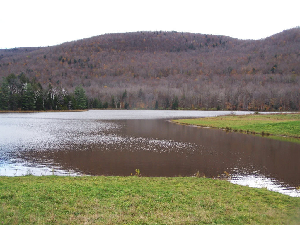 Photo: andyarthur, CC BY 2.0 (via Flickr)
Colgate Lake Trail
~10 min drive
8.42-mile out-and-back hike at Colgate Lake in New York with 1,199 ft elevation gain
Photo: Steve Shook from Moscow, Idaho, USA, CC BY 2.0 (via Wikimedia Commons)Stoppel Point Trail (red)
~9 min drive
3.16-mile out-and-back hike in New York with 1,768 ft gain and 2,590 ft max elevation.
Also worth it near here
 Photo: Mark Fickett, CC BY 3.0 (via Wikimedia Commons)
South Mountain
~3 min drive
 Photo: Mwanner, CC BY-SA 3.0 (via Wikimedia Commons)
Kaaterskill Falls
~3 min drive
 Photo: John B. from Highland Park, NJ, United States, CC BY 2.0 (via Wikimedia Commons)
Catskills
~3 min drive
BED
Blue Mountain Campground
~5 min drive
Map and trail data © OpenStreetMap contributors
