Escarpment Trail
 Photo: Andy Arthur, CC BY 2.0 (via Wikimedia Commons)
- 2.6 mi
- one way
- 600 ft
- climb
- 2,243 ft
- high point
- Point to point
- route
- Sep–Oct
- best months
Escarpment Trail is a 2.6-mile moderate hike in New York's Border Katerskill / Ns Lake Camp, managed by the State Department of Conservation. The trail rises about 600 feet from a low point of 1,855 feet to a high of 2,243 feet, and the steepest stretch comes at about 1.2 miles in, where the grade reaches 30 percent. The most comfortable months for a visit are typically late spring through early fall. Typical averages from the nearby Platte Clove weather station, at a similar elevation, run from highs around 67°F in May to about 72°F in September, with July peaking near 80°F. The trail is not wheelchair accessible, and bikes and horses are not allowed. Schutt Road lies just 0.3 miles away, and Poet's Ledge Trail and Rock Shelter Trail are both within about 2 miles. Climbers can find the Catskills climbing area about 1.1 miles off.
Local outfitters
- Catskill Outfitters16 mi away
Not on Roamze yet. Their page has how to reach them.
Best time to go · Sep–Oct
Best time to visit Escarpment Trail
Best months: September–October. Best months have typical highs of 55–85 °F, lows of 30 °F or warmer (32 °F where the station doesn't record snow), at most one snowy day and no more than 12 wet days.
Jan
32° / 12°
16 wet
Feb
35° / 13°
13 wet
Mar
42° / 20°
13 wet
Apr
55° / 31°
12 wet
May
67° / 42°
14 wet
Jun
75° / 51°
14 wet
Jul
80° / 55°
14 wet
Aug
79° / 54°
13 wet
Sep
72° / 48°
11 wet
Oct
59° / 37°
12 wet
Nov
47° / 28°
13 wet
Dec
37° / 19°
16 wet
Typical high / low (°F) and days with rain or snow, 1991–2020. Measured at Platte Clove, NY, 4 mi away at 2,032 ft. This station doesn't record snowfall. Source: NOAA NCEI U.S. Climate Normals 1991–2020.
Keep exploring — more trails worth the drive
Photo: Andy Arthur, CC BY 2.0 (via Wikimedia Commons)Schutt Road
Next door
0.97-mile out-and-back trail in New York with 367 ft elevation loss
 Photo: andyarthur, CC BY 2.0 (via Flickr)
Poet's Ledge Trail
~2 min drive
0.45-mile point-to-point trail in New York with 294 ft elevation loss.
 Photo: Alexander Gude, CC BY-SA 3.0 (via Wikimedia Commons)
Twilight Park Trail
~4 min drive
1.44-mile out-and-back trail in Twilight Park, New York with 1,285 ft of elevation gain.
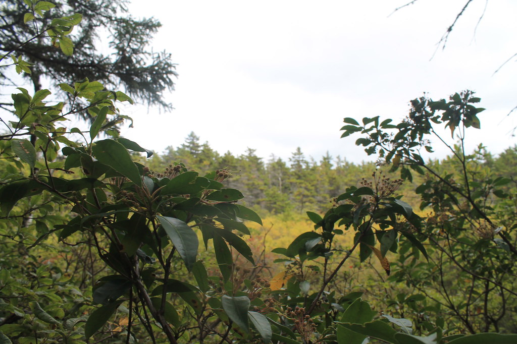 Photo: andyarthur, CC BY 2.0 (via Flickr)
Rock Shelter Trail
~3 min drive
Short point-to-point trail to a natural rock shelter in New York.
 Photo: Steve Shook from Moscow, Idaho, USA, CC BY 2.0 (via Wikimedia Commons)
Winter Clove Falls trail
~6 min drive
2.58-mile out-and-back hike in New York with 1,315 ft elevation gain
 Photo: New York Public Library, No restrictions (via Wikimedia Commons)
Devil's Path
~8 min drive
Strenuous 14.92-mile point-to-point Catskill ridge traverse for experienced hikers.
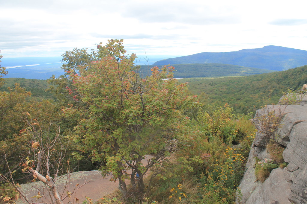 Photo: andyarthur, CC BY 2.0 (via Flickr)
Mary's Glen Trail
~4 min drive
1.28-mile point-to-point trail in New York with 69 ft gain and 637 ft loss
 Photo: Steve Shook from Moscow, Idaho, USA, CC BY 2.0 (via Wikimedia Commons)
Rip's Ledge trail
~6 min drive
5.5-mile out-and-back trail in New York with 1,982 ft elevation gain and loss.
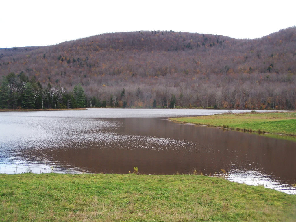 Photo: andyarthur, CC BY 2.0 (via Flickr)
Colgate Lake Trail
~9 min drive
8.42-mile out-and-back hike at Colgate Lake in New York with 1,199 ft elevation gain
 Photo: RobertDrake2015, CC BY-SA 4.0 (via Wikimedia Commons)
Kaaterskill Rail Trail
~4 min drive
2.88-mile out-and-back trail in New York with 442 ft elevation gain
Also worth it near here
 Photo: Mark Fickett, CC BY 3.0 (via Wikimedia Commons)
South Mountain
Next door
 Photo: Mwanner, CC BY-SA 3.0 (via Wikimedia Commons)
Kaaterskill Falls
~2 min drive
 Photo: John B. from Highland Park, NJ, United States, CC BY 2.0 (via Wikimedia Commons)
Catskills
~2 min drive
BED
Blue Mountain Campground
~6 min drive
Map and trail data © OpenStreetMap contributors
