Lillypad Pond campsite
Campground
Campground · 3.6 mi from the trail
Lillian Brook Trail is a 1.6-mile moderate hike in the High Peaks Wilderness of New York, managed by the State Department of Conservation. The nearest town is Underwood, about 5 miles away. The trail is a point-to-point route with a total elevation gain of 1,375 feet, rising from about 2,500 feet to nearly 3,900 feet. The steepest stretch comes early, with a 50% grade at about 0.18 miles in. The climb is one way, and the route also includes a total descent of about 1,400 feet. Grace Peak Trail and the Lillian Brook Cutoff Trail both lie within half a mile, and the Boquet Forks Trail and Dix Range Trail are each about a mile away.
Lillypad Pond campsite
Campground
Schroon Lake view
Viewpoint
Places © OpenStreetMap contributors
More in Schroon LakeNot on Roamze yet. Their page has how to reach them.
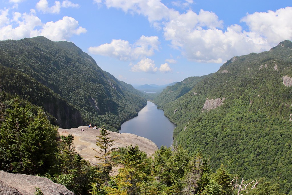 Photo: daveynin, CC BY 2.0 (via Flickr)
Elk Pass Trail
~6 min drive
Elk Pass Trail is a 1.24-mile point-to-point trail in New York with 1,545 ft of elevation gain.
 Photo: daveynin, CC BY 2.0 (via Flickr)
Gill Brook Trail
~7 min drive
2.24-mile point-to-point trail in New York with 960 ft gain
 Photo: Fil.Al, CC BY 2.0 (via Flickr)
S. Burns Weston Trail
~8 min drive
A 2.54-mile point-to-point trail offering accessible hiking through New York terrain.
Photo: daveynin, CC BY 2.0 (via Flickr)Colvin Range Trail
~6 min drive
5.72-mile point-to-point trail in New York with 2,364 ft elevation gain.
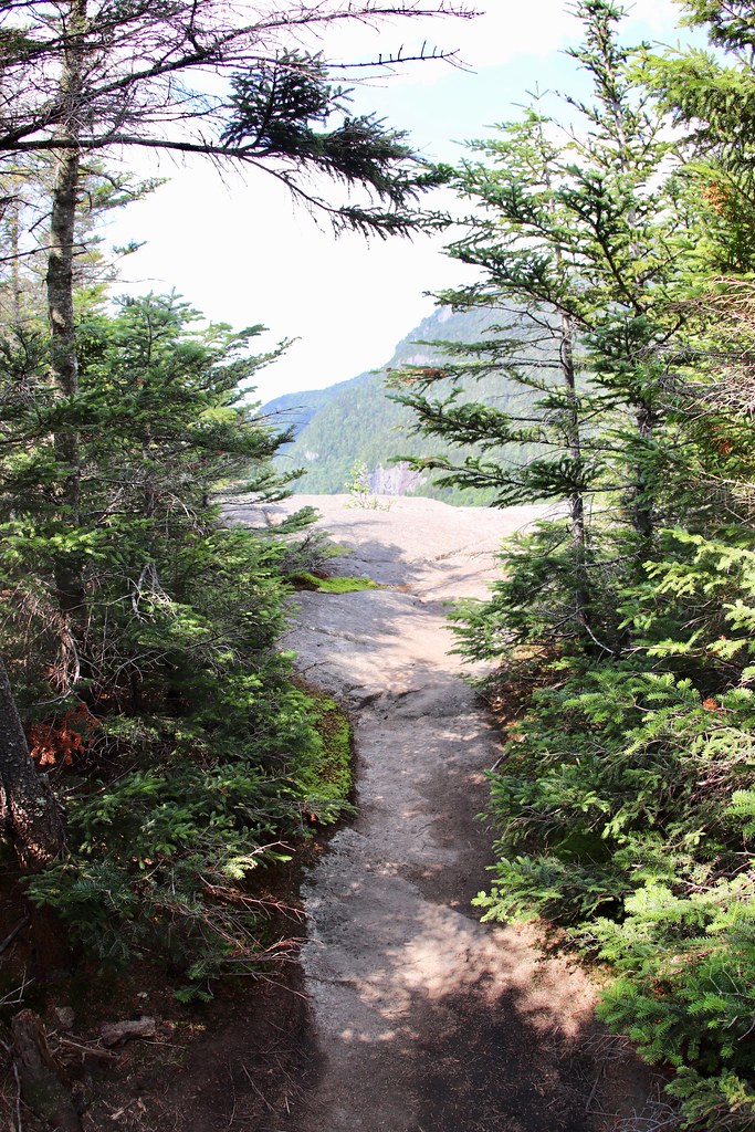 Photo: daveynin, CC BY 2.0 (via Flickr)
Indian Head Crossover Trail
~7 min drive
0.65-mile point-to-point trail in New York with 110 ft gain and 516 ft loss
Photo: daveynin, CC BY 2.0 (via Flickr)Fish Hawk Cliffs Trail
~7 min drive
0.61-mile point-to-point trail in New York with 210 ft gain.
Photo: daveynin, CC BY 2.0 (via Flickr)Gill Brook Cutoff Trail
~7 min drive
0.42-mile point-to-point trail in New York with 16 ft gain and 290 ft loss.
Photo: daveynin — CC BY 2.0 (via Flickr)Indian Head Trail
~7 min drive
Indian Head Trail is a 0.71-mile point-to-point trail in New York with 375 ft gain.
 Photo: Judy Gallagher, CC BY 2.0 (via Flickr)
Boquet Forks Trail - High Water Route
~7 min drive
0.53-mile out-and-back trail in New York with 132 ft gain.
Photo: Fil.Al, CC BY 2.0 (via Flickr)Felix Adler Trail
~7 min drive
0.87-mile point-to-point trail in New York with 1,144 ft elevation loss
Map and trail data © OpenStreetMap contributors

