Gulf Brook Campsite #1
Campground
Campground · 5.0 mi from the trail
Hopkins via Spread Eagle Trail is a hard hike of about 1.2 miles with a total elevation gain of 1,098 feet, set in the Giant Mountain Wilderness of New York. The State Department of Conservation manages the land, and the route starts at an elevation of about 3,148 feet, rising to a high point of about 3,181 feet before descending slightly to a low of about 1,983 feet. The trail is a point-to-point route with a steady climb, so plan on about an hour for the trip. Bikes and horses are not allowed. Summer is the most comfortable time to go. A nearby weather station at Lake Placid, which sits well below the trail, records typical July highs around 74°F with lows near 54°F. That station runs about 1,293 feet lower than the trail's high point, so temperatures on the summit run cooler. Several other trails lie close by, including the Hopkins Direct Trail and the Mossy Cascade Trail, both within half a mile. The Case Wall climbing area is about 2.6 miles away.
Gulf Brook Campsite #1
Campground
Schroon Lake view
Viewpoint
Places © OpenStreetMap contributors
More in Schroon LakeNot on Roamze yet. Their page has how to reach them.
No month here meets our mild-weather rule. Best months have typical highs of 55–85 °F, lows of 30 °F or warmer (32 °F where the station doesn't record snow), at most one snowy day and no more than 12 wet days.
Jan
23° / 6°
18 wet
Feb
27° / 8°
14 wet
Mar
36° / 16°
14 wet
Apr
49° / 29°
14 wet
May
62° / 40°
15 wet
Jun
70° / 49°
14 wet
Jul
74° / 54°
14 wet
Aug
73° / 52°
13 wet
Sep
66° / 45°
13 wet
Oct
52° / 35°
15 wet
Nov
40° / 25°
16 wet
Dec
28° / 14°
18 wet
Typical high / low (°F) and days with rain or snow, 1991–2020. Measured at Lake Placid 2 S, NY, 14.3 mi away at 1,888 ft. The station sits about 1,300 ft lower than this place, so expect it a little cooler here. This station doesn't record snowfall. Source: NOAA NCEI U.S. Climate Normals 1991–2020.
 Photo: Dougtone, CC BY-SA 2.0 (via Flickr)
Washbowl Trail
~4 min drive
Washbowl Trail is a 0.90-mile point-to-point trail in New York with 559 ft of elevation gain.
Photo: Dougtone, CC BY-SA 2.0 (via Flickr)Roaring Brook Trail
~4 min drive
3.23-mile point-to-point trail in New York with 3,540 ft elevation gain
 Photo: matt.a, CC BY 3.0 (via Wikimedia Commons)
Hedgehog Trail
~5 min drive
1.38-mile point-to-point trail in New York with 1,076 ft elevation gain.
 Photo: Fil.Al, CC BY 2.0 (via Flickr)
S. Burns Weston Trail
~6 min drive
A 2.54-mile point-to-point trail offering accessible hiking through New York terrain.
Photo: Dougtone, CC BY-SA 2.0 (via Flickr)Nubble Trail
~4 min drive
Nubble Trail is a point-to-point trail in New York, 0.88 miles with 833 ft gain.
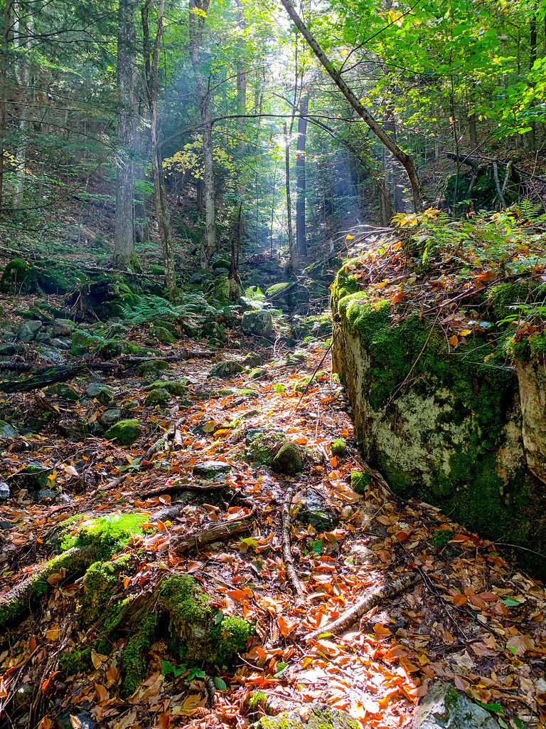 Photo: Fil.Al, CC BY 2.0 (via Flickr)
Henry Stimson Trail
~5 min drive
1.29-mile point-to-point trail in New York with 1,749 ft elevation gain.
HIKE
Ranney Trail
Next door
Ranney Trail is a 1.38-mile point-to-point trail in New York with 1,323 ft of elevation loss.
HIKE
Upham Trail
~4 min drive
1.43-mile out-and-back trail in New York with 1,333 ft elevation loss.
Photo: Fil.Al, CC BY 2.0 (via Flickr)Old Dix Trail
~5 min drive
2.07-mile point-to-point trail in New York with 922 ft elevation gain.
 Photo: matt.a, CC BY 3.0 (via Wikimedia Commons)
Phelps Trail
~6 min drive
7.77-mile point-to-point trail in New York with 2,388 ft gain.
About 1.2 mi.
About 1,098 ft of climbing round trip.
It is rated hard.
About 1 hour round trip.
Daily highs and lows, wind and the chance of precipitation at the summit and route start for the next 7 days, from the Open-Meteo model.
Map and trail data © OpenStreetMap contributors

