Future Cascade Trail (Under construction)
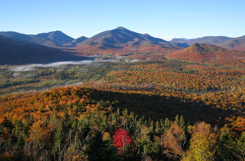 Photo: Jonathan Miske, CC BY-SA 2.0 (via Flickr)
- 3.8 mi
- round trip
- 2,664 ft
- climb
- 3,746 ft
- high point
- Out and back
- route
Future Cascade Trail is a hard hike in the Mount Van Hoevenberg Winter Recreation Area in New York, managed by the State Department of Conservation. The route is under construction and is an out-and-back of about 7.6 miles, with a total elevation gain of 2,664 feet. The high point reaches 3,746 feet, and the trail's steepest stretch comes at about 2.3 miles in, where the grade hits 21 percent. The hike starts at an elevation of about 2,428 feet and ends at the same level, with the climb split evenly between ascent and descent. A round trip of about 7.6 miles takes roughly four hours to complete. The trail sits within a cluster of cross-country ski routes. The Ladies 5K and Hi Notch Trail are both within about a quarter mile, and the World Cup Trails are about 0.4 miles away. Farther out, the West Branch Ausable River offers canoeing about 1.8 miles from the trail.
Local outfitters
- Cloudsplitter Outfitters20 mi away
- Great Camp Sagamore47 mi away
Not on Roamze yet. Their page has how to reach them.
- Ladies 5KCross-country skiing0.1 mi
- Hi Notch TrailCross-country skiing0.2 mi
- World Cup TrailsCross-country skiing0.4 mi
- Erratic TrailCross-country skiing0.4 mi
- West Branch Ausable RiverCanoeing1.8 mi
- Pitchoff Chimney CliffRock climbing3.2 mi
- The Barkeater CliffRock climbing4.2 mi
- The CourthouseRock climbing4.3 mi
Source: Roamze catalog (indexable pages within 10 miles, PostGIS distance)
- Mount Van Hoevenberg TrailHiking · Next doorPhoto: Jonathan Miske, CC BY-SA 2.0 (via Flickr)
 Mr. Van Ski TrailHiking · ~3 min drivePhoto: runJMrun, CC BY 2.0 (via Flickr)
 Mount Jo TrailsHiking · ~5 min drivePhoto: delaere, CC BY 2.0 (via Flickr)
 Cascade Mountain TrailHiking · ~5 min drivePhoto: matt.a, CC BY 3.0 (via Wikimedia Commons)
- Heart Lake LoopHiking · ~6 min drivePhoto: delaere, CC BY 2.0 (via Flickr)
 Phelps Mountain TrailHiking · ~7 min drivePhoto: seabamirum, CC BY 2.0 (via Flickr)
- Porter Mountain TrailHiking · ~5 min drivePhoto: matt.a, CC BY 3.0 (via Wikimedia Commons)
 Klondike Notch TrailHiking · ~6 min drivePhoto: matt.a, CC BY 3.0 (via Wikimedia Commons)
- Tabletop Mountain TrailHiking · ~8 min drivePhoto: seabamirum, CC BY 2.0 (via Flickr)
- Big Slide TrailHiking · ~5 min drivePhoto: matt.a, CC BY 3.0 (via Wikimedia Commons)
Map and trail data © OpenStreetMap contributors
