Falls Trail
 Photo: ke9tv, CC BY-SA 2.0 (via Flickr)
- 0.5 mi
- one way
- 150 ft
- climb
- 1,544 ft
- high point
- Point to point
- route
- Apr–Oct
- best months
Falls Trail is a short, easy hike of about half a mile in the Edmund Niles Huyck Preserve in New York, managed by a non-governmental organization. The trail rises about 150 feet from a starting point near 1,458 feet to a high point of about 1,544 feet, with the steepest stretch coming within the first 0.05 miles at a grade of about 12 percent. Summer is the most comfortable time to go. Typical averages from a nearby weather station at Alcove Dam show July highs around 79°F with lows near 59°F, though that station sits well below the preserve, so temperatures on the trail run cooler. The route is not wheelchair accessible, and bikes and horses are not allowed. The trip takes about half an hour, and the trail makes a good pairing with other hikes in the preserve. Myosotis Dam Trail is about 0.3 miles away, Ordway Trail about 0.8 miles, and Race Track and Wheeler-Watson Trail both about 1.1 miles.
Local outfitters
- Catskill Outfitters32 mi away
Not on Roamze yet. Their page has how to reach them.
Best time to go · Apr–Oct
Best time to visit Falls Trail
Best months: April–October. Best months have typical highs of 55–85 °F, lows of 30 °F or warmer (32 °F where the station doesn't record snow), at most one snowy day and no more than 12 wet days.
Jan
32° / 13°
11 wet
Feb
34° / 13°
9 wet
Mar
43° / 22°
10 wet
Apr
56° / 34°
11 wet
May
68° / 45°
12 wet
Jun
75° / 54°
12 wet
Jul
79° / 59°
12 wet
Aug
78° / 57°
12 wet
Sep
71° / 50°
11 wet
Oct
59° / 39°
11 wet
Nov
47° / 29°
10 wet
Dec
37° / 21°
11 wet
Typical high / low (°F) and days with rain or snow, 1991–2020. Measured at Alcove Dam, NY, 11.4 mi away at 607 ft. The station sits about 900 ft lower than this place, so expect it a little cooler here. This station doesn't record snowfall. Source: NOAA NCEI U.S. Climate Normals 1991–2020.
Keep exploring — more trails worth the drive
 Photo: ke9tv, CC BY-SA 2.0 (via Flickr)
Myosotis Dam Trail
Next door
0.34-mile point-to-point trail in New York with 75 ft gain.
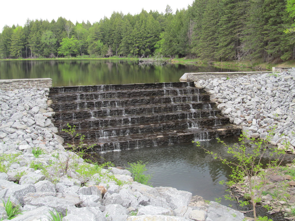 Photo: ke9tv, CC BY-SA 2.0 (via Flickr)
Lake Trail
~2 min drive
Easy 2.55-mile point-to-point lakeside hike in New York.
 Photo: ke9tv, CC BY-SA 2.0 (via Flickr)
Ordway Trail
~1 min drive
0.45-mile point-to-point trail in New York with 233 ft gain
 Photo: Dougtone, CC BY-SA 2.0 (via Wikimedia Commons)
Yellow Trail
~19 min drive
Quick point-to-point trail under 1 mile in New York.
 Photo: ke9tv, CC BY-SA 2.0 (via Flickr)
Race Track
~2 min drive
0.38-mile loop trail in New York with 29 feet of elevation gain.
HIKE
White Trail
~21 min drive
Quick point-to-point trail through New York woodland.
Photo: ke9tv, CC BY-SA 2.0 (via Flickr)Wheeler-Watson Trail
~2 min drive
0.46-mile point-to-point trail in New York with 41 ft gain
HIKE
White Trail
~21 min drive
0.53-mile point-to-point trail in New York with 125 ft gain
 Photo: ke9tv, CC BY-SA 2.0 (via Flickr)
Lincoln Pond Trail
~2 min drive
0.65-mile point-to-point trail in New York with 242 ft elevation gain
HIKE
Yellow Trail
~21 min drive
0.43-mile point-to-point trail in New York with 88 ft elevation gain.
Map and trail data © OpenStreetMap contributors
