Lincoln Pond Trail
 Photo: ke9tv, CC BY-SA 2.0 (via Flickr)
- 0.7 mi
- one way
- 23 ft
- climb
- 1,601 ft
- high point
- Point to point
- route
- Apr–Oct
- best months
Clear at last check
Weather is good · OpenWeather · checked 18 h ago
Lincoln Pond Trail is a short, easy hike in New York, about 0.65 miles long and rising just 23 feet from its low point of 1,574 feet to a high of 1,601 feet. It is a point-to-point route, and the steepest stretch comes at about 0.59 miles in, with a grade of about 4 percent. The nearest town is Rensselaerville, about 1.2 miles away. The trail is not wheelchair accessible, and bikes and horses are not allowed. For the most comfortable conditions, aim for late spring or early fall. Typical averages from a nearby weather station in Schoharie put May highs around 72°F and September highs around 74°F, though that station sits well below the trail, so temperatures on the route run cooler. Lake Trail starts just 0.1 mile away, and Wheeler-Watson Trail and Ordway Trail are each about 0.4 mile off. Tenmile Creek, a paddling spot, is about 4 miles away.
Local outfitters
- Catskill Outfitters33 mi away
Not on Roamze yet. Their page has how to reach them.
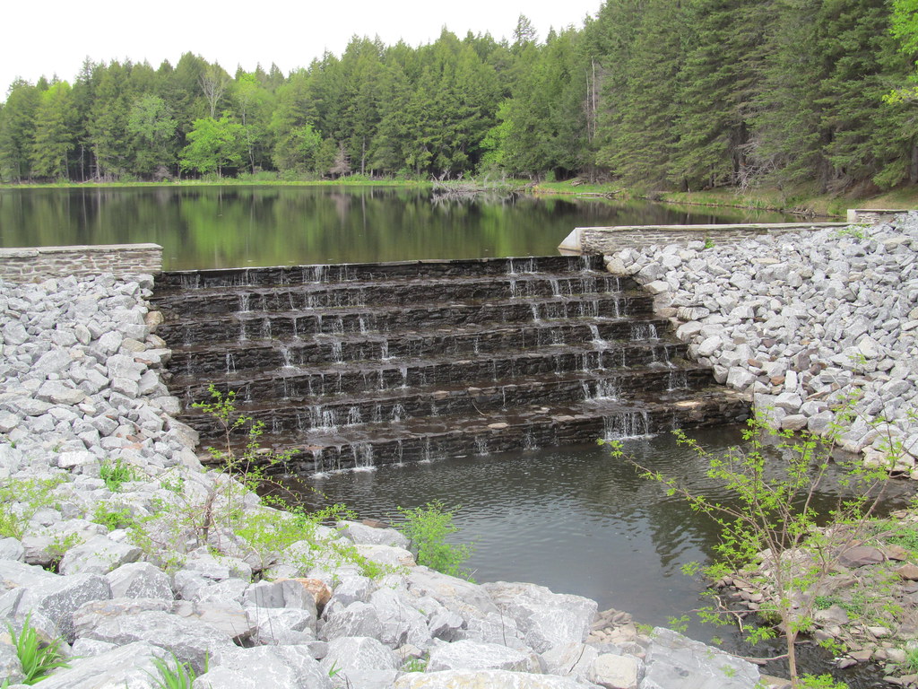 Lake TrailHikingPhoto: ke9tv, CC BY-SA 2.0 (via Flickr)0.1 mi
 Wheeler-Watson TrailHikingPhoto: ke9tv, CC BY-SA 2.0 (via Flickr)0.4 mi
 Ordway TrailHikingPhoto: ke9tv, CC BY-SA 2.0 (via Flickr)0.4 mi
- Race TrackHikingPhoto: ke9tv, CC BY-SA 2.0 (via Flickr)0.5 mi
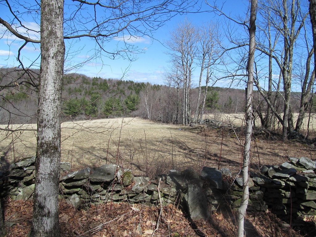 Loop 1HikingPhoto: ke9tv, CC BY-SA 2.0 (via Flickr)0.7 mi
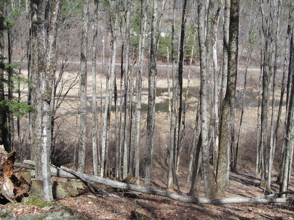 Loop 2HikingPhoto: ke9tv, CC BY-SA 2.0 (via Flickr)0.9 mi
- Tenmile CreekCanoeing4 mi
- Catskill CreekRiver fishing8 mi
Source: Roamze catalog (indexable pages within 10 miles, PostGIS distance)
- Lake TrailHiking · Next doorPhoto: ke9tv, CC BY-SA 2.0 (via Flickr)
- Wheeler-Watson TrailHiking · Next doorPhoto: ke9tv, CC BY-SA 2.0 (via Flickr)
 Yellow TrailHiking · ~19 min drivePhoto: Dougtone, CC BY-SA 2.0 (via Wikimedia Commons)
- Ordway TrailHiking · Next doorPhoto: ke9tv, CC BY-SA 2.0 (via Flickr)
- White TrailHiking · ~20 min drive
- Race TrackHiking · Next doorPhoto: ke9tv, CC BY-SA 2.0 (via Flickr)
- White TrailHiking · ~20 min drive
- Loop 1Hiking · ~1 min drivePhoto: ke9tv, CC BY-SA 2.0 (via Flickr)
- Yellow TrailHiking · ~20 min drive
- Loop 2Hiking · ~2 min drivePhoto: ke9tv, CC BY-SA 2.0 (via Flickr)
Best time to visit Lincoln Pond Trail
Best months: April–October. Best months have typical highs of 55–85 °F, lows of 30 °F or warmer (32 °F where the station doesn't record snow), at most one snowy day and no more than 12 wet days.
Jan
33° / 13°
Feb
37° / 14°
Mar
46° / 22°
Apr
60° / 34°
May
72° / 45°
Jun
79° / 55°
Jul
84° / 59°
Aug
82° / 58°
Sep
74° / 50°
Oct
62° / 39°
Nov
49° / 29°
Dec
37° / 21°
Typical high / low (°F) and days with rain or snow, 1991–2020. Measured at Schoharie, NY, 12.1 mi away at 734 ft. The station sits about 900 ft lower than this place, so expect it a little cooler here. This station doesn't record snowfall. Source: NOAA NCEI U.S. Climate Normals 1991–2020.
Map and trail data © OpenStreetMap contributors
