Erie Canalway Trail (Canajoharie to Amsterdam)
- 22.9 mi
- one way
- 51 ft
- climb
- 312 ft
- high point
- Point to point
- route
- May–Oct
- best months
The Erie Canalway Trail from Canajoharie to Amsterdam is a 22.9-mile point-to-point route in New York, starting about 0.7 miles from the town of Canajoharie. It is an easy walk with a total elevation gain of 51 feet, so the climb is almost flat from start to finish. Summer is the most comfortable time to go. Typical averages from a nearby weather station run to highs around 78°F in July, with lows near 58°F. That station sits roughly 1,000 feet lower than the trail, so temperatures along the route run cooler. Bikes are allowed on this stretch, so the trail works for both hikers and riders. The route is part of the Erie Canalway Trail network.
Best time to go · May–Oct
Best time to visit Erie Canalway Trail (Canajoharie to Amsterdam)
Best months: May–October. Best months have typical highs of 55–85 °F, lows of 30 °F or warmer (32 °F where the station doesn't record snow), at most one snowy day and no more than 12 wet days.
Jan
28° / 13°
Feb
31° / 14°
Mar
40° / 22°
Apr
54° / 33°
May
66° / 45°
Jun
74° / 54°
Jul
78° / 58°
Aug
76° / 56°
Sep
69° / 50°
Oct
58° / 39°
Nov
45° / 29°
Dec
34° / 20°
Typical high / low (°F) and days with rain or snow, 1991–2020. Measured at Cherry Valley 2 Nne, NY, 9.6 mi away at 1,360 ft. The station sits about 1,000 ft higher than this place, so expect it a little warmer here. This station doesn't record snowfall. Source: NOAA NCEI U.S. Climate Normals 1991–2020.
Keep exploring — more trails worth the drive
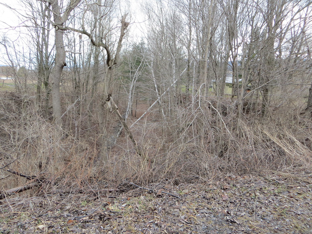 Photo: Russ Nelson, CC BY-SA 2.0 (via Flickr)
Orange Trail
~27 min drive
1.56-mile loop in New York with 277 ft elevation gain
 Photo: Russ Nelson, CC BY-SA 2.0 (via Flickr)
Fonda, Johnstown and Gloversville Rail Trail
~34 min drive
5.8-mile out-and-back rail trail in New York with 666 ft elevation gain/loss
 Photo: Schezar, CC BY 2.0 (via Flickr)
Erie Canalway Trail (Little Falls to Canajoharie)
~29 min drive
18.71-mile point-to-point Erie Canalway Trail from Little Falls to Canajoharie in New York.
Photo: Schezar, CC BY 2.0 (via Flickr)Erie Canalway Trail (Frankfort to Little Falls)
~29 min drive
10.86-mile point-to-point trail from Frankfort to Little Falls on the Erie Canalway.
HIKE
Erie Canalway Trail (Amsterdam to Schenectady)
~34 min drive
Flat Erie Canal towpath walk from Amsterdam to Schenectady with historic charm.
HIKE
Burnt Valley Trail
~32 min drive
6.72-mile out-and-back hike in New York with 968 ft elevation gain.
 Photo: Dougtone, CC BY-SA 2.0 (via Wikimedia Commons)
Blue Trail
~30 min drive
1.09-mile loop in New York with 314 ft gain and 310 ft loss.
HIKE
Avery Road Trail
~37 min drive
2.74-mile out-and-back trail in New York with 285 ft elevation gain.
HIKE
Dexter Lake Trail
~40 min drive
7.04-mile out-and-back hike in New York with 945 ft elevation gain.
 Photo: markcbrennan, CC BY-SA 2.0 (via Flickr)
Spectacle Lake Trail
~40 min drive
1.14-mile out-and-back hike to Spectacle Lake in New York.
Also worth it near here


Map and trail data © OpenStreetMap contributors
