Mount Independence
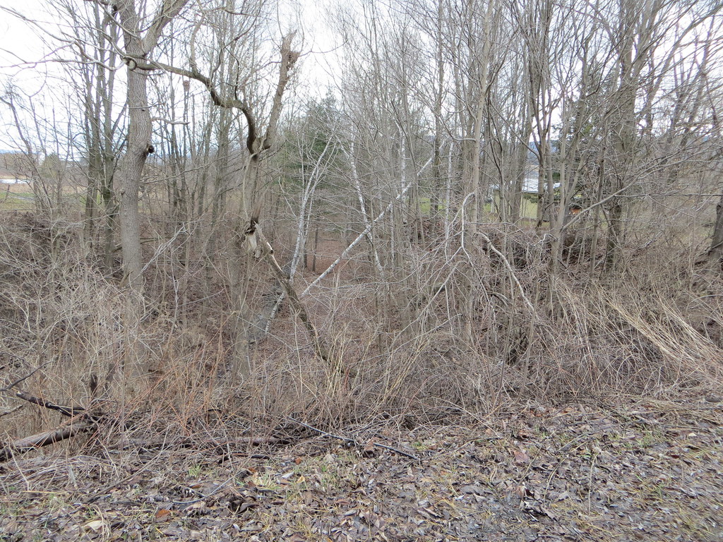
 Photo: 420Traveler, CC BY-SA 4.0 (via Wikimedia Commons)
- 2,225 ft
- summit
- May–Oct
- best months
Mount Independence is a summit in Otsego County, New York, rising to about 2,225 feet. The nearest town is Cherry Valley, about 3 miles away. Summer is the most comfortable time to visit. Typical averages from a nearby weather station in Cherry Valley run to highs around 78°F in July with lows near 58°F, and temperatures on the summit run cooler than those figures. Paddlers can head to Cherry Valley Creek, about 5 miles away, or Otsquago Creek, roughly 9 miles off. Hikers can pick up the Erie Canalway Trail between Canajoharie and Amsterdam, about 9.5 miles away.
Conditions and forecast
Daily highs and lows, wind and the chance of precipitation at the summit for the next 7 days, from the Open-Meteo model.
- Summit elevation
- 2,225 ft
Elevation from USGS 3D Elevation Program terrain data (about 10 m resolution).
We don't know of a mapped trail or route to the summit of Mount Independence. Plan the approach with local maps, a guidebook or a local guide, and check conditions before you go.
Questions about Mount Independence
How tall is Mount Independence?
2,225 ft (678 m).
Is there a trail to the top of Mount Independence?
We don't know of a mapped trail or route to the summit. Plan the approach with local maps, a guidebook or a local guide.
- Bliss Round Top1,826 ft · New York1 route12 mi away
- Good Luck Mountain2,335 ft · New York1 route32 mi away
- Bramley Mountain2,817 ft · New York2 routes35 mi away
- Huntersfield Mountain3,423 ft · New York2 routes35 mi away
- Quaker Hill1,880 ft · New York2 routes35 mi away
- Moscow Hill1,799 ft · New York1 route36 mi away
 Cherry Valley CreekCanoeingPhoto: 420Traveler, CC BY-SA 4.0 (via Wikimedia Commons)4.7 mi
- Otsquago CreekCanoeing9.2 mi
- Erie Canalway Trail (Canajoharie to Amsterdam)Hiking9.5 mi
Source: Roamze catalog (indexable pages within 10 miles, PostGIS distance)
 Pine CobbleSummit · ~13 min drivePhoto: 420Traveler, CC BY-SA 4.0 (via Wikimedia Commons)
 Mount WellingtonSummit · ~16 min drivePhoto: 420Traveler, CC BY-SA 4.0 (via Wikimedia Commons)
 Mohegan HillSummit · ~24 min drivePhoto: 420Traveler, CC BY-SA 4.0 (via Wikimedia Commons)
 Nine HillSummit · ~29 min drivePhoto: 420Traveler, CC BY-SA 4.0 (via Wikimedia Commons)
 Sheeley MountainSummit · ~46 min drivePhoto: 420Traveler, CC BY-SA 4.0 (via Wikimedia Commons)
 CamelhumpSummit · ~50 min drivePhoto: 420Traveler, CC BY-SA 4.0 (via Wikimedia Commons)
 Little Cathead MountainSummit · ~1h 5m drivePhoto: Andy Arthur, CC BY 2.0 (via Wikimedia Commons)
 Vly MountainSummit · ~1h 8m drivePhoto: TheTurducken. Edited slightly prior to upload by Daniel Case, CC BY 2.0 (via Wikimedia Commons)
 Evergreen MountainSummit · ~1h 17m drivePhoto: Daniel Case, CC BY-SA 3.0 (via Wikimedia Commons)
 Huckleberry MountainSummit · ~1h 17m drivePhoto: Andy Arthur, CC BY 2.0 (via Wikimedia Commons)
Also worth it near here
 Judds FallsWaterfall · ~5 min drivePhoto: 420Traveler, CC BY-SA 4.0 (via Wikimedia Commons)
- Cherry Valley CreekCanoeing · ~8 min drivePhoto: 420Traveler, CC BY-SA 4.0 (via Wikimedia Commons)
- Cooperstown Shadow Brook CampgroundCamping · ~12 min drive
 Orange TrailHiking · ~20 min drivePhoto: Russ Nelson, CC BY-SA 2.0 (via Flickr)
Best time to visit Mount Independence
Best months: May–October. Best months have typical highs of 55–85 °F, lows of 30 °F or warmer (32 °F where the station doesn't record snow), at most one snowy day and no more than 12 wet days.
Jan
28° / 13°
Feb
31° / 14°
Mar
40° / 22°
Apr
54° / 33°
May
66° / 45°
Jun
74° / 54°
Jul
78° / 58°
Aug
76° / 56°
Sep
69° / 50°
Oct
58° / 39°
Nov
45° / 29°
Dec
34° / 20°
Typical high / low (°F) and days with rain or snow, 1991–2020. Measured at Cherry Valley 2 Nne, NY, 3 mi away at 1,360 ft. The station sits about 900 ft lower than this place, so expect it a little cooler here. This station doesn't record snowfall. Source: NOAA NCEI U.S. Climate Normals 1991–2020.
