Dexter Lake Trail
- 7.0 mi
- round trip
- 1,288 ft
- climb
- 1,871 ft
- high point
- Out and back
- route
- May–Sep
- best months
Dexter Lake Trail is a 14.1-mile out-and-back hike in New York's Ferris Lake Wild Forest, managed by the State Department of Conservation. The trail starts at about 1,723 feet and climbs to a high point of 1,871 feet, with a total elevation gain of 1,288 feet over the round trip. The route is rated hard, and the steepest stretch comes at about 5 miles in, where the grade reaches 20%. Summer is the most comfortable time to go. Typical averages from a nearby weather station at Gloversville put July highs around 77°F with lows near 56°F, and the station sits roughly 400 feet lower than the trail's high point, so temperatures on the summit run cooler. The trip takes about 5.5 hours. Long Lake Trail and Avery Road Trail are both within about 2 miles, and Good Luck Mountain and State Brook offer climbing a little farther out.
Local outfitters
- Great Camp Sagamore36 mi away
Not on Roamze yet. Their page has how to reach them.
Best time to go · May–Sep
Best time to visit Dexter Lake Trail
Best months: May–September. Best months have typical highs of 55–85 °F, lows of 30 °F or warmer (32 °F where the station doesn't record snow), at most one snowy day and no more than 12 wet days.
Jan
24° / 7°
Feb
27° / 8°
Mar
35° / 16°
Apr
48° / 29°
May
63° / 42°
Jun
72° / 52°
Jul
77° / 56°
Aug
73° / 54°
Sep
67° / 46°
Oct
53° / 36°
Nov
40° / 25°
Dec
30° / 16°
Typical high / low (°F) and days with rain or snow, 1991–2020. Measured at Gloversville 7nw (Peck Lake), NY, 12.6 mi away at 1,455 ft. This station doesn't record snowfall. Source: NOAA NCEI U.S. Climate Normals 1991–2020.
Keep exploring — more trails worth the drive
 Photo: markcbrennan, CC BY-SA 2.0 (via Flickr)
Good Luck Cliffs Trail
~4 min drive
0.55-mile out-and-back trail to Good Luck Cliffs in New York with 625 ft gain.
 Photo: Jordan Meeter, CC BY 3.0 (via Wikimedia Commons)
Fawn Lake Trail
~31 min drive
7.3-mile out-and-back hike in New York with 865 ft elevation gain and loss.
 Photo: Schezar, CC BY 2.0 (via Flickr)
Erie Canalway Trail (Little Falls to Canajoharie)
~33 min drive
18.71-mile point-to-point Erie Canalway Trail from Little Falls to Canajoharie in New York.
HIKE
French Louis Trail
~42 min drive
8.34-mile out-and-back trail in New York with 1,183 ft elevation gain.
Photo: markcbrennan, CC BY-SA 2.0 (via Flickr)Spectacle Lake Trail
~4 min drive
1.14-mile out-and-back hike to Spectacle Lake in New York.
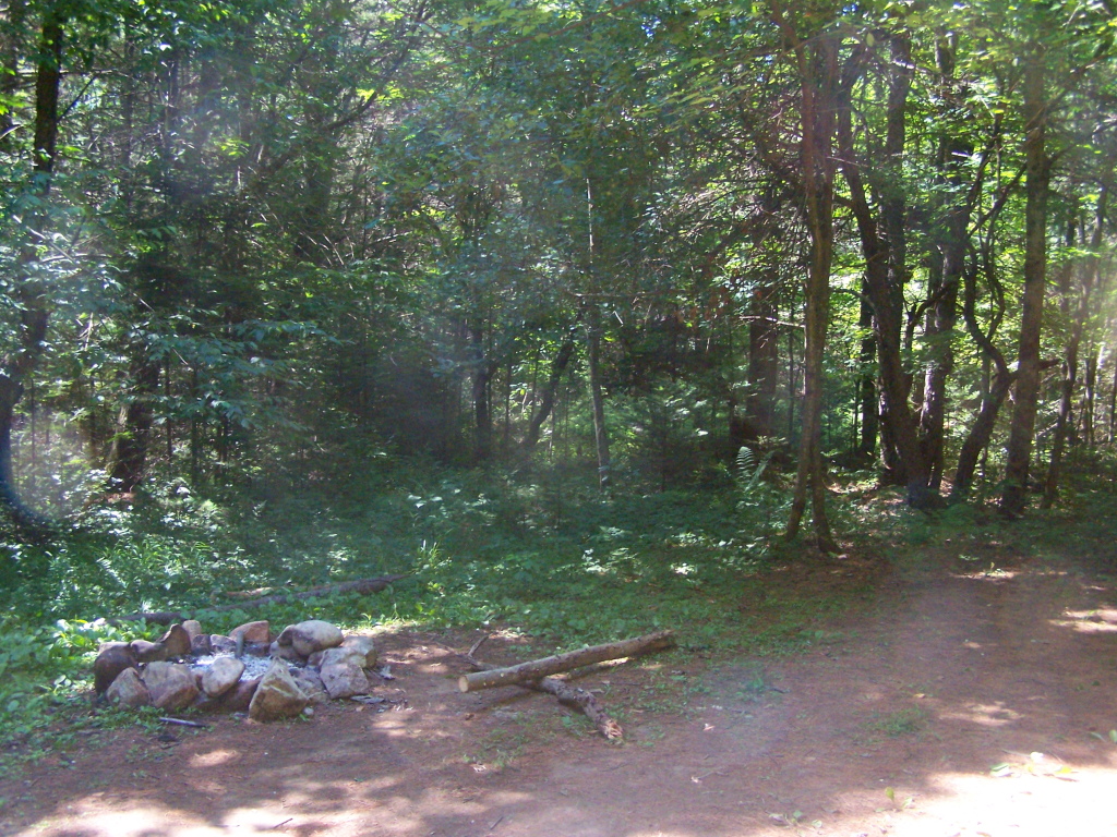 Photo: andyarthur, CC BY 2.0 (via Flickr)
Coulombe Creek trail
~34 min drive
7.42-mile out-and-back hike in New York with 962 ft elevation gain
 Photo: andyarthur, CC BY 2.0 (via Flickr)
Murphy lake path
~34 min drive
13.16-mile out-and-back trail in New York with 2,095 ft elevation gain
Photo: markcbrennan, CC BY-SA 2.0 (via Flickr)West Stoner Lake Trail
~5 min drive
2.48-mile out-and-back hike with 434 ft gain and 600 ft loss in New York.
 Photo: Russ Nelson, CC BY-SA 2.0 (via Flickr)
Fonda, Johnstown and Gloversville Rail Trail
~35 min drive
5.8-mile out-and-back rail trail in New York with 666 ft elevation gain/loss
HIKE
Burnt Valley Trail
~8 min drive
6.72-mile out-and-back hike in New York with 968 ft elevation gain.

Map and trail data © OpenStreetMap contributors
