Blue Trail
- 1.2 mi
- one way
- 174 ft
- climb
- 746 ft
- high point
- Point to point
- route
- Apr
- best months
Blue Trail is a short, easy hike on Town of Lewisboro land in New York, managed by city land. The route is about 1.2 miles long, with a total elevation gain of 174 feet and a total loss of 244 feet, so it works well as a quick outing or a link between other trails in the area. The trail is a point-to-point route, and the steepest stretch comes early, at about 0.16 miles in, with a 10% grade. Dogs are allowed as long as they stay on a leash, and bikes are not permitted. For comfortable weather, late spring and early fall are the best bets. Typical averages from a nearby weather station in Danbury, Connecticut, show May highs around 69°F and September highs around 74°F, with July the warmest month at about 82°F. The Yellow Trail and Green Trail both start about 0.2 miles away, and the Orange Trail is about 0.7 miles off. Ward Pound Ridge Reservation, a climbing area, lies about 3.4 miles away.
Local outfitters
- Pier 13 Hoboken43 mi away
Not on Roamze yet. Their page has how to reach them.
- Yellow TrailHiking0.2 mi
- Green TrailHiking0.2 mi
- Orange TrailHiking0.7 mi
- Ward Pound Ridge ReservationRock climbing3.4 mi
- Mountain LakesRock climbing4.5 mi
- Norwalk RiverCanoeing5.2 mi
- Westchester Wilderness Walk/Zofnass Family PreserveRock climbing6 mi
 Still RiverCanoeingPhoto: Pedro Xing, CC0 (via Wikimedia Commons)9.1 mi
Source: Roamze catalog (indexable pages within 10 miles, PostGIS distance)
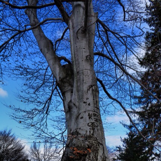 Casey Lane TrailHiking · ~4 min drivePhoto: Mílton Jung, CC BY 2.0 (via Flickr)
 White TrailHiking · ~6 min drivePhoto: Chrisbkes, CC BY 2.0 (via Flickr)
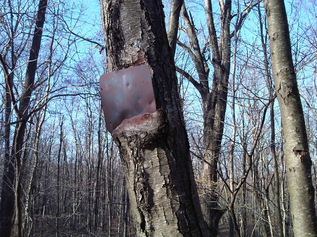 Super Sketchy Blue Moon TrailHiking · ~5 min drivePhoto: kschlot1, CC BY 2.0 (via Flickr)
- Yellow TrailHiking · Next door
- Fox Hill TrailHiking · ~6 min drivePhoto: kschlot1, CC BY 2.0 (via Flickr)
- White TrailHiking · ~4 min drive
- Red TrailHiking · ~6 min drivePhoto: kschlot1, CC BY 2.0 (via Flickr)
- Blue TrailHiking · ~4 min drive
 Leatherman's LoopHiking · ~6 min drivePhoto: Chrisbkes, CC BY 2.0 (via Flickr)
- White TrailHiking · ~6 min drive
Best time to visit Blue Trail
Best months: April. Best months have typical highs of 55–85 °F, lows of 30 °F or warmer (32 °F where the station doesn't record snow), at most one snowy day and no more than 12 wet days.
Jan
36° / 18°
11 wet
Feb
39° / 20°
10 wet
Mar
47° / 27°
11 wet
Apr
59° / 37°
12 wet
May
69° / 46°
14 wet
Jun
78° / 56°
13 wet
Jul
82° / 62°
13 wet
Aug
80° / 60°
14 wet
Sep
74° / 52°
14 wet
Oct
62° / 41°
13 wet
Nov
51° / 31°
11 wet
Dec
41° / 24°
12 wet
Typical high / low (°F) and days with rain or snow, 1991–2020. Measured at Danbury Muni Ap, CT, 8.1 mi away at 457 ft. This station doesn't record snowfall. Source: NOAA NCEI U.S. Climate Normals 1991–2020.
Map and trail data © OpenStreetMap contributors
