Capmpsite Lean to #11
Campground
Campground · 2.2 mi from the trail
Yellow Trail is a 0.8-mile point-to-point hike in New York, about 1.3 miles from South Salem. It rises from 609 feet to 762 feet, with a total elevation gain of 132 feet and a steepest stretch of about 8% at roughly 0.48 miles in. The route is rated moderate. The trail is short enough to fit into a half-hour outing. Dogs are allowed on a leash, and bikes are not. The Green Trail and Blue Trail both start within a quarter mile, and the Orange Trail is about 0.7 miles away, so it's easy to link this hike with others in the area. For comfortable weather, late spring and early fall are the best bets. Typical averages from a nearby weather station in Danbury, Connecticut, show May highs around 69°F and September highs around 74°F, with July the warmest month at about 82°F. That station sits about 305 feet lower than the trail's high point, so temperatures on the trail run a little cooler.
Capmpsite Lean to #11
Campground
Lily's Deli and Market
Fast food
 If it rainsⱮ, CC BY-SA 4.0 · Wikimedia Commons
Places © OpenStreetMap contributors · Photos: Ɱ, CC BY-SA 4.0 (commons)
More in Mount KiscoNot on Roamze yet. Their page has how to reach them.
Best months: April. Best months have typical highs of 55–85 °F, lows of 30 °F or warmer (32 °F where the station doesn't record snow), at most one snowy day and no more than 12 wet days.
Jan
36° / 18°
11 wet
Feb
39° / 20°
10 wet
Mar
47° / 27°
11 wet
Apr
59° / 37°
12 wet
May
69° / 46°
14 wet
Jun
78° / 56°
13 wet
Jul
82° / 62°
13 wet
Aug
80° / 60°
14 wet
Sep
74° / 52°
14 wet
Oct
62° / 41°
13 wet
Nov
51° / 31°
11 wet
Dec
41° / 24°
12 wet
Typical high / low (°F) and days with rain or snow, 1991–2020. Measured at Danbury Muni Ap, CT, 8 mi away at 457 ft. This station doesn't record snowfall. Source: NOAA NCEI U.S. Climate Normals 1991–2020.
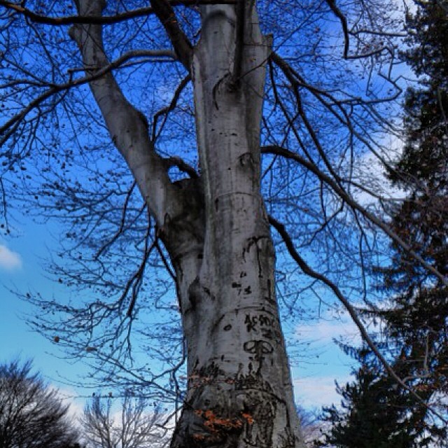 Photo: Mílton Jung, CC BY 2.0 (via Flickr)
Casey Lane Trail
~4 min drive
0.35-mile point-to-point trail in Connecticut with 44 ft gain.
 Photo: Chrisbkes, CC BY 2.0 (via Flickr)
White Trail
~6 min drive
Easy 1.33-mile point-to-point trail in New York.
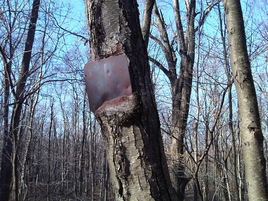 Photo: kschlot1, CC BY 2.0 (via Flickr)
Super Sketchy Blue Moon Trail
~5 min drive
0.67-mile out-and-back trail in New York with 133 ft elevation gain.
HIKE
White Trail
~4 min drive
0.43-mile out-and-back trail in New York with 39 ft gain.
Photo: kschlot1, CC BY 2.0 (via Flickr)Fox Hill Trail
~5 min drive
A 2.72-mile point-to-point trail with scenic views and varied terrain.
HIKE
Blue Trail
~4 min drive
3.77-mile loop in New York with 783 ft gain and 1,401 ft loss.
Photo: kschlot1, CC BY 2.0 (via Flickr)Red Trail
~6 min drive
A 1.73-mile point-to-point trail in New York.
HIKE
White Trail
~7 min drive
A short point-to-point trail under 1 mile in New York.
 Photo: Chrisbkes, CC BY 2.0 (via Flickr)
Leatherman's Loop
~6 min drive
1.22-mile loop in New York with 366 ft of elevation gain.
HIKE
Yellow Trail
~7 min drive
0.68-mile point-to-point hike in New York with 248 ft gain
Also worth it near here
Map and trail data © OpenStreetMap contributors
