Los Pinos Park
Campground
Campground · 8.7 mi from the trail
 Photo: Unknown authorUnknown author or not provided, Public domain (via Wikimedia Commons)
Mount Chalchihuitl is a summit of 6,303 feet in New Mexico, set within Mount Chalchihuitl Open Space on county land about 3 miles from the town of Los Cerrillos. The peak sits at the center of a cluster of trails, and its elevation makes it a natural anchor for a day of hiking in the surrounding area. Spring and fall are the most comfortable times to go. Typical averages from a nearby weather station show May highs around 76°F and October highs around 68°F, while July and August bring highs near 88°F and about 10 wet days a month. Several trails lie within about 10 miles. Canada de la Cueva Trail is about 6 miles away, Main Trail about 7 miles, and La Bajada Trail and Arroyo de los Angeles Trail are both within roughly 9 miles.
Los Pinos Park
Campground
 If it rainsNewMexicophotographer1, CC BY-SA 4.0 · Wikimedia Commons
Places © OpenStreetMap contributors · Photos: NewMexicophotographer1, CC BY-SA 4.0 (commons)
More in Santo Domingo PuebloDaily highs and lows, wind and the chance of precipitation at the summit for the next 7 days, from the Open-Meteo model.
Elevation from USGS 3D Elevation Program terrain data (about 10 m resolution).
We don't know of a mapped trail or route to the summit of Mount Chalchihuitl. Plan the approach with local maps, a guidebook or a local guide, and check conditions before you go.
6,303 ft (1,921 m).
We don't know of a mapped trail or route to the summit. Plan the approach with local maps, a guidebook or a local guide.
 Main TrailHikingPhoto: Paul and Jill, CC BY 2.0 (via Flickr)6.6 mi
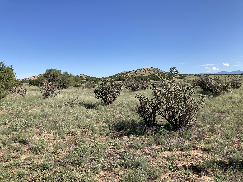 Arroyo de los Angeles TrailHikingPhoto: Paul and Jill, CC BY 2.0 (via Flickr)9.5 miSouth TrailHikingPhoto: Paul and Jill, CC BY 2.0 (via Flickr)9.7 mi
Source: Roamze catalog (indexable pages within 10 miles, PostGIS distance)
 Cerro ColoradoSummit · ~22 min drivePhoto: Kent G. Budge, CC0 (via Wikimedia Commons)
 Glorieta MesaSummit · ~35 min drivePhoto: Patrick Alexander from Las Cruces, NM, CC0 (via Wikimedia Commons)
 Black MesaSummit · ~53 min drivePhoto: User Em-jay-es on en.wikipedia, Public domain (via Wikimedia Commons)
 Cedro PeakSummit · ~54 min drivePhoto: Skoch3, CC BY-SA 3.0 (via Wikimedia Commons)
 Santa Fe BaldySummit · ~55 min drivePhoto: snowpeak, CC BY 2.0 (via Wikimedia Commons)
 Chicoma MountainSummit · ~1h 9m drivePhoto: JerryFriedman, CC BY-SA 3.0 (via Wikimedia Commons)
 Hermit PeakSummit · ~1h 15m drivePhoto: JerryFriedman, CC BY-SA 3.0 (via Wikimedia Commons)
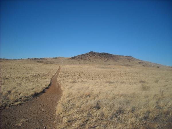 Black VolcanoSummit · ~1h 15m drivePhoto: User:michaelh2001, Public domain (via Wikimedia Commons)
 Cerro BonanzaSummit · ~5 min drivePhoto: John Phelan, CC BY 4.0 (via Wikimedia Commons)
Best months: April–May and September–October. Best months have typical highs of 55–85 °F, lows of 30 °F or warmer (32 °F where the station doesn't record snow), at most one snowy day and no more than 12 wet days.
Jan
44° / 20°
4 wet
Feb
50° / 23°
4 wet
Mar
59° / 28°
5 wet
Apr
66° / 34°
4 wet
May
76° / 43°
4 wet
Jun
87° / 52°
5 wet
Jul
88° / 58°
10 wet
Aug
86° / 56°
10 wet
Sep
80° / 49°
7 wet
Oct
68° / 38°
5 wet
Nov
54° / 27°
4 wet
Dec
44° / 20°
4 wet
Typical high / low (°F) and days with rain or snow, 1991–2020. Measured at Santa Fe Co Muni Ap, NM, 10.2 mi away at 6,344 ft. This station doesn't record snowfall. Source: NOAA NCEI U.S. Climate Normals 1991–2020.
