Campbell Scout Ranch
Campground
Campground · 4.1 mi from the trail
Closure in the area
There's a closure order in Sandia Ranger District. It doesn't name Capulin Peak, so check the source for the area it covers (3 listed).
Area Closure for Recreation Residence Structures and Property at 91 Casa Loma Road
Agency closure covering Sandia Ranger District · Order 03-03-05-26-14 · USFS · Sandia Ranger District
Area Closure for Recreation Residence Structures and Property at 69 Casa Loma Road
Agency closure covering Sandia Ranger District · Order 03-03-05-26-13 · USFS · Sandia Ranger District
Area Closure for Sandia Crest “Switchback” Hazard Tree and Fuel Reduction Project
Agency closure covering Sandia Ranger District · Order 03-03-05-26-02 · USFS · Sandia Ranger District
Sandia Ranger District Road & Area Closure for National Forest Road 462 Maintenance
Agency alert covering Sandia Ranger District · Order 03-03-05-26-24 · USFS · Sandia Ranger District
Mountainair and Sandia Ranger Districts Stage 1 Fire Restriction Lifted
Agency alert covering Sandia Ranger District · Order 03-03-00-26-20 · USFS · Sandia Ranger District
As of · Source: USFS · Sandia Ranger District. Agencies don't list every closure — check before you go.
Capulin Peak is a summit in New Mexico's Cibola National Forest, within the Sandia Ranger District. The closest town is La Madera, about 2 miles away, which makes the peak a short drive from a small community base. The summit sits among a cluster of trails, so it pairs easily with a hike in the immediate area. Routes start within half a mile, and a set of climbing walls lies about a mile off for anyone who wants to add some rock to the day. Closest by is Capulin Canyon Trail, just 0.2 miles away, with Capulin Peak Trail at 0.4 miles and Palomas Peak Trail (66) at half a mile. Climbers will find (06) The Dihedral Wall about 1.1 miles away.
Campbell Scout Ranch
Campground
 If it rainsJim Legans, Jr from Albuquerque, New Mexico, CC BY 2.0 · Wikimedia Commons
Folk art museum in Sandia Park, New Mexico
Places © OpenStreetMap contributors · Photos: Jim Legans, Jr from Albuquerque, New Mexico, CC BY 2.0 (commons)
More in Santo Domingo PuebloDaily highs and lows, wind and the chance of precipitation at the summit and route start for the next 7 days, from the Open-Meteo model.
Elevation from USGS 3D Elevation Program terrain data (about 10 m resolution).
8,934 ft (2,723 m).
One: Capulin Peak Trail.

Source: Roamze catalog (indexable pages within 10 miles, PostGIS distance)
Cedro PeakSummit · ~20 min drivePhoto: Skoch3, CC BY-SA 3.0 (via Wikimedia Commons)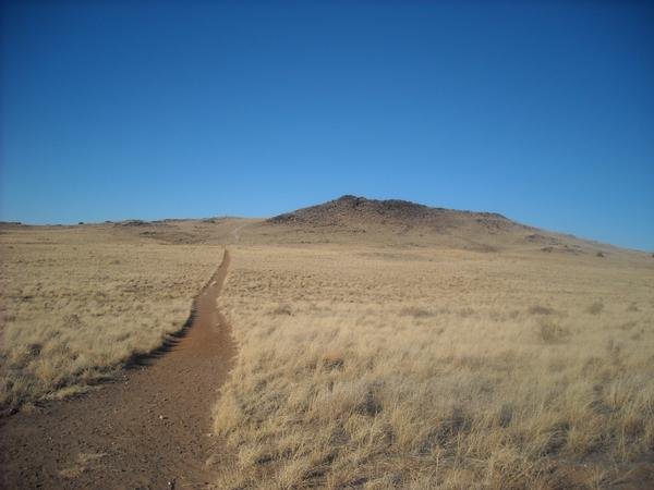 Black VolcanoSummit · ~37 min drivePhoto: User:michaelh2001, Public domain (via Wikimedia Commons)
 Mount ChalchihuitlSummit · ~41 min drivePhoto: Unknown authorUnknown author or not provided, Public domain (via Wikimedia Commons)
 Cerro ColoradoSummit · ~59 min drivePhoto: Kent G. Budge, CC0 (via Wikimedia Commons)
 Glorieta MesaSummit · ~1h 14m drivePhoto: Patrick Alexander from Las Cruces, NM, CC0 (via Wikimedia Commons)
 Cerro BonanzaSummit · ~43 min drivePhoto: John Phelan, CC BY 4.0 (via Wikimedia Commons)

