Tetilla Peak
Campground
Campground · 7.8 mi from the trail
Alert in the area
The Forest Service lists 2 alerts for Santa Fe National Forest.
Road Conditions
Agency alert covering Santa Fe National Forest · USFS · Santa Fe National Forest
Headquarters Well Area Closure on Española Ranger District
Agency alert covering Espanola Ranger District · Order 03-10-06-25-17 · USFS · Espanola Ranger District
As of · Source: USFS · Santa Fe National Forest. Agencies don't list every closure — check before you go.
La Bajada Trail is an easy out-and-back hike of about 3.2 miles in the Espanola Ranger District of Santa Fe National Forest in northern New Mexico. The trail starts at roughly 5,500 feet and climbs to a high point of 6,089 feet, with a total gain of about 937 feet. It is a short, straightforward route that can fit into a half day. The climb is front-loaded, with the steepest stretch around 1.2 miles in, where the grade reaches about 15%. The trail is easy on the legs, and the trip takes about 1.5 hours from start to finish. Spring and fall are the most comfortable times to go. Typical averages from a nearby weather station at Santa Fe show May highs around 76°F and October highs around 68°F, while July and August bring the most wet days and the warmest weather. That station sits a few hundred feet higher than the trail's starting point, so temperatures on the trail may run slightly warmer. Tetilla Peak campground, about 7.8 miles away, is the closest place to camp. Main Trail is a hiking route roughly 7.3 miles off.
Tetilla Peak
Campground
Beer Creek Brewing Company
Restaurant
 If it rainsNewMexicophotographer1, CC BY-SA 4.0 · Wikimedia Commons
Places © OpenStreetMap contributors · Photos: NewMexicophotographer1, CC BY-SA 4.0 (commons)
More in Santo Domingo PuebloNot on Roamze yet. Their page has how to reach them.
 Main TrailHikingPhoto: Paul and Jill, CC BY 2.0 (via Flickr)7.3 mi
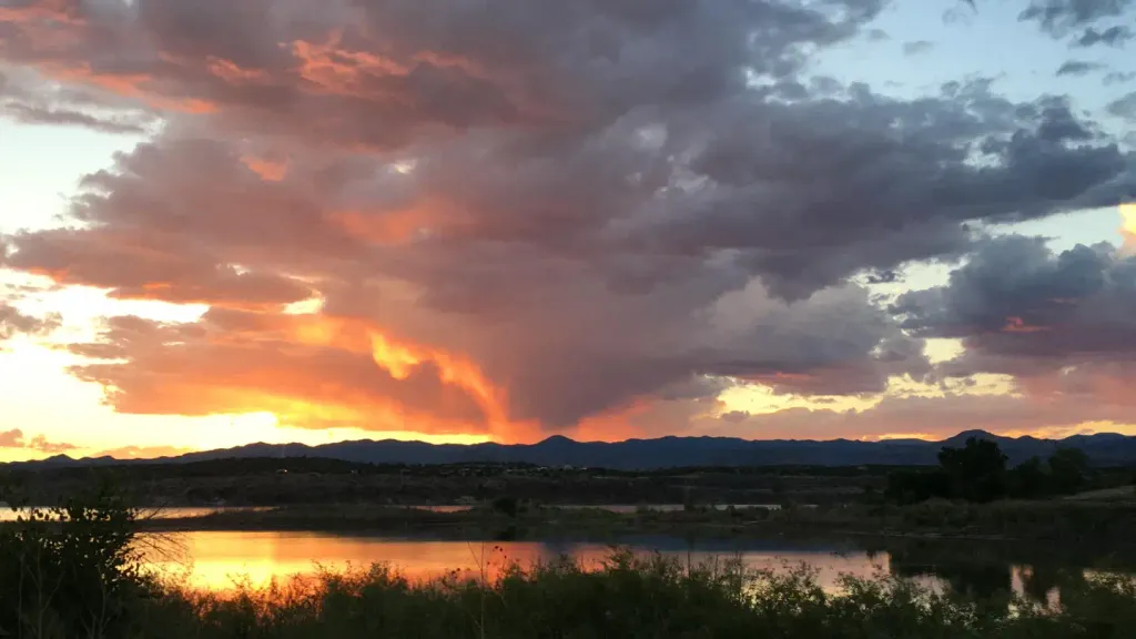 Tetilla PeakCampingPhoto: Recreation.gov (RIDB) / public domain7.8 mi
Source: Roamze catalog (indexable pages within 10 miles, PostGIS distance)
Main TrailHiking · ~12 min drivePhoto: Paul and Jill, CC BY 2.0 (via Flickr) Slot Canyon TrailHiking · ~21 min drivePhoto: Matt Lavin, CC BY-SA 2.0 (via Flickr)
 Cave Loop TrailHiking · ~21 min drivePhoto: Jordan Meeter, CC BY-SA 3.0 (via Wikimedia Commons)
 Ancho CanyonHiking · ~27 min drivePhoto: BFS Man from Webster, TX, USA, CC BY 2.0 (via Wikimedia Commons)
 Spur Trail ConnectorHiking · ~25 min drivePhoto: BFS Man from Webster, TX, USA, CC BY 2.0 (via Wikimedia Commons)
Best months: April–May and September–October. Best months have typical highs of 55–85 °F, lows of 30 °F or warmer (32 °F where the station doesn't record snow), at most one snowy day and no more than 12 wet days.
Jan
44° / 20°
4 wet
Feb
50° / 23°
4 wet
Mar
59° / 28°
5 wet
Apr
66° / 34°
4 wet
May
76° / 43°
4 wet
Jun
87° / 52°
5 wet
Jul
88° / 58°
10 wet
Aug
86° / 56°
10 wet
Sep
80° / 49°
7 wet
Oct
68° / 38°
5 wet
Nov
54° / 27°
4 wet
Dec
44° / 20°
4 wet
Typical high / low (°F) and days with rain or snow, 1991–2020. Measured at Santa Fe Co Muni Ap, NM, 9.2 mi away at 6,344 ft. This station doesn't record snowfall. Source: NOAA NCEI U.S. Climate Normals 1991–2020.
Map and trail data © OpenStreetMap contributors

