Campbell Scout Ranch
Campground
Campground · 4.5 mi from the trail
Closure in the area
There's a closure order in Sandia Ranger District. It doesn't name Capulin, so check the source for the area it covers (3 listed).
Area Closure for Recreation Residence Structures and Property at 91 Casa Loma Road
Agency closure covering Sandia Ranger District · Order 03-03-05-26-14 · USFS · Sandia Ranger District
Area Closure for Recreation Residence Structures and Property at 69 Casa Loma Road
Agency closure covering Sandia Ranger District · Order 03-03-05-26-13 · USFS · Sandia Ranger District
Area Closure for Sandia Crest “Switchback” Hazard Tree and Fuel Reduction Project
Agency closure covering Sandia Ranger District · Order 03-03-05-26-02 · USFS · Sandia Ranger District
Mountainair and Sandia Ranger Districts Stage 1 Fire Restriction Lifted
Agency alert covering Sandia Ranger District · Order 03-03-00-26-20 · USFS · Sandia Ranger District
Mountainair and Sandia Ranger Districts Stage 1 Fire Restriction Order 03-03-00-26-05
Agency alert covering Sandia Ranger District · Order 03-03-00-26-05 · USFS · Sandia Ranger District
As of · Source: USFS · Sandia Ranger District. Agencies don't list every closure — check before you go.
Capulin is an easy hike of about 1.5 miles on natural surface in the Sandia Ranger District of Cibola National Forest in New Mexico, managed by the Forest Service. The trail is an out-and-back that gains about 228 feet, starting at roughly 8,830 feet and reaching about 9,067 feet at the high point. Bikes are allowed, so the route works for hikers and riders alike. The Capulin Peak Trail lies just 0.1 mile away, and the Las Huertas Trail and Challenge Trail are each about 0.3 mile off. Climbers can find The Dihedral Wall about 1.2 miles away.
Campbell Scout Ranch
Campground
 If it rainsJim Legans, Jr from Albuquerque, New Mexico, CC BY 2.0 · Wikimedia Commons
Folk art museum in Sandia Park, New Mexico
Places © OpenStreetMap contributors · Photos: Jim Legans, Jr from Albuquerque, New Mexico, CC BY 2.0 (commons)
More in Santo Domingo PuebloNot on Roamze yet. Their page has how to reach them.
 Photo: BFS Man from Webster, TX, USA, CC BY 2.0 (via Wikimedia Commons)
Overlook Loop
Next door
0.78-mile out-and-back trail in New Mexico with 370 ft elevation gain
Photo: BFS Man from Webster, TX, USA, CC BY 2.0 (via Wikimedia Commons)Las Huertas Trail
Next door
0.7-mile out-and-back hike in New Mexico with 301 ft elevation gain.
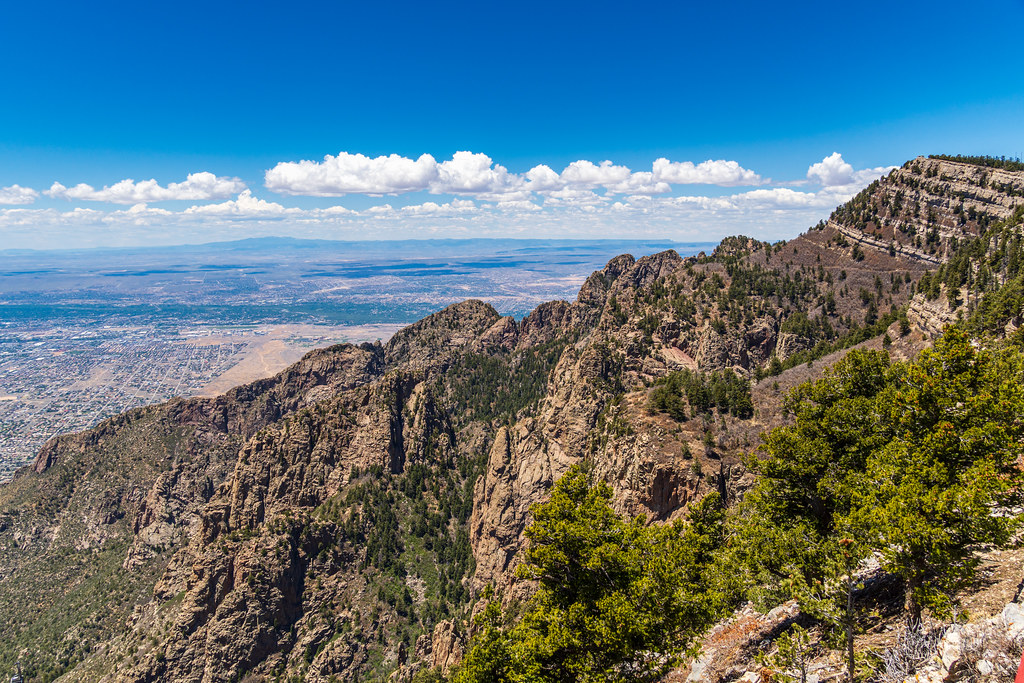 Photo: dconvertini, CC BY-SA 2.0 (via Flickr)
Challenge
~3 min drive
12.69-mile out-and-back trail in New Mexico with 761 ft elevation gain.
 Photo: dconvertini, CC BY-SA 2.0 (via Flickr)
North Crest Trail
~3 min drive
10.50-mile out-and-back trail in New Mexico with 4,148 ft elevation gain.
Photo: BFS Man from Webster, TX, USA, CC BY 2.0 (via Wikimedia Commons)Las Huertas Pg Loop
~2 min drive
1.00-mile out-and-back trail in New Mexico with 273 ft elevation gain.
 Photo: Ktr101, CC BY-SA 2.0 (via Flickr)
Ridge Trail
~1 min drive
1.3-mile out-and-back hike in New Mexico with 578 ft gain and 9,876 ft max elevation.
HIKE
Palomas Peak Trail (66)
~1 min drive
3.12-mile out-and-back hike in New Mexico with 2,151 ft gain/loss
HIKE
King of the Mountain
~1 min drive
15.78-mile out-and-back trail in New Mexico with 2,591 ft elevation gain.
Photo: Ktr101, CC BY-SA 2.0 (via Flickr)Sandia Xc Ski Loop (15) (Groomed)
~3 min drive
1.80-mile out-and-back ski trail in New Mexico with 455 ft elevation gain.
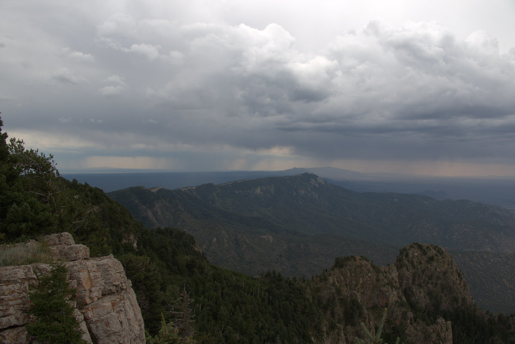 Photo: Ktr101, CC BY-SA 2.0 (via Flickr)
Double Eagle Trail (23)
~2 min drive
1.22-mile out-and-back hike in New Mexico with 292 ft elevation gain.
