Viejo
- 5.5 mi
- round trip
- 793 ft
- climb
- 8,160 ft
- high point
- Out and back
- route
- May–Oct
- best months
Is Viejo open right now?
Alert in the area
The Forest Service lists 2 alerts for Santa Fe National Forest.
Road Conditions
Agency alert covering Santa Fe National Forest · USFS · Santa Fe National Forest
Headquarters Well Area Closure on Española Ranger District
Agency alert covering Espanola Ranger District · Order 03-10-06-25-17 · USFS · Espanola Ranger District
As of · Source: USFS · Santa Fe National Forest. Agencies don't list every closure — check before you go.
Viejo is a hard hike of about 5.5 miles on the Espanola Ranger District of the Santa Fe National Forest in northern New Mexico, managed by the Forest Service. The trail is an out-and-back with a one-way climb of about 790 feet, from a low point of about 7,618 feet to a high of about 8,160 feet. The route is on natural surface, and bikes are allowed. Summer is the most comfortable time to go. Typical averages from the nearby Gascon weather station, at a similar elevation, show July highs around 76°F with lows near 47°F, while winter brings highs in the mid-40s and regular snow days from December through March. Several other hikes sit within a few miles, including Rio En Medio about a mile away and Capulin at about 2.2 miles. For an overnight stay, Aspen Basin campground is about 4 miles off and Big Tesuque is about 4.8 miles away.
Local outfitters
- Taos Mountain Outfitters44 mi away
Not on Roamze yet. Their page has how to reach them.
Best time to go · May–Oct
Best time to visit Viejo
Best months: May–October. Best months have typical highs of 55–85 °F, lows of 30 °F or warmer (32 °F where the station doesn't record snow), at most one snowy day and no more than 12 wet days.
Jan
44° / 18°
5 wet · 5 snow
Feb
45° / 20°
5 wet · 5 snow
Mar
51° / 24°
6 wet · 5 snow
Apr
57° / 29°
6 wet · 3 snow
May
65° / 36°
6 wet · 1 snow
Jun
75° / 43°
7 wet
Jul
76° / 47°
12 wet
Aug
74° / 46°
12 wet
Sep
69° / 41°
7 wet
Oct
61° / 32°
5 wet · 1 snow
Nov
52° / 24°
4 wet · 3 snow
Dec
44° / 18°
4 wet · 4 snow
Typical high / low (°F) and days with rain or snow, 1991–2020. Measured at Gascon, NM, 24.3 mi away at 8,250 ft. Source: NOAA NCEI U.S. Climate Normals 1991–2020.
Keep exploring — more trails worth the drive
 Photo: steveilott, CC BY 2.0 (via Flickr)
Tesuque Creek
~7 min drive
6.96-mile out-and-back trail in New Mexico with 2,987 ft elevation gain.
 Photo: feverblue, CC BY-SA 2.0 (via Flickr)
Winsor Trail (254)
~7 min drive
8.64-mile out-and-back trail in New Mexico with 3,063 ft elevation gain and loss.
 Photo: Bryan Ungard from Santa Fe, New Mexico, USA, CC BY-SA 2.0 (via Wikimedia Commons)
Lower Nambe
~7 min drive
3.08-mile out-and-back trail in New Mexico with 160 ft elevation gain.
Photo: steveilott, CC BY 2.0 (via Flickr)Windsor Trail (254)
~7 min drive
1.62-mile out-and-back trail in New Mexico with 388 ft elevation gain/loss
 Photo: Bryan Ungard from Santa Fe, New Mexico, USA, CC BY-SA 2.0 (via Wikimedia Commons)
Ravens Ridge
~10 min drive
4.18-mile out-and-back trail in New Mexico with 1,815 ft elevation gain
Photo: Bryan Ungard from Santa Fe, New Mexico, USA, CC BY-SA 2.0 (via Wikimedia Commons)Winsor Trail (254)
~8 min drive
6.74-mile out-and-back trail in New Mexico with 3,252 ft elevation gain and loss.
Photo: Bryan Ungard from Santa Fe, New Mexico, USA, CC BY-SA 2.0 (via Wikimedia Commons)Nambe Lake
~8 min drive
2.12-mile out-and-back trail to Nambe Lake in New Mexico with 993 ft gain.
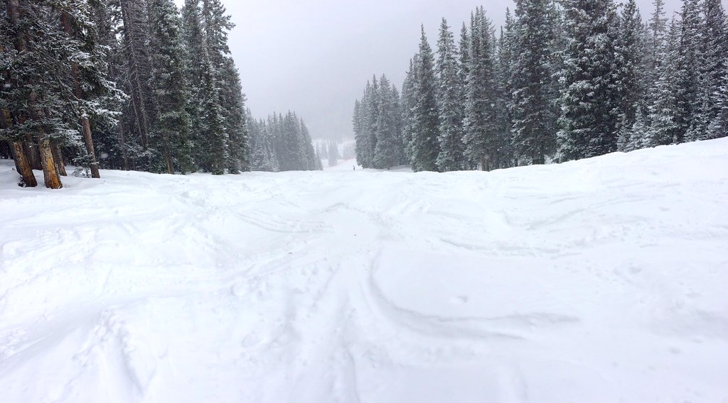 Photo: feverblue, CC BY-SA 2.0 (via Flickr)
Tesuque Creek Trail (152)
~8 min drive
0.80-mile out-and-back trail with 157 ft gain in New Mexico.
HIKE
Rio En Medio
~2 min drive
Strenuous canyon creek trail with significant elevation gain near Santa Fe.
HIKE
Capulin Trail (158)
~6 min drive
20.38-mile out-and-back trail in New Mexico with 4,708 ft elevation gain/loss.
