Rio En Medio
- 13.1 mi
- round trip
- 2,836 ft
- climb
- 10,159 ft
- high point
- Out and back
- route
Is Rio En Medio open right now?
Alert in the area
The Forest Service lists 2 alerts for Santa Fe National Forest.
Road Conditions
Agency alert covering Santa Fe National Forest · USFS · Santa Fe National Forest
Headquarters Well Area Closure on Española Ranger District
Agency alert covering Espanola Ranger District · Order 03-10-06-25-17 · USFS · Espanola Ranger District
As of · Source: USFS · Santa Fe National Forest. Agencies don't list every closure — check before you go.
Rio En Medio is a hard hike in the Espanola Ranger District of the Santa Fe National Forest in northern New Mexico. The route is an out-and-back of about 13 miles, with a total elevation gain of about 2,800 feet, from a low point of about 7,200 feet to a high of about 10,160 feet. The trail is natural-surface and allows both horses and bikes, according to the USDA Forest Service's trail records. That makes it a versatile route for riders and pack animals as well as hikers. Several other trails sit close by. Viejo is about a mile away, and Rio Nambe and the Rio Nambe Trail (160) are each about 2.3 miles off. For an overnight base, Aspen Basin campground is about 5 miles away.
Local outfitters
- Taos Mountain Outfitters44 mi away
Not on Roamze yet. Their page has how to reach them.
- ViejoHiking1.2 mi
- Rio Nambe Trail (160)Hiking2.3 mi
- Rio NambeHiking2.3 mi
- CapulinHiking3 mi
- Aspen BasinCamping5.1 mi
- Big TesuqueCamping5.8 mi
- Black Canyon (New)CgCamping7.2 mi
- Santa Fe AreaRock climbing10 mi
Source: Roamze catalog (indexable pages within 10 miles, PostGIS distance)
 Tesuque CreekHiking · ~8 min drivePhoto: steveilott, CC BY 2.0 (via Flickr)
- Windsor Trail (254)Hiking · ~9 min drivePhoto: steveilott, CC BY 2.0 (via Flickr)
 Winsor Trail (254)Hiking · ~9 min drivePhoto: feverblue, CC BY-SA 2.0 (via Flickr)
 Nambe LakeHiking · ~10 min drivePhoto: Bryan Ungard from Santa Fe, New Mexico, USA, CC BY-SA 2.0 (via Wikimedia Commons)
- Ravens RidgeHiking · ~12 min drivePhoto: Bryan Ungard from Santa Fe, New Mexico, USA, CC BY-SA 2.0 (via Wikimedia Commons)
 Norski Trail (255)Hiking · ~9 min drivePhoto: feverblue, CC BY-SA 2.0 (via Flickr)
- Winsor Trail (254)Hiking · ~10 min drivePhoto: Bryan Ungard from Santa Fe, New Mexico, USA, CC BY-SA 2.0 (via Wikimedia Commons)
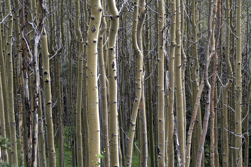 Galbaldon TrailHiking · ~10 min drivePhoto: awsheffield, CC BY 2.0 (via Flickr)
- ScoutHiking · ~9 min drive
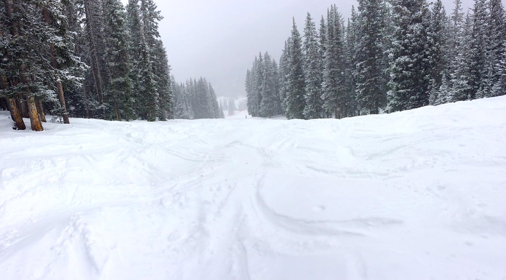 Tesuque Creek Trail (152)Hiking · ~10 min drivePhoto: feverblue, CC BY-SA 2.0 (via Flickr)
