Valle Largo
- 12.0 mi
- round trip
- 2,393 ft
- climb
- 11,069 ft
- high point
- Out and back
- route
Is Valle Largo open right now?
Alert in the area
The Forest Service lists 3 alerts for Santa Fe National Forest.
Road Conditions
Agency alert covering Santa Fe National Forest · USFS · Santa Fe National Forest
Campground and Equestrian Area Closure for Field Tract and Jacks Creek
Agency alert covering Pecos-Las Vegas Ranger District · Order 03-10-05-26-12 · USFS · Pecos-Las Vegas Ranger District
Temporary area, road, and trail closures for Hermits Peak and Calf Canyon post-fire impacts
Agency alert covering Pecos-Las Vegas Ranger District · Order 03-10-05-26-05 · USFS · Pecos-Las Vegas Ranger District
As of · Source: USFS · Santa Fe National Forest. Agencies don't list every closure — check before you go.
Valle Largo is a hard hike in the Pecos Wilderness, part of the Pecos-Las Vegas Ranger District of the Santa Fe National Forest in northern New Mexico. The trail is about 12 miles long, with a one-way elevation gain of 2,393 feet, and it rises from a low point of about 8,740 feet to a high of about 11,069 feet. The route is an out-and-back on natural surface, and horses are allowed. The Forest Service manages the land. Iron Gate campground sits less than a mile away, and the Rociada Trail (250) and Valle Medio are both within about 1.5 miles. For an overnight base, Jacks Creek campground is about 2 miles off.
Local outfitters
- Taos Mountain Outfitters40 mi away
Not on Roamze yet. Their page has how to reach them.
Keep exploring — more trails worth the drive
 Photo: feverblue, CC BY-SA 2.0 (via Flickr)
Lake Johnson
~10 min drive
3.50-mile out-and-back trail to Lake Johnson in New Mexico with 947 ft of elevation gain.
Photo: feverblue, CC BY-SA 2.0 (via Flickr)Stewart Lake
~10 min drive
0.74-mile out-and-back trail to Stewart Lake in New Mexico with 82 ft of elevation gain.
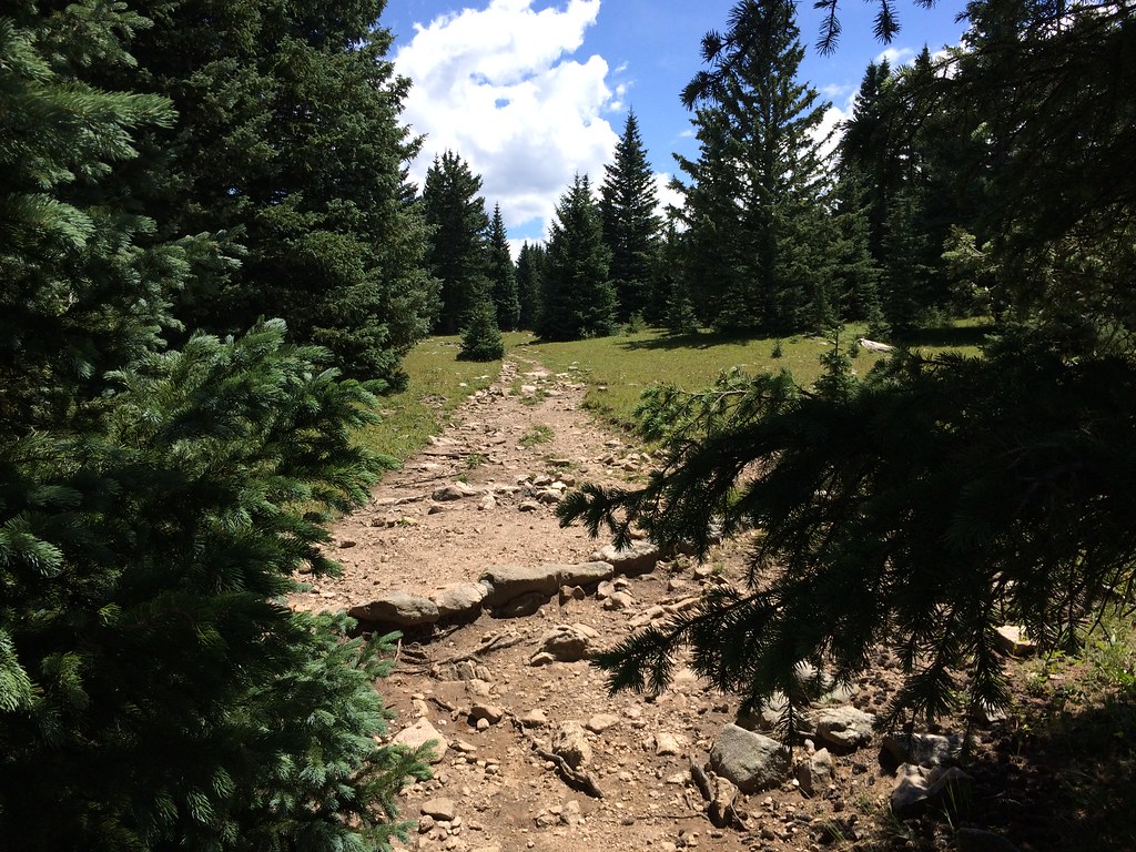 Photo: feverblue, CC BY-SA 2.0 (via Flickr)
Skyline Trail (251)
~13 min drive
3.52-mile out-and-back hike in New Mexico with 1,776 ft elevation gain.
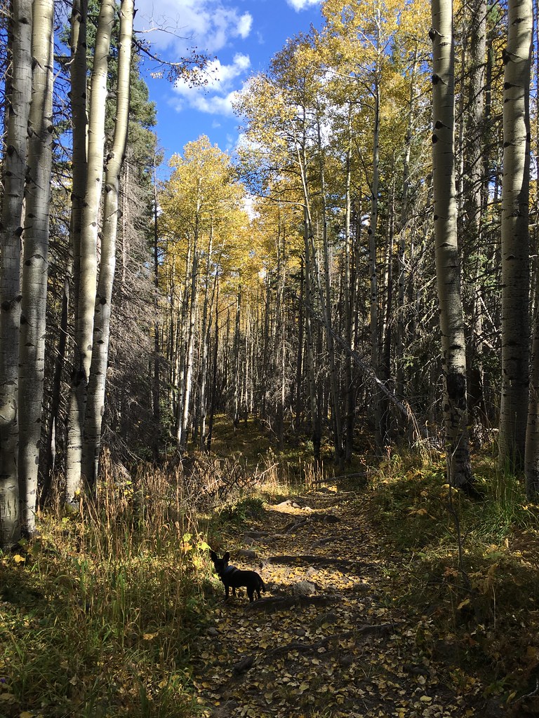 Photo: feverblue, CC BY-SA 2.0 (via Flickr)
Winsor Trail (254)
~9 min drive
12.86-mile out-and-back hike in New Mexico with 3,574 ft elevation gain and loss.
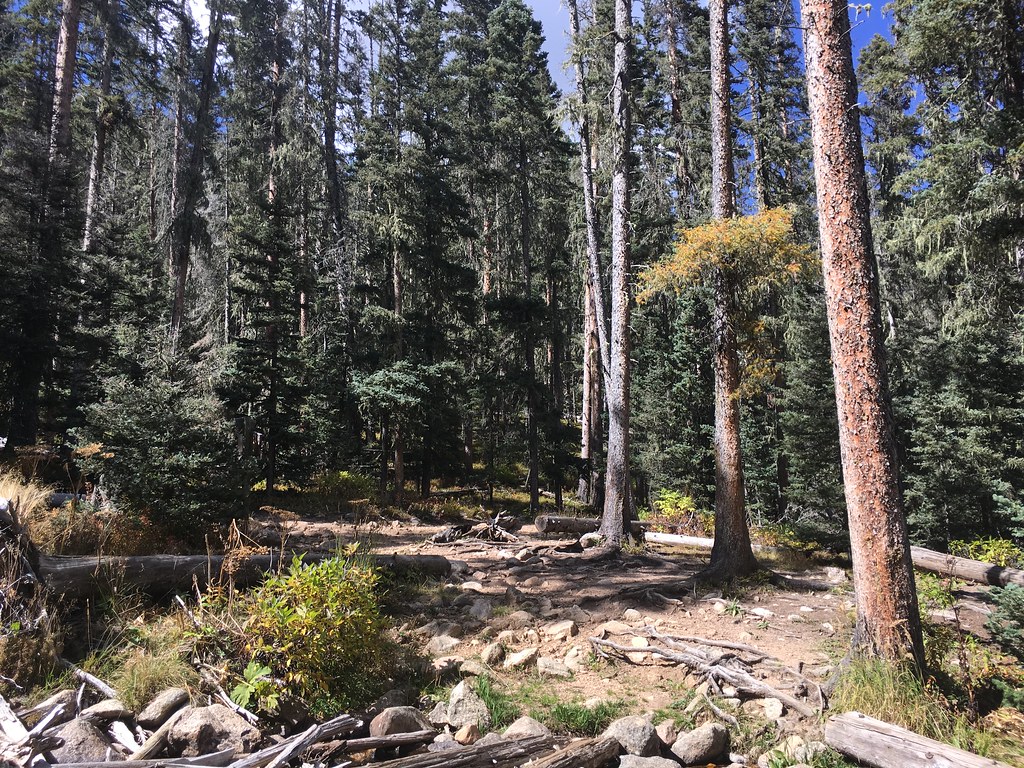 Photo: feverblue, CC BY-SA 2.0 (via Flickr)
Lake Katherine
~11 min drive
3.65-mile out-and-back trail to Lake Katherine in New Mexico with 1,320 ft elevation gain.
Photo: feverblue, CC BY-SA 2.0 (via Flickr)Winsor Trail (254)
~10 min drive
0.66-mile out-and-back hike in New Mexico with 458 ft of elevation gain.
HIKE
Valle Medio
~3 min drive
Moderate 6.39-mile valley hike with 1,310 ft gain in central New Mexico.
HIKE
Rociada Trail (250)
~2 min drive
13.6-mile out-and-back hike in New Mexico with 3,602 ft elevation gain/loss.
 Photo: otaghiking, CC BY-SA 2.0 (via Flickr)
Redondo Peak Route
~13 min drive
4.56-mile out-and-back trail in New Mexico with 2,439 ft elevation gain and loss.
Photo: feverblue, CC BY-SA 2.0 (via Flickr)Winsor Trail (254)
~14 min drive
0.46-mile out-and-back trail in New Mexico with 166 ft of elevation gain.

