Lake Katherine
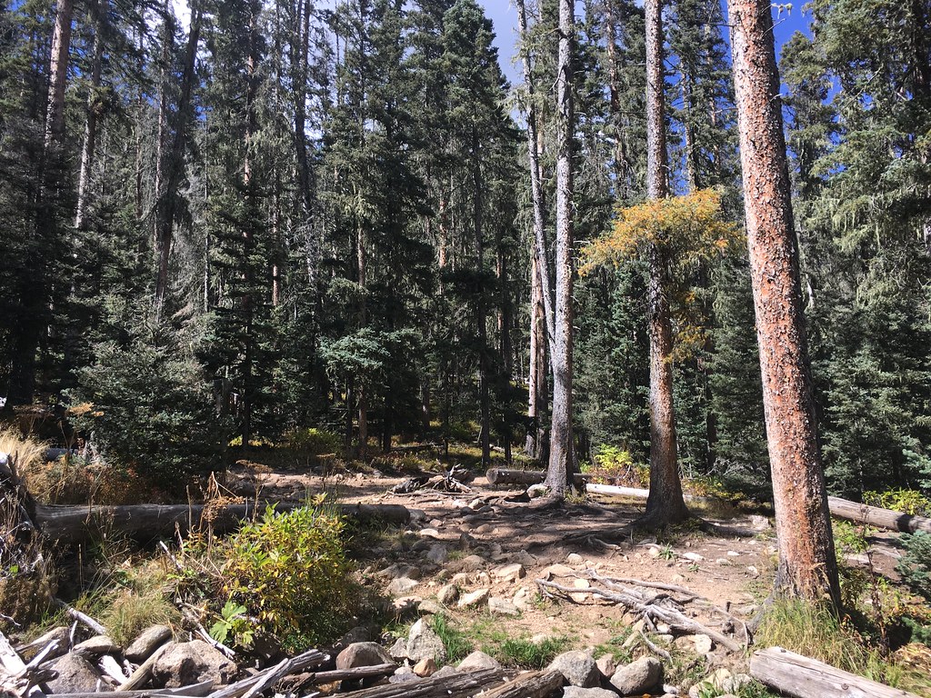 Photo: feverblue, CC BY-SA 2.0 (via Flickr)
- 3.7 mi
- round trip
- 1,135 ft
- climb
- 11,744 ft
- high point
- Out and back
- route
Is Lake Katherine open right now?
Alert in the area
The Forest Service lists 3 alerts for Santa Fe National Forest.
Road Conditions
Agency alert covering Santa Fe National Forest · USFS · Santa Fe National Forest
Campground and Equestrian Area Closure for Field Tract and Jacks Creek
Agency alert covering Pecos-Las Vegas Ranger District · Order 03-10-05-26-12 · USFS · Pecos-Las Vegas Ranger District
Temporary area, road, and trail closures for Hermits Peak and Calf Canyon post-fire impacts
Agency alert covering Pecos-Las Vegas Ranger District · Order 03-10-05-26-05 · USFS · Pecos-Las Vegas Ranger District
As of · Source: USFS · Santa Fe National Forest. Agencies don't list every closure — check before you go.
Lake Katherine is a moderate out-and-back hike in the Pecos Wilderness, part of the Pecos-Las Vegas Ranger District of the Santa Fe National Forest in northern New Mexico. The trail is about 3.7 miles long, with an elevation gain of 1,135 feet, taking you from a low point of about 10,600 feet to a high of about 11,740 feet. The route is on natural surface, and horses are allowed. Bikes are not. The Forest Service manages the land, and the trail lies within designated wilderness. The most comfortable stretch for a visit is typically June through September, when the open season runs from June 1 to September 30. Plan for a full day, and consider the weather station at the trail's lower end as a guide for typical averages. The Winsor Trail (254) and Stewart Lake are both within a mile. Holy Ghost Campground and Panchuela are about 4 miles away.
Local outfitters
- Taos Mountain Outfitters41 mi away
Not on Roamze yet. Their page has how to reach them.
- Winsor Trail (254)HikingPhoto: feverblue, CC BY-SA 2.0 (via Flickr)0.5 mi
 Stewart LakeHikingPhoto: feverblue, CC BY-SA 2.0 (via Flickr)0.8 mi
- Holy Ghost GcgCamping3.9 mi
- PanchuelaCamping4 mi
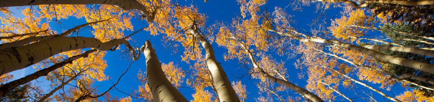 Jacks Creek Group AreaRiver fishing4.6 mi
- Pecos RiverRiver fishing5.5 mi
- The BleachersRock climbing8.9 mi
- Cathedral RockRock climbing8.9 mi
Source: Roamze catalog (indexable pages within 10 miles, PostGIS distance)
- Winsor Trail (254)Hiking · Next doorPhoto: feverblue, CC BY-SA 2.0 (via Flickr)
 Redondo Peak RouteHiking · ~2 min drivePhoto: otaghiking, CC BY-SA 2.0 (via Flickr)
 Ravens RidgeHiking · ~5 min drivePhoto: Bryan Ungard from Santa Fe, New Mexico, USA, CC BY-SA 2.0 (via Wikimedia Commons)
 Winsor Trail (254)Hiking · ~8 min drivePhoto: feverblue, CC BY-SA 2.0 (via Flickr)
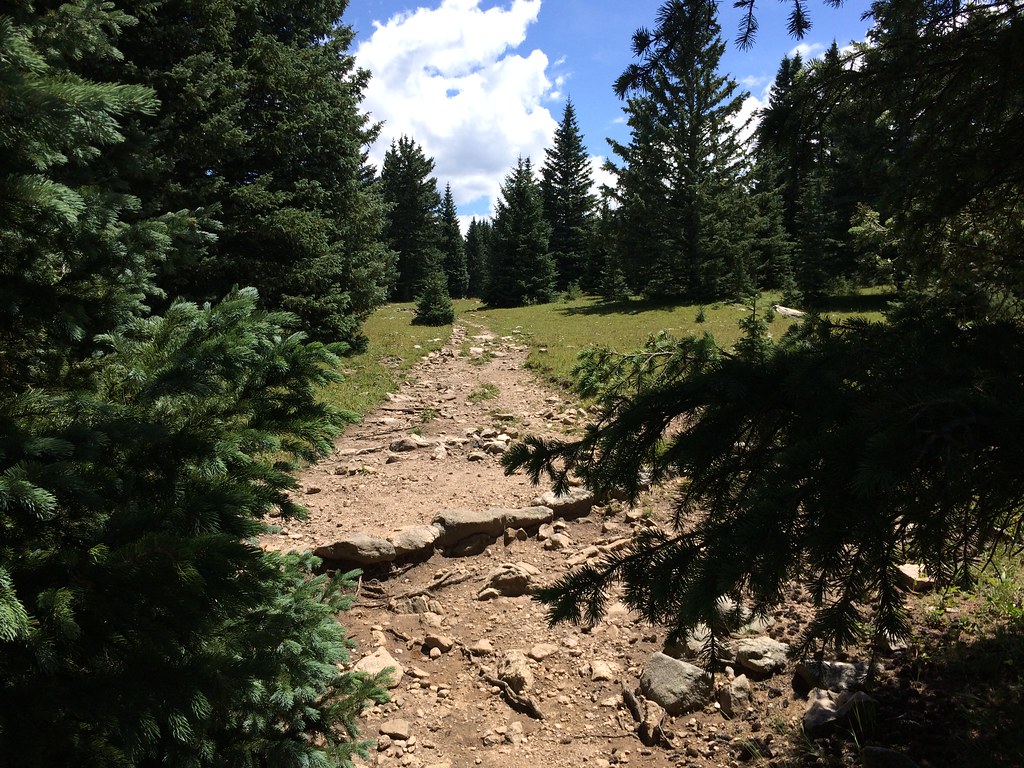 Winsor Trail (254)Hiking · ~3 min drivePhoto: feverblue, CC BY-SA 2.0 (via Flickr)
- Baldy TrailHiking · ~2 min drivePhoto: otaghiking, CC BY-SA 2.0 (via Flickr)
- Skyline Trail (251)Hiking · ~2 min drivePhoto: feverblue, CC BY-SA 2.0 (via Flickr)
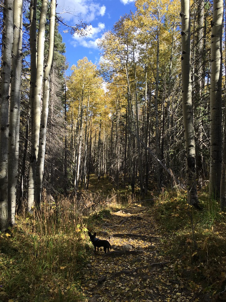 Winsor Trail (254)Hiking · ~3 min drivePhoto: feverblue, CC BY-SA 2.0 (via Flickr)
 Upper NambeHiking · ~5 min drivePhoto: Bryan Ungard from Santa Fe, New Mexico, USA, CC BY-SA 2.0 (via Wikimedia Commons)
- Lake JohnsonHiking · ~3 min drivePhoto: feverblue, CC BY-SA 2.0 (via Flickr)
Also worth it near here


