Rociada Trail (250)
- 6.8 mi
- round trip
- 3,602 ft
- climb
- 11,301 ft
- high point
- Out and back
- route
Is Rociada Trail (250) open right now?
Alert in the area
The Forest Service lists 3 alerts for Santa Fe National Forest.
Road Conditions
Agency alert covering Santa Fe National Forest · USFS · Santa Fe National Forest
Campground and Equestrian Area Closure for Field Tract and Jacks Creek
Agency alert covering Pecos-Las Vegas Ranger District · Order 03-10-05-26-12 · USFS · Pecos-Las Vegas Ranger District
Temporary area, road, and trail closures for Hermits Peak and Calf Canyon post-fire impacts
Agency alert covering Pecos-Las Vegas Ranger District · Order 03-10-05-26-05 · USFS · Pecos-Las Vegas Ranger District
As of · Source: USFS · Santa Fe National Forest. Agencies don't list every closure — check before you go.
Rociada Trail (250) is a 6.8-mile moderate hike in the Pecos Wilderness, part of the Pecos-Las Vegas Ranger District of the Santa Fe National Forest in northern New Mexico. The Forest Service manages the land, and the trail is an out-and-back that covers about 13.6 miles round trip, with a total elevation gain of 3,602 feet. The route starts at about 9,556 feet and climbs steadily to a high point of 11,301 feet. The steepest stretch comes at about 5.5 miles, where the grade reaches 27 percent. The trail's low point is 9,252 feet, and the climb is roughly balanced by the descent. Iron Gate campground sits just 0.7 miles away, and the Valle Largo and Esteros hikes are both within about 1.5 miles. Panchuela campground is about 3.2 miles off.
Local outfitters
- Taos Mountain Outfitters39 mi away
Not on Roamze yet. Their page has how to reach them.
- Iron GateCamping0.7 mi
- Valle LargoHiking1.4 mi
- EsterosHiking1.5 mi
- Jacks CreekHiking2.4 mi
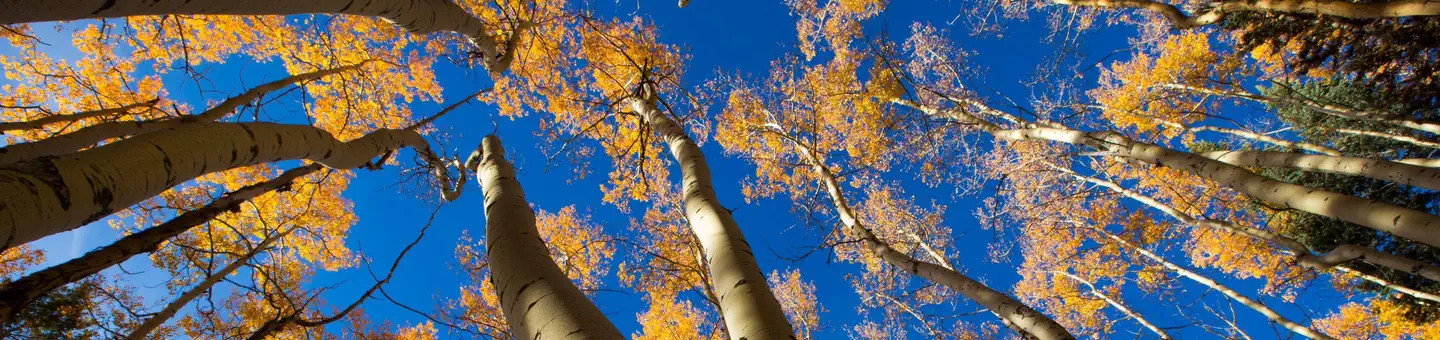 Jacks Creek Group AreaRiver fishing2.5 mi
- Beattys Trail Horse Bypass (25)Hiking2.6 mi
- PanchuelaCamping3.2 mi
- CowlesCamping3.8 mi
Source: Roamze catalog (indexable pages within 10 miles, PostGIS distance)
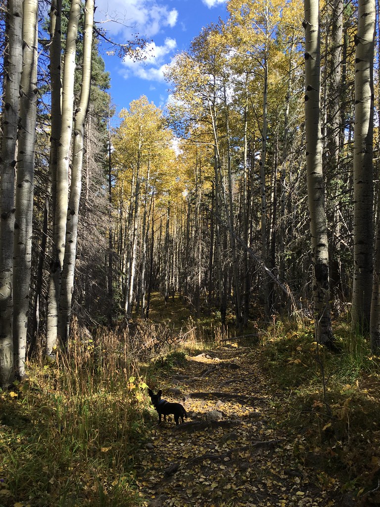 Winsor Trail (254)Hiking · ~10 min drivePhoto: feverblue, CC BY-SA 2.0 (via Flickr)
 Lake JohnsonHiking · ~11 min drivePhoto: feverblue, CC BY-SA 2.0 (via Flickr)
- Stewart LakeHiking · ~11 min drivePhoto: feverblue, CC BY-SA 2.0 (via Flickr)
- Valle LargoHiking · ~2 min drive
- Skyline Trail (251)Hiking · ~10 min drive
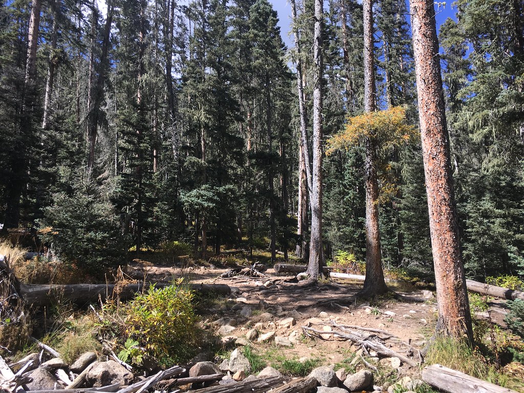 Lake KatherineHiking · ~12 min drivePhoto: feverblue, CC BY-SA 2.0 (via Flickr)
- Winsor Trail (254)Hiking · ~11 min drivePhoto: feverblue, CC BY-SA 2.0 (via Flickr)
- EsterosHiking · ~3 min drive
- Beattys Trail Horse Bypass (25)Hiking · ~4 min drive
- Pecos RiverHiking · ~6 min drive
Map and trail data © OpenStreetMap contributors
