Loading…

Free — you'll pick up right here.
Watch this trail
Sign up to watch it — saving subscribes you to gate, closure and report changes.
New Mexico
9.7 mi
Distance
1,391 ft
Gain
We won't guess. Here is exactly what we do and don't know.
What we do know
Inside Santa Fe National Forest
2 managing-area boundaries mapped — agency alerts for them feed this page automatically.
Boundary data
What's missing
No access route mapped
We don't yet know which road reaches this trailhead, so we can't tell you if it's gated.
Nobody's filed a report here yet — be the first.
Why you'll love it
Rio Cebolla
AI-suggested draft · review before you go
No permit or access details on file for this trail — check with the local land manager before you go.
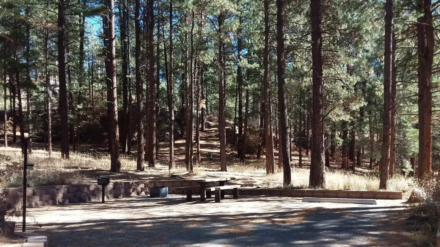
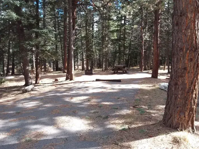
Rio Cebolla is a moderate 9.71-mile trail offering a rewarding journey through the scenic Jemez Mountains region of north-central New Mexico. The trail follows the Rio Cebolla creek drainage, featuring riparian forest, ponderosa pine stands, and mountain meadows with approximately 1,391 feet of elevation gain. This is an excellent choice for hikers seeking a half-day adventure with reliable water access and diverse forest ecosystems.
Saddle Shed
~18 min drive
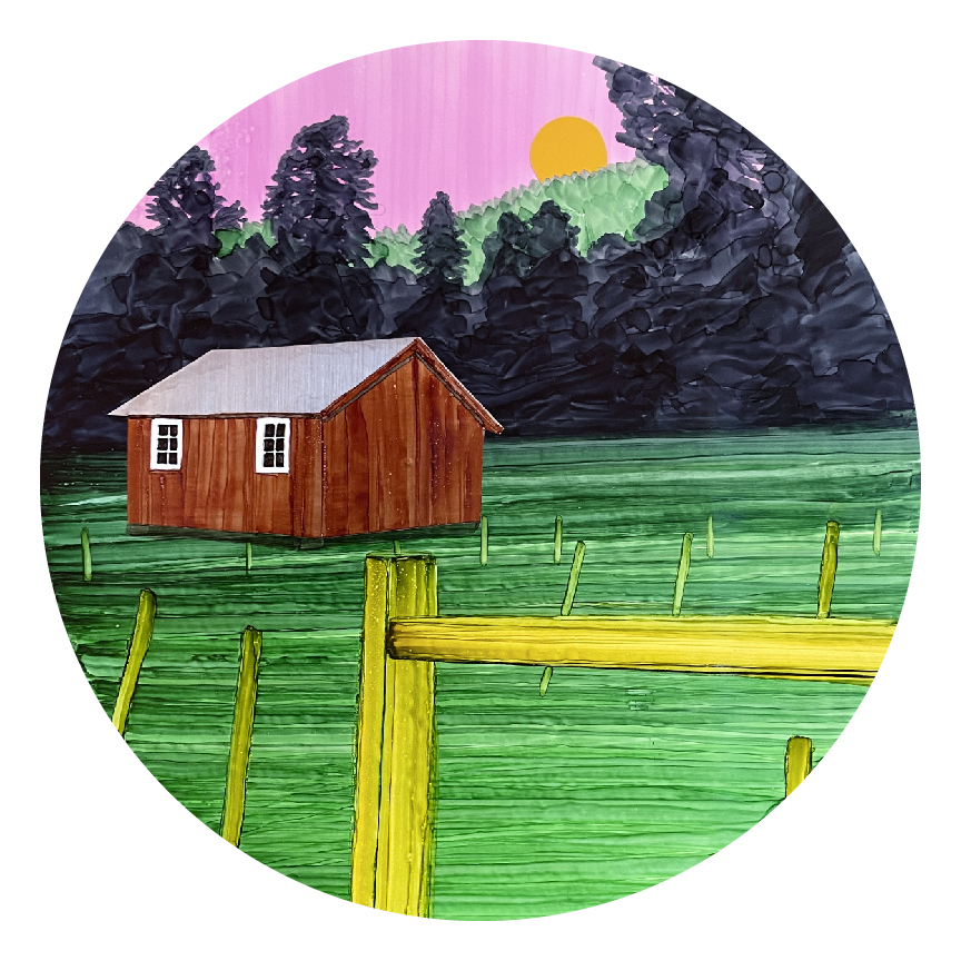
The saddle shed, also known as the tack shed, was built in 1963 to serve ranch operations. Ranch hands started their days here, grooming their horses and saddling up before sunrise. They would ride up to 20 miles a day, checking on livestock, inspecting fences, and tending to…
East Fork
~13 min drive
Challenging 18.57-mile backcountry route with 2,395 ft elevation gain.
Palomas
~18 min drive
Moderate 5.5-mile desert hike with 711 ft elevation gain near Palomas, NM.
North East Fork
~22 min drive
Easy 1.14-mile walk with minimal elevation gain near North East Fork.
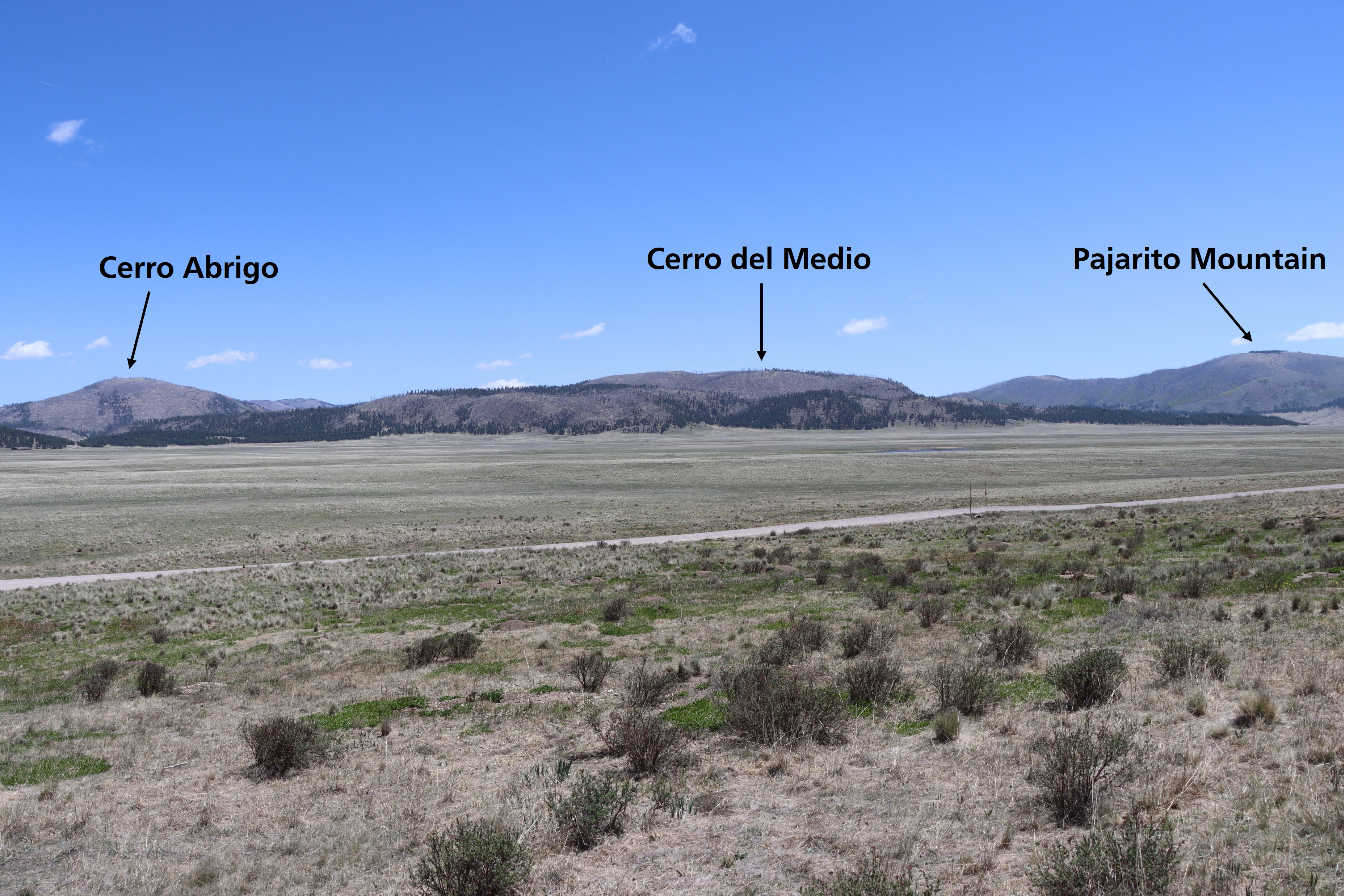
Cerro La Jara Stop 7
~20 min drive
Look northward across the road. The broad valley is Valle Grande. A lake filled this valley several times in the past. If the lighting is right, you will be able to see low, flat lying ridges at the base of the mountains in the distance. These ridges are sediments that were de…
Rio Puerco
~19 min drive
Easy 2-mile riverside walk through New Mexico's scenic Rio Puerco valley.
Damian
~20 min drive
Scenic 4.71-mile New Mexico trail with 747 ft elevation gain and accessible hiking.
Mesa Del Medio
~27 min drive
Easy mesa-top hike with high desert views and minimal elevation gain.
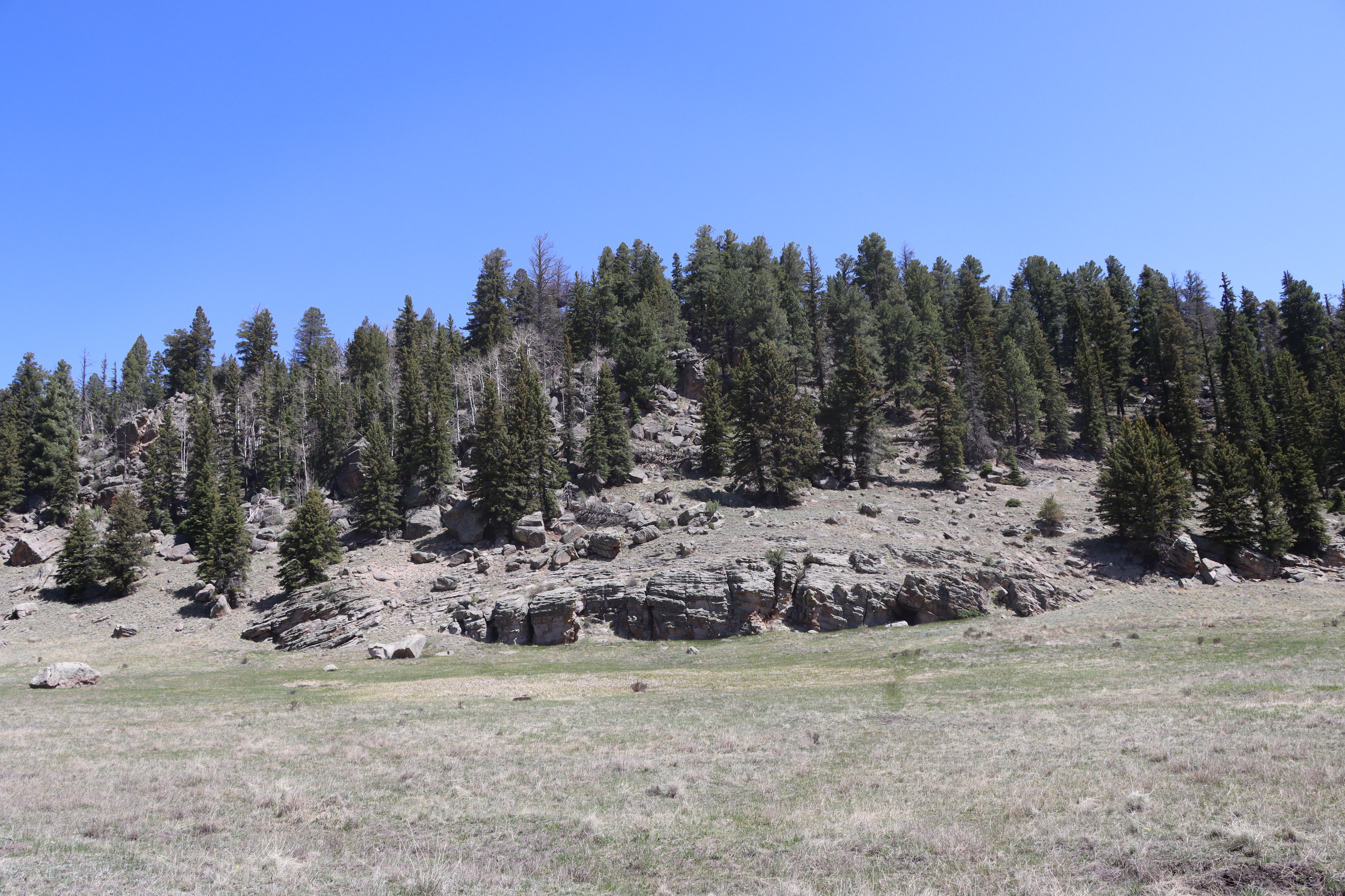
Cerro La Jara Stop 6
~20 min drive
So far, you have learned that about 1.2 million years ago, a giant volcanic eruption occurred and created Valles Caldera when the roof of the empty magma chamber collapsed. The material that was erupted (called the Bandelier Tuff) was deposited inside the new hole in the groun…
Upper Clear Creek
~22 min drive
Moderate creek-side hike with steady elevation gain and reliable water access.