Redondito Trail
- 6.7 mi
- round trip
- 959 ft
- climb
- Out and back
- route
- Hard
- difficulty
- May–Jun, Sep
- best months
Is Redondito Trail open right now?
No closures listed
The National Park Service lists no closures for Valles Caldera National Preserve.
As of · Source: NPS · Valles Caldera National Preserve. Agencies don't list every closure — check before you go.
Redondito Trail is a 13.44-mile out-and-back hike in New Mexico managed by the National Park Service. The trail gains 959 feet of elevation.
- Nearby · Saddle Shed · Cerro La Jara Trail · Coyote Call Trail
Best time to go · May–Jun, Sep
Best time to visit Redondito Trail
Best months: May–June and September. Best months have typical highs of 55–85 °F, lows of 30 °F or warmer (32 °F where the station doesn't record snow), at most one snowy day and no more than 12 wet days.
Jan
36° / 9°
9 wet
Feb
38° / 12°
9 wet
Mar
44° / 20°
9 wet
Apr
52° / 25°
8 wet
May
62° / 32°
8 wet
Jun
72° / 39°
8 wet
Jul
74° / 45°
15 wet
Aug
71° / 43°
15 wet
Sep
66° / 35°
11 wet
Oct
57° / 26°
7 wet
Nov
45° / 17°
6 wet
Dec
36° / 9°
9 wet
Typical high / low (°F) and days with rain or snow, 1991–2020. Measured at Los Alamos 13 W, NM, 3.4 mi away at 8,716 ft. We don't have this place's elevation, so higher spots nearby can run cooler. This station doesn't record snowfall. Source: NOAA NCEI U.S. Climate Normals 1991–2020.
Keep exploring — more trails worth the drive
HIKE
Saddle Shed
~6 min drive
The saddle shed, also known as the tack shed, was built in 1963 to serve ranch operations. Ranch hands started their days here, grooming their horses and saddling up before sunrise. They would ride up to 20 miles a day, checking on livestock, inspecting fences, and tending to…
 Photo: Ken Lund from Reno, Nevada, USA, CC BY-SA 2.0 (via Wikimedia Commons)
Cerro La Jara Trail
~8 min drive
1.33-mile loop in New Mexico with 169 ft gain and 8,601 ft max elevation.
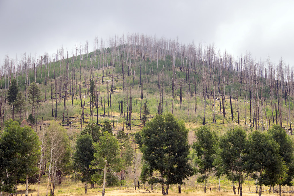 Photo: Paul and Jill, CC BY 2.0 (via Flickr)
Coyote Call Trail
~11 min drive
2.86-mile loop trail in New Mexico with 1,009 ft gain and 9,237 ft max elevation.
 Photo: RuggyBearLA, CC BY 2.0 (via Flickr)
East Fork
~11 min drive
18.57-mile out-and-back trail in New Mexico with 2,395 ft elevation gain.
HIKE
Abrigo Trail
~8 min drive
11.86-mile out-and-back hike in New Mexico with 4,633 ft gain/loss
HIKE
Cerro La Jara Stop 7
~8 min drive
Look northward across the road. The broad valley is Valle Grande. A lake filled this valley several times in the past. If the lighting is right, you will be able to see low, flat lying ridges at the base of the mountains in the distance. These ridges are sediments that were de…
 Photo: cogdogblog, CC0 (via Wikimedia Commons)
Pond Trail
~8 min drive
0.41-mile lollipop trail in New Mexico with 4 ft elevation gain.
HIKE
Alamo Canyon Trail
~5 min drive
6.06-mile out-and-back hike in New Mexico with 1,692 ft gain/loss.
HIKE
Cerro de la Garita Trail
~10 min drive
7.38-mile out-and-back hike in New Mexico with 1,814 ft gain.
HIKE
Backcountry Driving Route
~9 min drive
45.36-mile out-and-back trail in New Mexico with 1,024 ft elevation gain.

