Saddle Shed
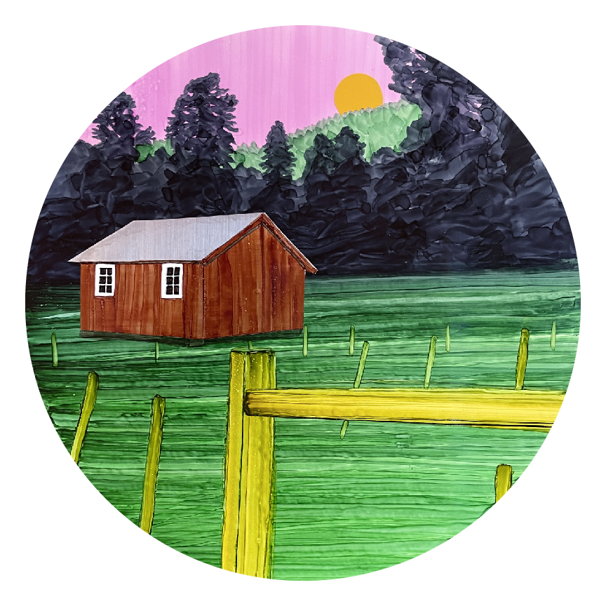 Photo: NPS/Heather Heckel
- May–Jun, Sep
- best months
Is Saddle Shed open right now?
No closures listed
The National Park Service lists no closures for Valles Caldera National Preserve.
As of · Source: NPS · Valles Caldera National Preserve. Agencies don't list every closure — check before you go.
Saddle Shed is a hike in Valles Caldera National Preserve in northern New Mexico, managed by the National Park Service. The preserve's boundaries and the surrounding land make it a destination within the national preserve rather than a separate unit. A fee is charged for the visit, so plan on paying before you go. The most comfortable months for a trip are typically June and September, when typical averages from a nearby weather station run from highs around 72°F in June to about 66°F in September. July and August bring the most wet days, about 15 a month, and winter highs stay in the mid-30s. Several other outings sit close by. Cerro La Jara Stop 6, 7 and 8 are each about 1.4 miles away, and the climbing areas at Cragacito and The Amphitheater are within about 3 miles. Jemez Falls Campground is roughly 5.9 miles off.
Best time to go · May–Jun, Sep
Best time to visit Saddle Shed
Best months: May–June and September. Best months have typical highs of 55–85 °F, lows of 30 °F or warmer (32 °F where the station doesn't record snow), at most one snowy day and no more than 12 wet days.
Jan
36° / 9°
9 wet
Feb
38° / 12°
9 wet
Mar
44° / 20°
9 wet
Apr
52° / 25°
8 wet
May
62° / 32°
8 wet
Jun
72° / 39°
8 wet
Jul
74° / 45°
15 wet
Aug
71° / 43°
15 wet
Sep
66° / 35°
11 wet
Oct
57° / 26°
7 wet
Nov
45° / 17°
6 wet
Dec
36° / 9°
9 wet
Typical high / low (°F) and days with rain or snow, 1991–2020. Measured at Los Alamos 13 W, NM, 0.4 mi away at 8,716 ft. This station doesn't record snowfall. Source: NOAA NCEI U.S. Climate Normals 1991–2020.
Keep exploring — more trails worth the drive
HIKE
Cerro La Jara Stop 7
~2 min drive
Look northward across the road. The broad valley is Valle Grande. A lake filled this valley several times in the past. If the lighting is right, you will be able to see low, flat lying ridges at the base of the mountains in the distance. These ridges are sediments that were de…
 Photo: Ken Lund from Reno, Nevada, USA, CC BY-SA 2.0 (via Wikimedia Commons)
Cerro La Jara Trail
~3 min drive
1.33-mile loop in New Mexico with 169 ft gain and 8,601 ft max elevation.
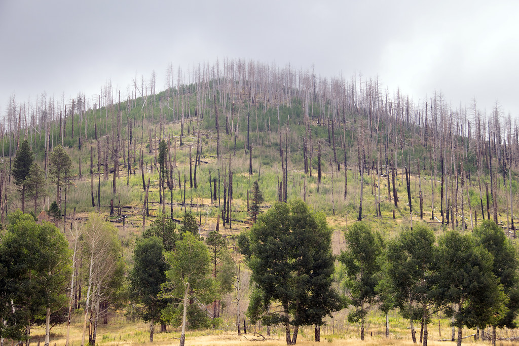 Photo: Paul and Jill, CC BY 2.0 (via Flickr)
Coyote Call Trail
~5 min drive
2.86-mile loop trail in New Mexico with 1,009 ft gain and 9,237 ft max elevation.
HIKE
Redondito Trail
~6 min drive
13.44-mile out-and-back hike in New Mexico with 959 ft elevation gain.
HIKE
Abrigo Trail
~8 min drive
11.86-mile out-and-back hike in New Mexico with 4,633 ft gain/loss
HIKE
Cerro La Jara Stop 6
~2 min drive
So far, you have learned that about 1.2 million years ago, a giant volcanic eruption occurred and created Valles Caldera when the roof of the empty magma chamber collapsed. The material that was erupted (called the Bandelier Tuff) was deposited inside the new hole in the groun…
 Photo: cogdogblog, CC0 (via Wikimedia Commons)
Pond Trail
~3 min drive
0.41-mile lollipop trail in New Mexico with 4 ft elevation gain.
HIKE
South Mountain Trail
~3 min drive
4.62-mile out-and-back hike on South Mountain in New Mexico with 820 ft elevation gain.
HIKE
Valle Trail (289)
~9 min drive
5.70-mile out-and-back trail in New Mexico with 1,179 ft of elevation gain.
HIKE
Cerro La Jara Stop 8
~2 min drive
Did you notice that prairie dogs make this area their home? They like to make chirping noises to warn each other of people in the area, so they are difficult to miss! What they are also doing is trying to make future trace fossils. A trace fossil is a record of life that isn’t…

