Loading…

Cerro La Jara Stop 7
Free — you'll pick up right here.
Watch this trail
Sign up to watch it — saving subscribes you to gate, closure and report changes.
New Mexico
We won't guess. Here is exactly what we do and don't know.
What we do know
Inside Valles Caldera National Preserve
National Park unit boundary is mapped — agency alerts for it feed this page automatically.
Boundary data
What's missing
No access route mapped
We don't yet know which road reaches this trailhead, so we can't tell you if it's gated.
Nobody's filed a report here yet — be the first.
Cerro La Jara Stop 7
AI-suggested draft · review before you go
No elevation data on file for this trail.
No permit or access details on file for this trail — check with the local land manager before you go.
Look northward across the road. The broad valley is Valle Grande. A lake filled this valley several times in the past. If the lighting is right, you will be able to see low, flat lying ridges at the base of the mountains in the distance. These ridges are sediments that were deposited on the beaches of a lake.<br /> <br /> To the northeast - slightly to your right - you can see Cerro del Medio. Cerro del Medio is the first set of peaks you see rising out of the valley. It is a volcanic dome that was formed a few tens of thousands of years after the caldera collapse, when a large lake partly filled Valle Grande. It was the first volcanic dome to erupt after formation of the caldera. The lava that formed the volcanic dome was very hot and contained a lot of silica. It cooled quickly, possibly because it was erupted underwater, and formed rocks called rhyolite and obsidian.<br /> <br /> Obsidian is volcanic glass. When broken, it forms very sharp edges. A skilled toolmaker can make high quality knives and arrow points from obsidian. Beginning more than 10,000 years ago, and for thousands of years, obsidian deposits in Valles Caldera National Preserve were mined and used by people who lived in or visited the area. If you saw small flakes of dark, glassy rock on the Cerro La Jara Trail, they were probably obsidian. Ancestral people used the area to make tools from the obsidian, and the flakes were left behind. Admire them and leave them for the next visitor to see.<br /> <br /> Stay where you are for a moment and look around for animals. Then, continue down the trail to your final stop.<br /> <br /> <br /> <meta charset="utf-8" /> <p dir="ltr"><em><b id="docs-internal-guid-d527b77f-7fff-cf19-65d5-ea8761d3c471">Mira hacia el norte, al otro lado de la carretera. El amplio valle es Valle Grande. En el pasado, este valle se inundó varias veces. Si la iluminación es adecuada, podrás ver crestas bajas y planas en la base de las montañas en la distancia. Estas crestas son sedimentos que se depositaron en las playas de un lago.</b></em></p> <p dir="ltr"><em><b id="docs-internal-guid-d527b77f-7fff-cf19-65d5-ea8761d3c471">Al noreste, a su derecha, puede ver el Cerro del Medio. El Cerro del Medio es el primer conjunto de picos que se ve sobre el valle. Es un domo volcánico que se formó unas decenas de miles de años después del colapso de la caldera, cuando un gran lago llenó parcialmente el Valle Grande. Fue el primer domo volcánico en entrar en erupción tras la formación de la caldera. La lava que formó el domo volcánico estaba muy caliente y contenía mucha sílice. Se enfrió rápidamente, posiblemente porque entró en erupción bajo el agua, y formó rocas llamadas riolita y obsidiana.</b></em></p> <p dir="ltr"><em><b id="docs-internal-guid-d527b77f-7fff-cf19-65d5-ea8761d3c471">La obsidiana es vidrio volcánico. Cuando se rompe, forma bordes muy afilados. Un fabricante de herramientas experto puede fabricar cuchillos y puntas de flecha de alta calidad a partir de obsidiana. Hace más de 10,000 años, y durante miles de años, los depósitos de obsidiana de la Reserva Nacional Valles Caldera fueron utilizados por las personas que vivían en la zona o la visitaban. Si ha visto pequeñas escamas de roca oscura y vidriosa en el sendero Cerro La Jara, probablemente sea obsidiana. Los antepasados utilizaban la zona para fabricar herramientas con obsidiana y dejaban atrás las escamas. Admírelas y déjelas para que las vea el próximo visitante.</b></em></p> <p dir="ltr"><em><b id="docs-internal-guid-d527b77f-7fff-cf19-65d5-ea8761d3c471">Quédate donde estás un momento y busca animales a tu alrededor. A continuación, continúa por el sendero hasta tu última parada.</b></em></p>
Cerro La Jara Stop 8
~0 min drive
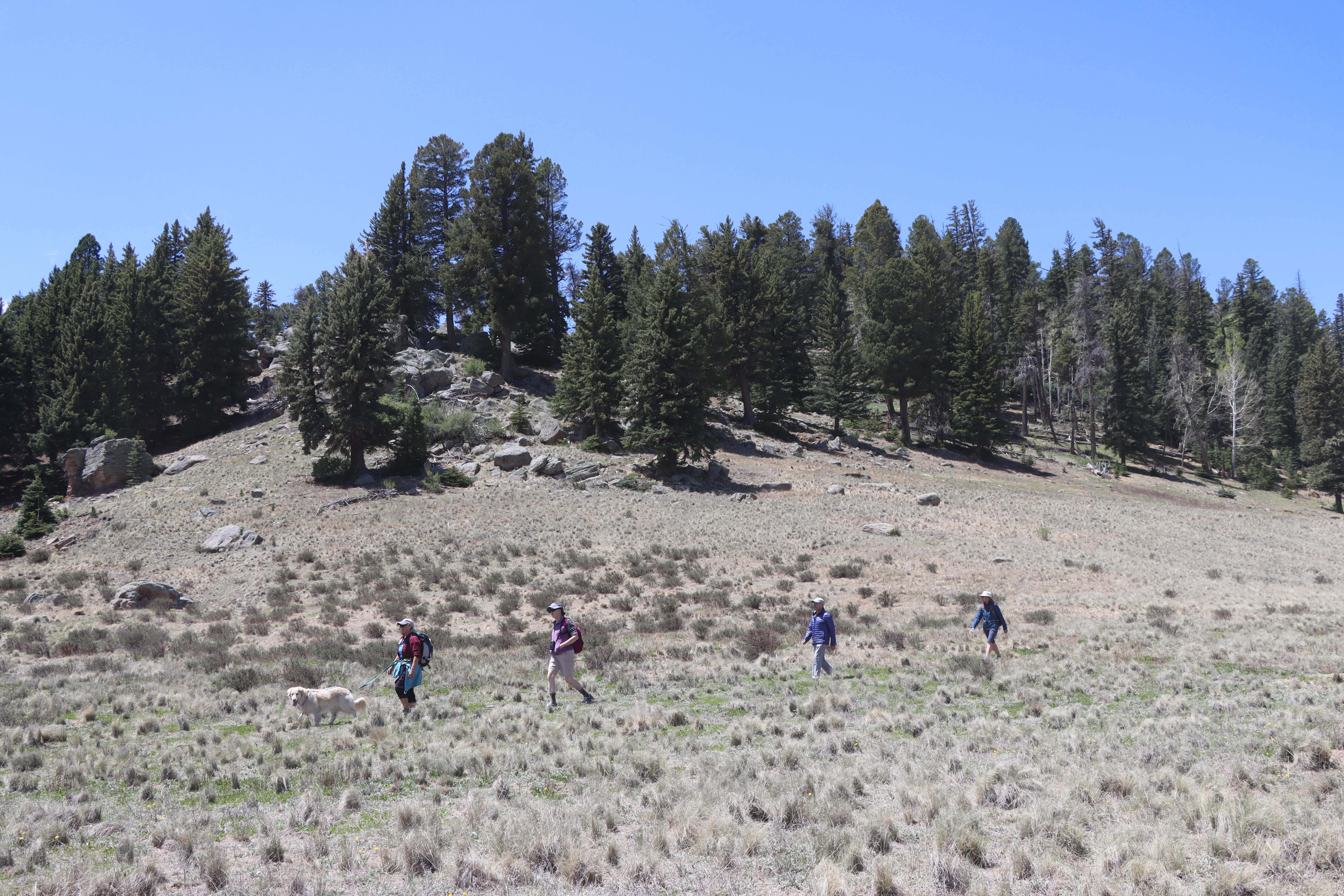
Did you notice that prairie dogs make this area their home? They like to make chirping noises to warn each other of people in the area, so they are difficult to miss! What they are also doing is trying to make future trace fossils. A trace fossil is a record of life that isn’t…
North East Fork
~5 min drive
Easy 1.14-mile walk with minimal elevation gain near North East Fork.
Alamo Spring
~7 min drive
Moderate 10.51-mile high desert trail to Alamo Spring with gentle elevation gain.
Cerro Pelado
~10 min drive
Moderate 3.79-mile summit hike with 780 ft gain and scenic ridgeline views.
Cerro La Jara Stop 1
~0 min drive
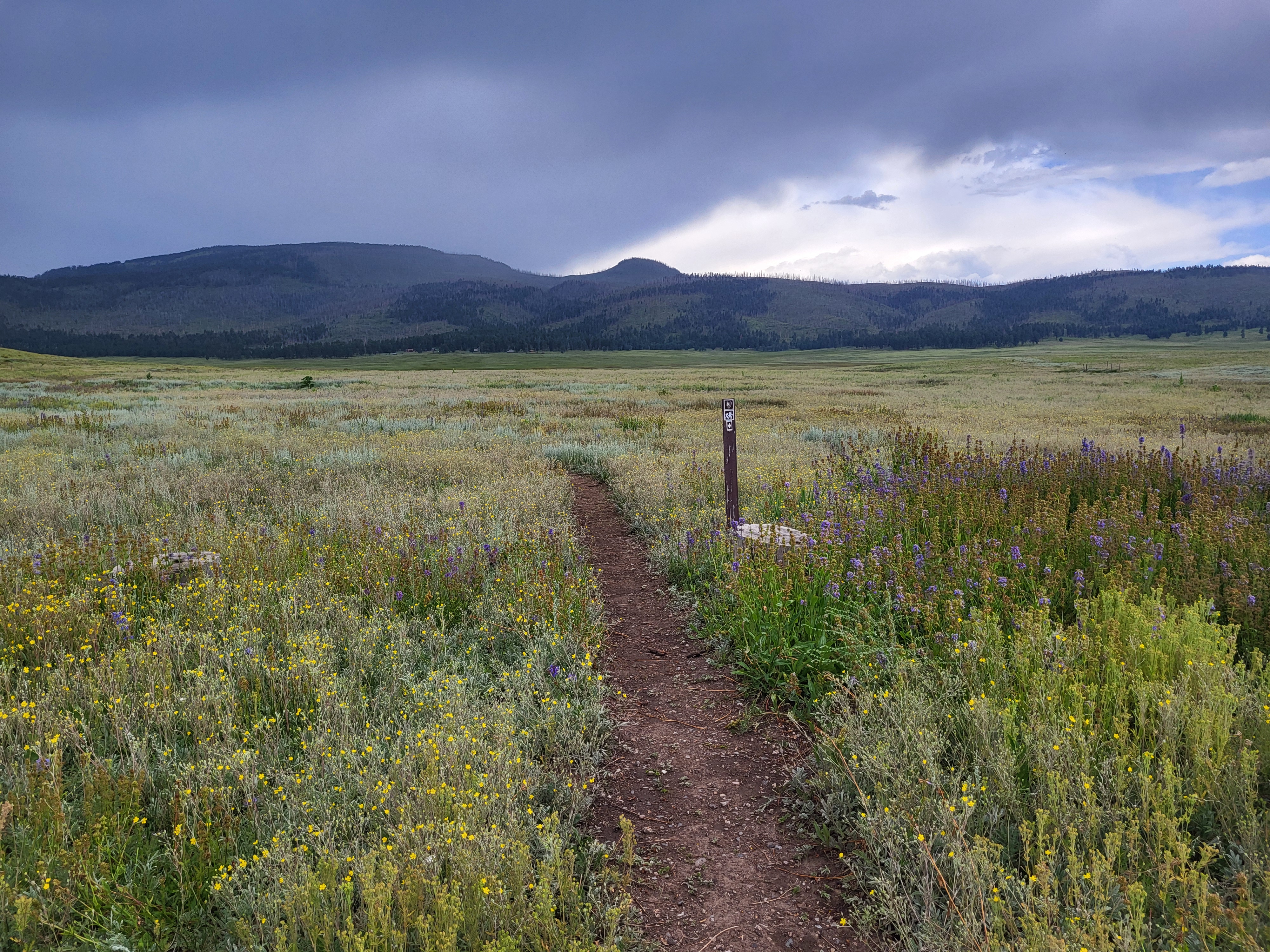
<p>Welcome to the Cerro La Jara Trail in Valles Caldera National Preserve. This trail is about 1.5 miles (2.4 km) long and will likely take 1 to 2 hours to complete. The elevation change is small – about 50 feet. Leashed pets are permitted on this trail, but please ensure that…
Bearhead Ridge
~10 min drive
Moderate 7-mile ridgeline hike with 1,342 ft elevation gain and panoramic views.
Pajarito Nordic
~12 min drive
Accessible high-altitude loop through Pajarito Plateau forests and meadows.
Birding By Car Stop 4
~0 min drive
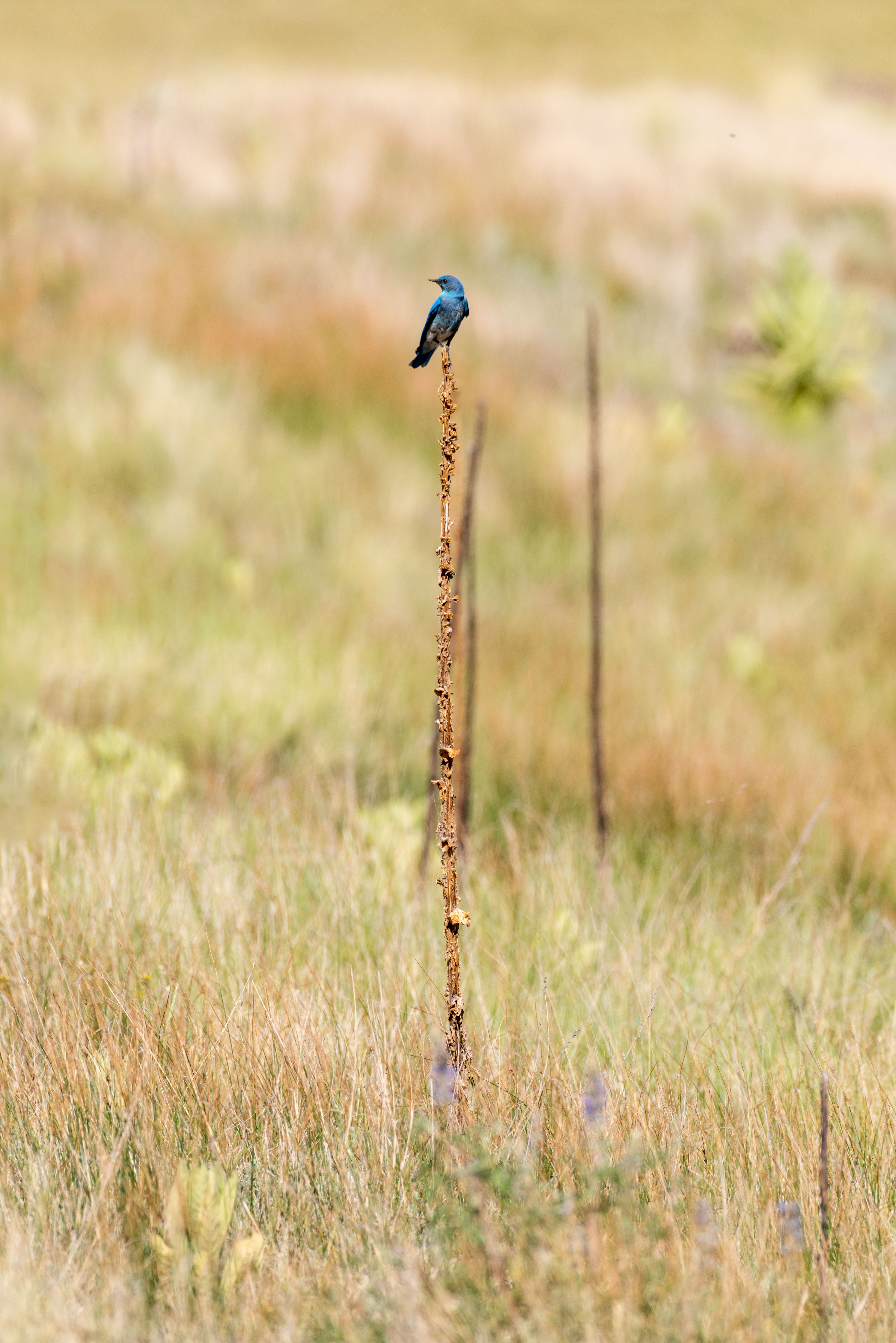
At the entrance station, we are surrounded by montane grasslands. Across the road is a small, forested lava dome called Cerro La Jara. If you're looking for a short hike with lots of wildlife watching opportunities, there's a wonderful 1.4-mile loop trail around the lava dome.…
Peralta Canyon
~10 min drive
Moderate 10.5-mile canyon hike with 1,710 ft elevation gain in the Sandias.
Water Canyon
~13 min drive
Moderate canyon hike with steady elevation gain and scenic desert views.