Teakettle Rock
- 8,677 ft
- elevation
- Forest Service
- managed by
- May–Jul, Sep
- best months
Is Teakettle Rock open right now?
Alert in the area
The Forest Service lists an alert for Santa Fe National Forest.
Road Conditions
Agency alert covering Santa Fe National Forest · USFS · Santa Fe National Forest
As of · Source: USFS · Santa Fe National Forest. Agencies don't list every closure — check before you go.
Teakettle Rock is an arch in the Coyote Ranger District of the Santa Fe National Forest in New Mexico, about 8.5 miles from the town of Coyote. The Forest Service manages the land, and the arch sits at about 8,677 feet. Summer is the most comfortable time to visit. Typical averages from the nearby Wolf Canyon weather station run to highs around 75°F in June and August, with July the warmest at about 77°F. Winter is cold, with January highs near 38°F and about seven snowy days that month. The station sits roughly 450 feet below the arch, so temperatures up high run cooler. Coyote Canyon campground is about 3.7 miles away, and the Rio Puerco and Pinabetal hikes are within about five miles. Rio De Las Vacas Campground is about 7.5 miles off.
- Elevation
- 8,677 ft
- Land manager
- Forest Service
Elevation from USGS 3D Elevation Program terrain data (about 10 m resolution).
- Coyote CanyonCamping3.7 mi
- Rio PuercoHiking4.3 mi
- PinabetalHiking5.2 mi
- Palomas Trail (50)Hiking5.8 mi
- Rio De Las Vacas CampgroundCamping7.5 mi
- Eclipse ButtressRock climbing7.9 mi
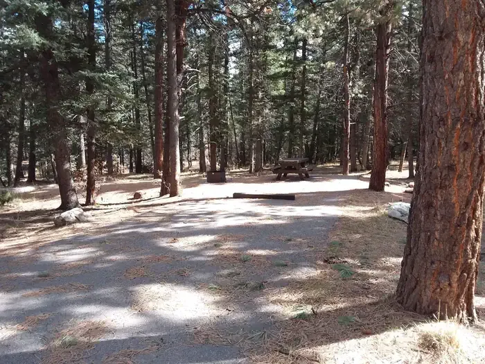 Clear Creek Campground (nm)CampingPhoto: Recreation.gov (RIDB) / public domain8.1 mi
- Rio de las VacasCanoeing9.2 mi
Source: Roamze catalog (indexable pages within 10 miles, PostGIS distance)
Best time to visit Teakettle Rock
Best months: May–July and September. Best months have typical highs of 55–85 °F, lows of 30 °F or warmer (32 °F where the station doesn't record snow), at most one snowy day and no more than 12 wet days.
Jan
38° / 9°
7 wet · 7 snow
Feb
40° / 13°
6 wet · 6 snow
Mar
48° / 19°
6 wet · 5 snow
Apr
56° / 24°
5 wet · 3 snow
May
65° / 30°
5 wet · 1 snow
Jun
75° / 37°
5 wet
Jul
77° / 44°
12 wet
Aug
75° / 43°
13 wet
Sep
69° / 36°
8 wet
Oct
59° / 27°
6 wet · 1 snow
Nov
47° / 18°
5 wet · 4 snow
Dec
38° / 10°
7 wet · 7 snow
Typical high / low (°F) and days with rain or snow, 1991–2020. Measured at Wolf Canyon, NM, 7.6 mi away at 8,220 ft. Source: NOAA NCEI U.S. Climate Normals 1991–2020.

