Forest 190C Road
- 0.8 mi
- round trip
- 618 ft
- climb
- 9,134 ft
- high point
- Out and back
- route
- Apr–Oct
- best months
Is Forest 190C Road open right now?
Alert in the area
The Forest Service lists an alert for Magdalena Ranger District.
Magdalena Ranger District Bear Trap Campground Closure Order #03-03-03-26-01
Agency alert covering Magdalena Ranger District · Order 03-03-03-26-01 · USFS · Magdalena Ranger District
As of · Source: USFS · Magdalena Ranger District. Agencies don't list every closure — check before you go.
Forest 190C Road is an easy out-and-back hike in the Magdalena Ranger District of Cibola National Forest in northern New Mexico. The route climbs about 618 feet over a total distance of 1.6 miles, starting at roughly 8,494 feet and reaching a high point of about 9,134 feet. The most comfortable months for a visit are typically May and September, when typical averages from a nearby weather station show highs around 73°F and 75°F. July and August are the wettest, with about 11 to 12 wet days each month, and temperatures at the top run cooler than those figures because the station sits roughly 1,200 feet lower. The Grand Enchantment Trail lies about 0.6 miles away and North Baldy Trail #8 about 1.6 miles away. Water Canyon Campground is about 4.4 miles away, and Hop Canyon is about 2.5 miles away.
Best time to go · Apr–Oct
Best time to visit Forest 190C Road
Best months: April–October. Best months have typical highs of 55–85 °F, lows of 30 °F or warmer (32 °F where the station doesn't record snow), at most one snowy day and no more than 12 wet days.
Jan
43° / 20°
5 wet
Feb
47° / 23°
5 wet
Mar
56° / 27°
5 wet
Apr
64° / 33°
3 wet
May
73° / 41°
4 wet
Jun
83° / 50°
5 wet
Jul
83° / 53°
11 wet
Aug
80° / 52°
12 wet
Sep
75° / 46°
7 wet
Oct
64° / 37°
5 wet
Nov
52° / 27°
4 wet
Dec
43° / 20°
5 wet
Typical high / low (°F) and days with rain or snow, 1991–2020. Measured at Pietown 19ne, NM, 49.6 mi away at 7,961 ft. The station sits about 1,200 ft lower than this place, so expect it a little cooler here. This station doesn't record snowfall. Source: NOAA NCEI U.S. Climate Normals 1991–2020.
Keep exploring — more trails worth the drive
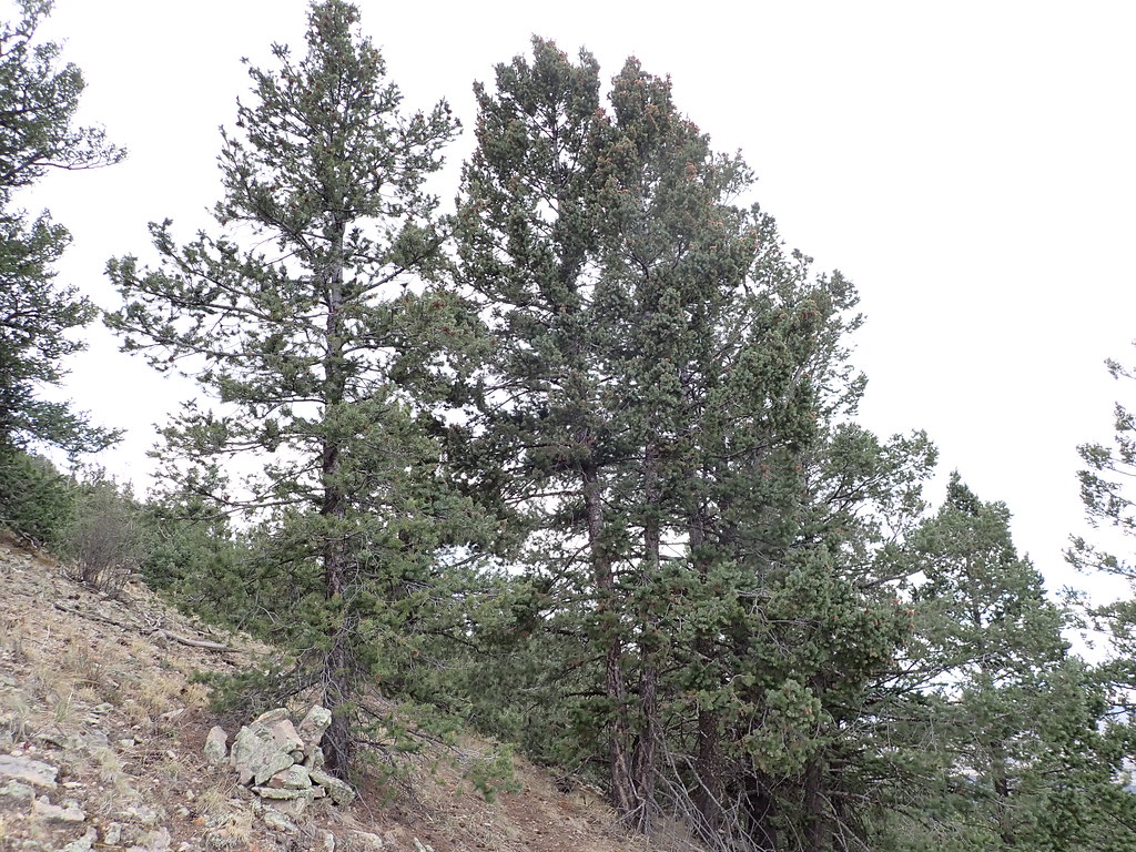 Photo: Matt Lavin, CC BY-SA 2.0 (via Flickr)
North Baldy Trail #8
~6 min drive
Quick 2.71-mile mountain hike with scenic ridge views.
 Photo: Matt Lavin, CC BY-SA 2.0 (via Flickr)
North Baldy Trail
~7 min drive
0.96-mile out-and-back hike to Baldy summit in New Mexico with 551 ft gain
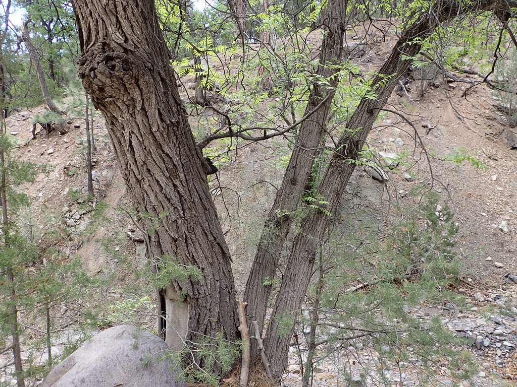 Photo: Matt Lavin, CC BY-SA 2.0 (via Flickr)
Mesa
~8 min drive
Mesa is an 11.26-mile out-and-back trail in New Mexico with 3,020 feet of elevation gain.
 Photo: Matt Lavin, CC BY-SA 2.0 (via Flickr)
Ryan Hill Trail (17)
~10 min drive
9.18-mile out-and-back trail in New Mexico with 3,376 ft elevation gain.
Photo: Matt Lavin, CC BY-SA 2.0 (via Flickr)Mill Canyon
~6 min drive
1.68-mile out-and-back trail in New Mexico with 47 ft of elevation gain.
 Photo: Matt Lavin, CC BY-SA 2.0 (via Flickr)
Copper Canyon Trail
~8 min drive
Copper Canyon Trail is a 0.41-mile out-and-back hike in New Mexico with 33 feet of elevation gain.
Photo: Matt Lavin, CC BY-SA 2.0 (via Flickr)South Canyon
~9 min drive
8.11-mile out-and-back trail in South Canyon, New Mexico.
 Photo: Matt Lavin, CC BY-SA 2.0 (via Flickr)
Copper Canyon Trail #10
~9 min drive
Accessible canyon trail with scenic copper-toned rock formations and moderate elevation.
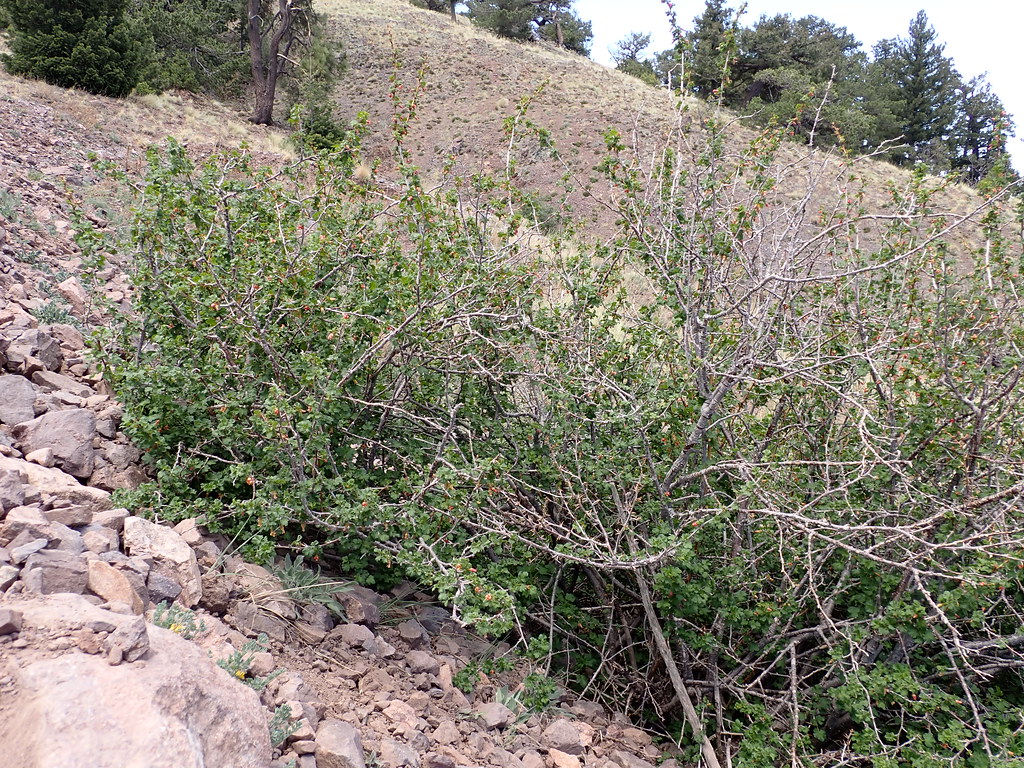 Photo: Matt Lavin, CC BY-SA 2.0 (via Flickr)
Water Canyon Road
~9 min drive
0.79-mile out-and-back trail in New Mexico with 516 ft elevation gain.
Photo: Matt Lavin, CC BY-SA 2.0 (via Flickr)North Baldy
~9 min drive
10.56-mile out-and-back trail in New Mexico.

Map and trail data © OpenStreetMap contributors
