Cow Springs Trail
- 2.2 mi
- round trip
- 382 ft
- climb
- 6,952 ft
- high point
- Out and back
- route
- Apr–Oct
- best months
Cow Springs Trail is an easy out-and-back hike on state trust land in western New Mexico, about 2 miles from the starting point and covering roughly 4.3 miles round trip. The trail climbs about 380 feet to a high point of 6,952 feet, with the steepest stretch near the 1.1-mile mark. The route is rated easy and takes about 1.5 hours to complete. The trail starts at an elevation of about 6,735 feet and ends at the same level, so the climb is front-loaded and the descent mirrors it. Snow days occur from November through February, according to typical averages from a nearby weather station in Pecos National Historical Park. Spring and fall are the most comfortable times to go: May highs run around 73°F with lows near 39°F, and October highs average about 67°F. Del Sol Trail is the closest neighbor at about 1.7 miles. Pecos National Historical Park, Deer Trail and Grasshopper Canyon Trail are all within about 9 miles.
Local outfitters
- Turquoise Trail Campground39 mi away
Not on Roamze yet. Their page has how to reach them.
- Del Sol TrailHiking1.7 mi
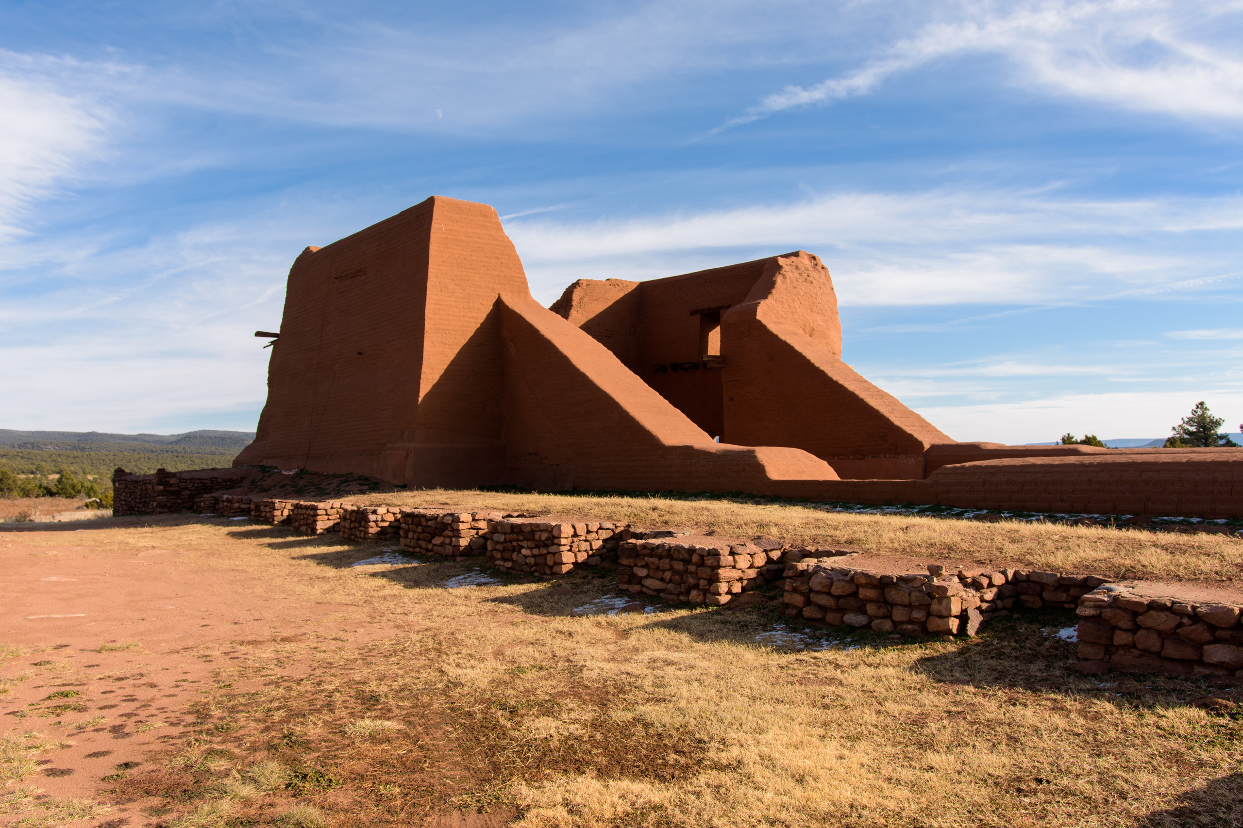 Pecos National Historical ParkHikingPhoto: NPS Photo8.8 mi
 Deer TrailHikingPhoto: jimcintosh, CC BY 2.0 (via Flickr)8.9 mi
- Grasshopper Canyon TrailHikingPhoto: jimcintosh, CC BY 2.0 (via Flickr)8.9 mi
 South Wagon TrailHikingPhoto: Paul and Jill, CC BY 2.0 (via Flickr)9 mi
- Arroyo TrailHiking9 mi
 Arroyo de los Angeles TrailHikingPhoto: Paul and Jill, CC BY 2.0 (via Flickr)9.1 mi
- Apache Canyon (a.k.a. Grasshopper Canyon) BoulderingRock climbing9.2 mi
Source: Roamze catalog (indexable pages within 10 miles, PostGIS distance)
- Pecos National Historical ParkHiking · ~15 min drive
- Deer TrailHiking · ~15 min drivePhoto: jimcintosh, CC BY 2.0 (via Flickr)
- Grasshopper Canyon TrailHiking · ~15 min drivePhoto: jimcintosh, CC BY 2.0 (via Flickr)
 Ghost TownHiking · ~19 min drivePhoto: jimcintosh, CC BY 2.0 (via Flickr)
- South Wagon TrailHiking · ~15 min drivePhoto: Paul and Jill, CC BY 2.0 (via Flickr)
- Apache Canyon TrailHiking · ~16 min drivePhoto: jimcintosh, CC BY 2.0 (via Flickr)
- BaldyHiking · ~25 min drive
 Sphinx Loop WestHiking · ~15 min drivePhoto: Paul and Jill, CC BY 2.0 (via Flickr)
 Ancestral Sites TrailHiking · ~16 min drivePhoto: ShanMcG213, CC BY-SA 2.0 (via Flickr)
- Glorieta BaldyHiking · ~19 min drive
Best time to visit Cow Springs Trail
Best months: April–October. Best months have typical highs of 55–85 °F, lows of 30 °F or warmer (32 °F where the station doesn't record snow), at most one snowy day and no more than 12 wet days.
Jan
47° / 18°
4 wet · 3 snow
Feb
50° / 21°
4 wet · 2 snow
Mar
57° / 26°
4 wet · 1 snow
Apr
64° / 31°
4 wet · 1 snow
May
73° / 39°
4 wet
Jun
84° / 48°
6 wet
Jul
85° / 54°
12 wet
Aug
83° / 52°
12 wet
Sep
78° / 45°
7 wet
Oct
67° / 34°
5 wet
Nov
55° / 25°
4 wet · 1 snow
Dec
47° / 18°
4 wet · 2 snow
Typical high / low (°F) and days with rain or snow, 1991–2020. Measured at Pecos Nm, NM, 9.2 mi away at 6,878 ft. Source: NOAA NCEI U.S. Climate Normals 1991–2020.

Map and trail data © OpenStreetMap contributors
