Ghost Town
 Photo: jimcintosh, CC BY 2.0 (via Flickr)
- 7.7 mi
- round trip
- 1,564 ft
- climb
- 9,107 ft
- high point
- Out and back
- route
- May–Oct
- best months
Caution today
Agency alerts are in effect for this area; weather is good · USFS, OpenWeather · checked 6 h ago
Is Ghost Town open right now?
Alert in the area
The Forest Service lists 3 alerts for Santa Fe National Forest.
Road Conditions
Agency alert covering Santa Fe National Forest · USFS · Santa Fe National Forest
Campground and Equestrian Area Closure for Field Tract and Jacks Creek
Agency alert covering Pecos-Las Vegas Ranger District · Order 03-10-05-26-12 · USFS · Pecos-Las Vegas Ranger District
Temporary area, road, and trail closures for Hermits Peak and Calf Canyon post-fire impacts
Agency alert covering Pecos-Las Vegas Ranger District · Order 03-10-05-26-05 · USFS · Pecos-Las Vegas Ranger District
As of · Source: USFS · Santa Fe National Forest. Agencies don't list every closure — check before you go.
Ghost Town is a hard hike in the Pecos-Las Vegas Ranger District of the Santa Fe National Forest in New Mexico, about 7.7 miles long with a one-way elevation gain of 1,564 feet. The trail runs out and back, starting at a low point of 7,522 feet and rising to a high point of 9,107 feet. The route is on natural surface and allows bikes. The Forest Service keeps the trail open from May 1 through September 30, so plan a trip for late spring through early fall. Typical averages from the nearby Gascon, NM weather station put June and July highs around 75 to 76°F, with July and August bringing the most wet days of the year. The station sits about 860 feet below the high point, so temperatures on the summit run cooler. Glorieta Baldy is just 0.1 mile away, and the Ghost Town Trail (177) is 0.6 mile off. The Glorieta Pass Battlefield Trail is 2.4 miles away, and Field Tract Campground, about 7.4 miles away, offers a place to camp.
Local outfitters
- Turquoise Trail Campground46 mi away
Not on Roamze yet. Their page has how to reach them.
Best time to go · May–Oct
Best time to visit Ghost Town
Best months: May–October. Best months have typical highs of 55–85 °F, lows of 30 °F or warmer (32 °F where the station doesn't record snow), at most one snowy day and no more than 12 wet days.
Jan
44° / 18°
5 wet · 5 snow
Feb
45° / 20°
5 wet · 5 snow
Mar
51° / 24°
6 wet · 5 snow
Apr
57° / 29°
6 wet · 3 snow
May
65° / 36°
6 wet · 1 snow
Jun
75° / 43°
7 wet
Jul
76° / 47°
12 wet
Aug
74° / 46°
12 wet
Sep
69° / 41°
7 wet
Oct
61° / 32°
5 wet · 1 snow
Nov
52° / 24°
4 wet · 3 snow
Dec
44° / 18°
4 wet · 4 snow
Typical high / low (°F) and days with rain or snow, 1991–2020. Measured at Gascon, NM, 27.1 mi away at 8,250 ft. The station sits about 900 ft lower than this place, so expect it a little cooler here. Source: NOAA NCEI U.S. Climate Normals 1991–2020.
Keep exploring — more trails worth the drive
 Photo: ShanMcG213, CC BY-SA 2.0 (via Flickr)
Glorieta Pass Battlefield Trail
~4 min drive
2.26-mile loop at Glorieta Pass Battlefield Trail in New Mexico with 321 ft gain.
 Photo: jimcintosh, CC BY 2.0 (via Flickr)
Deer Trail
~6 min drive
8.94-mile out-and-back hike in New Mexico with 1,470 ft elevation gain/loss.
HIKE
Pecos National Historical Park
~11 min drive
From wagon ruts to trading posts, remnants of the historical Santa Fe Trail can still be seen at Pecos National Historical Park. Settlers and travelers riding the trail between Santa Fe, NM and Independence, MO passed right by the remnants of Pecos Pueblo. Long before…
HIKE
Glorieta Baldy
Next door
10.40-mile out-and-back trail in New Mexico with 2,742 ft elevation gain.
Photo: jimcintosh, CC BY 2.0 (via Flickr)Grasshopper Canyon Trail
~6 min drive
2.94-mile out-and-back hike in New Mexico with 637 ft elevation gain
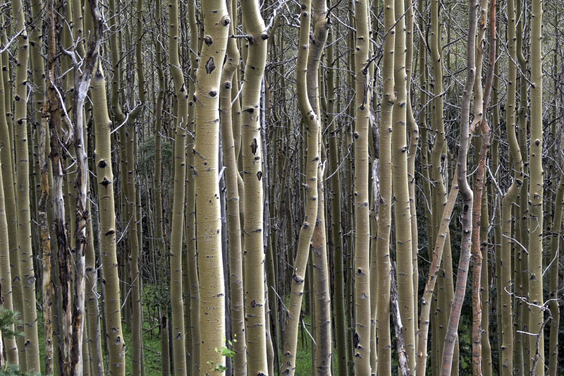 Photo: awsheffield, CC BY 2.0 (via Flickr)
West Circle Trail
~17 min drive
4.3-mile out-and-back trail in New Mexico with 1,874 ft elevation gain and loss.
HIKE
Baldy
~9 min drive
12.60-mile out-and-back trail in New Mexico with 2,677 ft elevation gain.
Photo: jimcintosh, CC BY 2.0 (via Flickr)Apache Canyon Trail
~7 min drive
1.02-mile out-and-back hike in New Mexico with 212 ft elevation gain
 Photo: Bryan Ungard from Santa Fe, New Mexico, USA, CC BY-SA 2.0 (via Wikimedia Commons)
Atalaya
~15 min drive
Atalaya is a 4.68-mile out-and-back trail in New Mexico with 1,745 feet of elevation gain.
 Photo: ShanMcG213, CC BY-SA 2.0 (via Flickr)
Ancestral Sites Trail
~10 min drive
2.38-mile out-and-back hike in New Mexico with 62 ft of elevation gain.

