Glorieta Baldy
- 10.4 mi
- round trip
- 2,657 ft
- climb
- 10,157 ft
- high point
- Out and back
- route
Caution at last check
Agency alerts are in effect for this area; weather is marginal · USFS, OpenWeather · checked 16 h ago
Is Glorieta Baldy open right now?
Alert in the area
The Forest Service lists 3 alerts for Santa Fe National Forest.
Road Conditions
Agency alert covering Santa Fe National Forest · USFS · Santa Fe National Forest
Campground and Equestrian Area Closure for Field Tract and Jacks Creek
Agency alert covering Pecos-Las Vegas Ranger District · Order 03-10-05-26-12 · USFS · Pecos-Las Vegas Ranger District
Temporary area, road, and trail closures for Hermits Peak and Calf Canyon post-fire impacts
Agency alert covering Pecos-Las Vegas Ranger District · Order 03-10-05-26-05 · USFS · Pecos-Las Vegas Ranger District
As of · Source: USFS · Santa Fe National Forest. Agencies don't list every closure — check before you go.
Glorieta Baldy is a hard hike in the Pecos-Las Vegas Ranger District of the Santa Fe National Forest in northern New Mexico. The route is an out-and-back that climbs from about 7,500 feet to roughly 10,150 feet, a total gain of 2,657 feet over 10.4 miles. The trail is natural-surfaced and allows bikes, so riders can take it on two wheels. The climb is a long one, and the high point at 10,157 feet makes this a serious day. The trail is open year-round, and the route is rated hard, so plan on time and effort for the whole trip. The Ghost Town hike starts just 0.1 mile away, and the Ghost Town Trail (177) is about 0.7 mile off. The Glorieta Pass Battlefield Trail is about 2.3 miles away, and Field Tract Campground, about 7.4 miles out, offers a place to camp.
Local outfitters
- Turquoise Trail Campground46 mi away
Not on Roamze yet. Their page has how to reach them.
 Ghost TownHikingPhoto: jimcintosh, CC BY 2.0 (via Flickr)0.1 mi
- Ghost Town Trail (177)Hiking0.7 mi
 Glorieta Pass Battlefield TrailHikingPhoto: ShanMcG213, CC BY-SA 2.0 (via Flickr)2.3 mi
- Apache Canyon (a.k.a. Grasshopper Canyon) BoulderingRock climbing3.3 mi
- Field Tract CampgroundCamping7.4 mi
- Windy Bridge - Brautigan BoulderRock climbing8.1 mi
- Pecos River CanyonRock climbing8.4 mi
- Black Canyon (New)CgCamping9.7 mi
Source: Roamze catalog (indexable pages within 10 miles, PostGIS distance)
- Ghost TownHiking · Next doorPhoto: jimcintosh, CC BY 2.0 (via Flickr)
 Grasshopper Canyon TrailHiking · ~6 min drivePhoto: jimcintosh, CC BY 2.0 (via Flickr)
- Deer TrailHiking · ~6 min drivePhoto: jimcintosh, CC BY 2.0 (via Flickr)
- Pecos National Historical ParkHiking · ~11 min drive
- BaldyHiking · ~10 min drive
- Apache Canyon TrailHiking · ~6 min drivePhoto: jimcintosh, CC BY 2.0 (via Flickr)
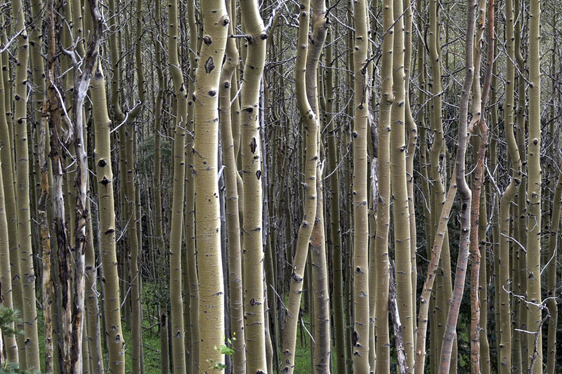 West Circle TrailHiking · ~17 min drivePhoto: awsheffield, CC BY 2.0 (via Flickr)
 Ancestral Sites TrailHiking · ~9 min drivePhoto: ShanMcG213, CC BY-SA 2.0 (via Flickr)
 AtalayaHiking · ~15 min drivePhoto: Bryan Ungard from Santa Fe, New Mexico, USA, CC BY-SA 2.0 (via Wikimedia Commons)
 St John's Arroyo TrailHiking · ~15 min drivePhoto: Lars Plougmann, CC BY-SA 2.0 (via Flickr)

