

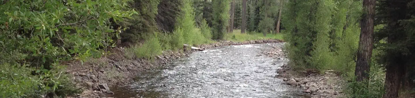
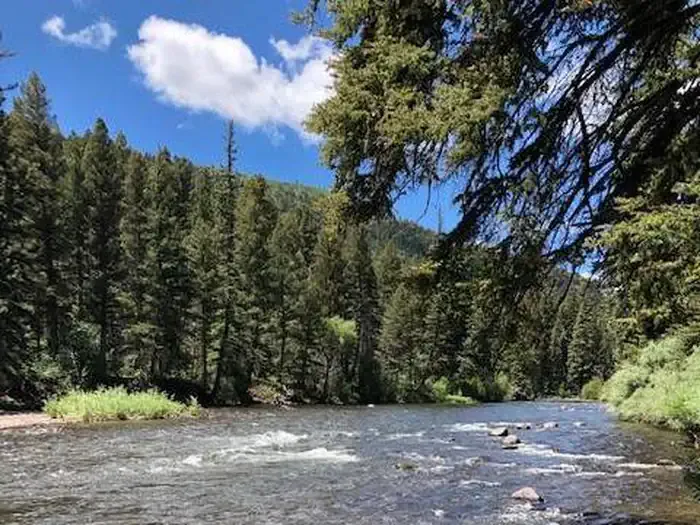
Pagosa Riverside Campground
Hiking business nearby (~35 mi away) — hasn't claimed their Roamze page yet
Free — you'll pick up right here.
Watch this trail
Sign up to watch it — saving subscribes you to gate, closure and report changes.
New Mexico
7.8 mi
Distance
We won't guess. Here is exactly what we do and don't know.
What we do know
Inside Carson National Forest
2 managing-area boundaries mapped — agency alerts for them feed this page automatically.
Boundary data
Access via CO 17: Cumbres Pass
Road status feeds from the state DOT 511 network.
State DOT 511 · 28 d ago
Nobody's filed a report here yet — be the first.
Why you'll love it
Continental Divide Trail
AI-suggested draft · review before you go
No permit or access details on file for this trail — check with the local land manager before you go.
The Continental Divide Trail in New Mexico offers a moderate alpine hiking experience along one of North America's most iconic ridgelines. This 7.83-mile section traverses high-elevation terrain with expansive views of the surrounding peaks and valleys, providing hikers with a genuine sense of walking the spine of the continent. The trail showcases the diverse ecosystems of New Mexico's high country, from subalpine forests to windswept ridges.

Red Lake
~13 min drive
6.1 mi · Hard

Flat
~13 min drive
3.3 mi · Easy

Ruybalid
~22 min drive
5.1 mi · Moderate
Cdt - New Mexico Section
~2 min drive
A scenic Continental Divide Trail segment through New Mexico's high country.

Los Pinos
~13 min drive
7.9 mi · Hard
West Fork Rio Chama
~12 min drive
2.9 mi · Easy

No Name Lake
~23 min drive
5.5 mi · Moderate
Cdt - New Mexico Section
~4 min drive
Brief CDT segment through New Mexico's high desert landscape.

Roaring Gulch East
~26 min drive
3.5 mi · Hard
Alverjones
~22 min drive
2.2 mi · Easy
Local operatorsoffering guided trips. You book directly with them — Roamze doesn’t take a cut.
Pagosa Riverside Campground
Hiking business nearby (~35 mi away) — hasn't claimed their Roamze page yet
Pagosa Pines RV Park
Hiking business nearby (~37 mi away) — hasn't claimed their Roamze page yet
Wilderness Journeys Pagosa
Hiking business nearby (~38 mi away) — hasn't claimed their Roamze page yet