Chama Chile
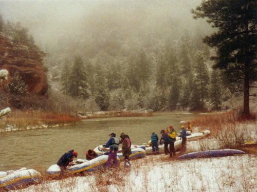
 Photo: Jeffrey Beall, CC BY 4.0 (via Wikimedia Commons)
- 3.6 mi
- distance
- 287 ft
- climb
- 9,863 ft
- high point
Is Chama Chile open right now?
Road closed
CO 17: road closure is listed as closed by CDOT 511.
CO 17: road closure
Closed · ~0.6 km from Chama Chile · CDOT 511
Closures and dangerous conditions on roads, bridges, and trails from flooding
Agency closure covering Rio Grande National Forest · USFS · Rio Grande National Forest
As of · Source: CDOT 511. Agencies don't list every closure — check before you go.
Chama Chile is a cross-country ski route in the Conejos Peak Ranger District of Colorado's Rio Grande National Forest. The trail forms a loop about 3.6 miles long, with a high point of 9,863 feet and a low point of 9,649 feet. The total climb is 287 feet, but the route also drops about 480 feet, and the steepest stretch comes around 1.9 miles in at a 9% grade. The trail sits on land managed by the Forest Service, and the nearest town is Chama, which makes this a natural base for exploring the surrounding forest and the Rio Grande corridor. The route's elevation stays in the mid-9,700s, so it works as a short, low-elevation loop for skiers and riders looking to stay near the lower slopes of the district. Nearby, the Continental Divide Trail passes about 2 miles away, and Trujillo Meadows Campground and the Trujillo Meadows Boating Site are each a little over 2 miles off. The Rio Chama, a canoeing route, is about 5 miles away.
Local outfitters
- Pagosa Pines RV Park36 mi away
- Wilderness Journeys Pagosa37 mi away
Not on Roamze yet. Their page has how to reach them.
Keep exploring — more snow worth the drive
 Photo: bogdanstepniak, CC BY 3.0 (via Wikimedia Commons)
Fun Loop
~1h 1m drive
0.95-mile route in Colorado with 142 ft of elevation gain.
 Photo: Jeffrey Beall, CC BY 4.0 (via Wikimedia Commons)
Wolf Creek Ski Area
~1h drive
Wolf Creek Ski Area in Colorado has 11 lifts and 100 runs with 22 easy, 38 intermediate, and 38 advanced runs.
SKI
West Fork Winter
~1h 3m drive
6.16-mile cross-country ski trail in Colorado with 259 ft of elevation gain.
SKI
Yellow Bark
~1h 12m drive
1.15-mile cross-country ski trail in Colorado with 77 ft of elevation gain.
Photo: bogdanstepniak, CC BY 3.0 (via Wikimedia Commons)Connection Loop
~1h 1m drive
3.35-mile cross-country ski trail in Colorado with 664 ft of elevation gain.
SKI
Long Draw
~1h 12m drive
1.27-mile cross-country ski trail in Colorado with 146 ft of elevation gain.
SKI
Coyote Hill
~1h 12m drive
Coyote Hill is a 1.03-mile out-and-back ski trail in Colorado with 121 feet of elevation gain.
SKI
Main
~1h 12m drive
2.46-mile ski trail in Colorado with 111 ft elevation gain.
SKI
Express
~1h 12m drive
0.34-mile out-and-back ski trail in Colorado with 74 ft elevation gain.
SKI
Winter Camp
~1h 12m drive
Winter Camp is a 1.91-mile cross-country ski trail in Colorado with 104 ft of elevation gain.

Map and trail data © OpenStreetMap contributors
