Archuleta Trail
- 11.2 mi
- round trip
- 3,979 ft
- climb
- 10,720 ft
- high point
- Out and back
- route
Is Archuleta Trail open right now?
Closure in the area
There's a closure order in Rio Grande National Forest. It doesn't name Archuleta Trail, so check the source for the area it covers.
Closures and dangerous conditions on roads, bridges, and trails from flooding
Agency closure covering Rio Grande National Forest · USFS · Rio Grande National Forest
As of · Source: USFS · Rio Grande National Forest. Agencies don't list every closure — check before you go.
The Archuleta Trail is a long, steep out-and-back hike in Colorado's Rio Grande National Forest, within the Conejos Peak Ranger District. It rises from a low point of about 8,740 feet to a high of roughly 10,720 feet, with a total climb of nearly 4,000 feet, and the round trip covers about 22.5 miles. The Forest Service manages the land, and the trail is rated expert. The trail begins at about 8,740 feet. The climb to the high point and back is a full day's work, and the estimated time is about 9.5 hours. The Chama River lies just 0.1 mile away, and dispersed camping is about 0.4 mile off. A little farther out, the West Fork Rio Chama and Trujillo Meadows Campground are both within about 6 miles.
Local outfitters
- Pagosa Riverside Campground29 mi away
- Pagosa Pines RV Park31 mi away
Not on Roamze yet. Their page has how to reach them.
- Chama RiverHiking0.1 mi
- Dispersed CampingCamping0.4 mi
- West Fork Rio ChamaHiking2.2 mi
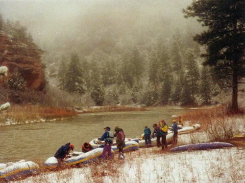 Rio ChamaCanoeingPhoto: Public domain (via Wikimedia Commons)2.9 mi
- HUGHES TRAILHiking3.3 mi
- Trujillo Meadows Boating SiteLake fishing5.5 mi
- Trujillo Meadows CampgroundCamping5.9 mi
- Elk CreekCanoeing8.6 mi
Source: Roamze catalog (indexable pages within 10 miles, PostGIS distance)
 NotchHiking · ~18 min drivePhoto: Michael C. Rael, CC BY 2.0 (via Flickr)
 Hidden Lake TrailHiking · ~22 min drivePhoto: Michael C. Rael, CC BY 2.0 (via Flickr)
- West Fork Rio ChamaHiking · ~4 min drive
- Blue Creek Winter TrailHiking · ~27 min drive
 Duck LakeHiking · ~19 min drivePhoto: Michael C. Rael, CC BY 2.0 (via Flickr)
 No Name LakeHiking · ~20 min drivePhoto: Michael C. Rael, CC BY 2.0 (via Flickr)
- Dixie Creek AccessHiking · ~11 min drive
- Roaring Gulch East TrailHiking · ~23 min drive
- Chama RiverHiking · Next door
- RED LAKE CUTOFFHiking · ~12 min drive

Map and trail data © OpenStreetMap contributors
