Camp May
Campground
Campground · 6.3 mi from the trail
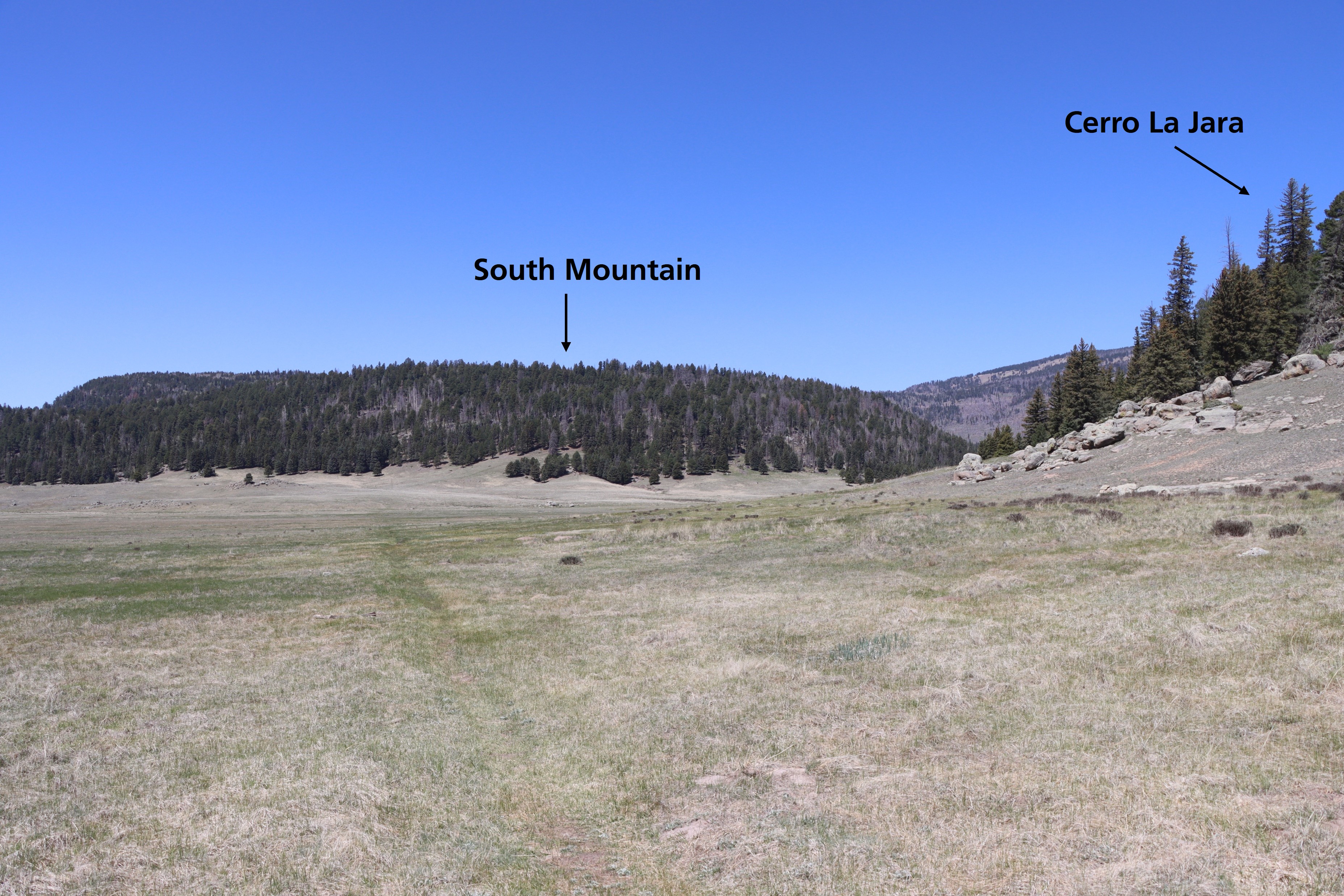 Photo: NPS
No closures listed
The National Park Service lists no closures for Valles Caldera National Preserve.
As of · Source: NPS · Valles Caldera National Preserve. Agencies don't list every closure — check before you go.
Look straight down the path. Cerro La Jara is to your right and South Mountain is directly in front of you. Both of these formations are volcanic domes. Volcanic domes are formed by the extrusion of lava that piles up in a dome shape. Cerro La Jara and South Mountain were formed about 700,000 years after the eruption that formed Valles Caldera. They are both made of a rock called rhyolite. Rhyolite lava has a lot of silica in it – which makes it thick and resistant to flow. This property helps form the steep-sided domes you see here and in other areas of the preserve. There is a boulder to your left that will be visible if it is warm and there isn’t deep snow covering it. It is covered with lichen and is gradually eroding away. It seems to be sitting in a depression or indentation. How might this have happened? We don’t have a perfect explanation, but it is interesting to think about. Mira directamente hacia el camino. El Cerro La Jara está a tu derecha y South Mountain está justo frente a ti. Ambas formaciones son domos volcánicos. Los domos volcánicos se forman por la extrusión de lava que se acumula en forma de domo. El Cerro La Jara y South Mountain se formaron unos 700.000 años después de la erupción que dio origen a Valles Caldera. Ambos están compuestos por una roca llamada riolita. La lava riolítica contiene una gran cantidad de sílice, lo que la hace espesa y resistente al flujo. Esta propiedad contribuye a la formación de los domos de laderas empinadas que se observan aquí y en otras zonas de la reserva. A su izquierda hay una roca que será visible si hace calor y no hay nieve profunda que la cubra. Está cubierta de líquenes y se está erosionando gradualmente. Parece estar situada en una depresión o hendidura. ¿Cómo pudo haber sucedido esto? No tenemos una explicación perfecta, pero es interesante pensar en ello.
Camp May
Campground
Stone Kiva Restaurant
American restaurant
Places © Overture Maps Foundation
More in Santo Domingo PuebloNot on Roamze yet. Their page has how to reach them.
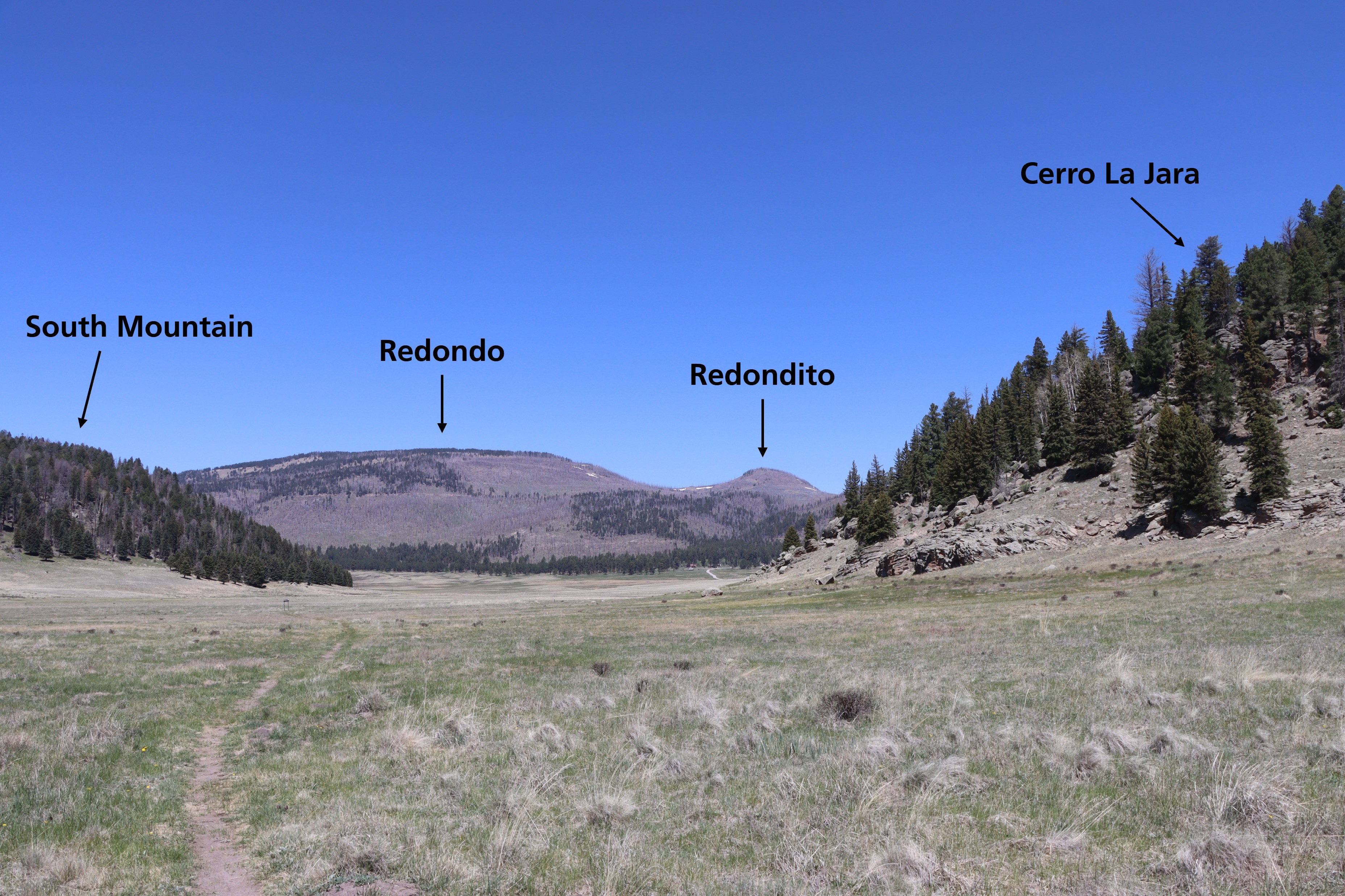 Cerro La Jara Stop 5HikingPhoto: NPS0.1 mi
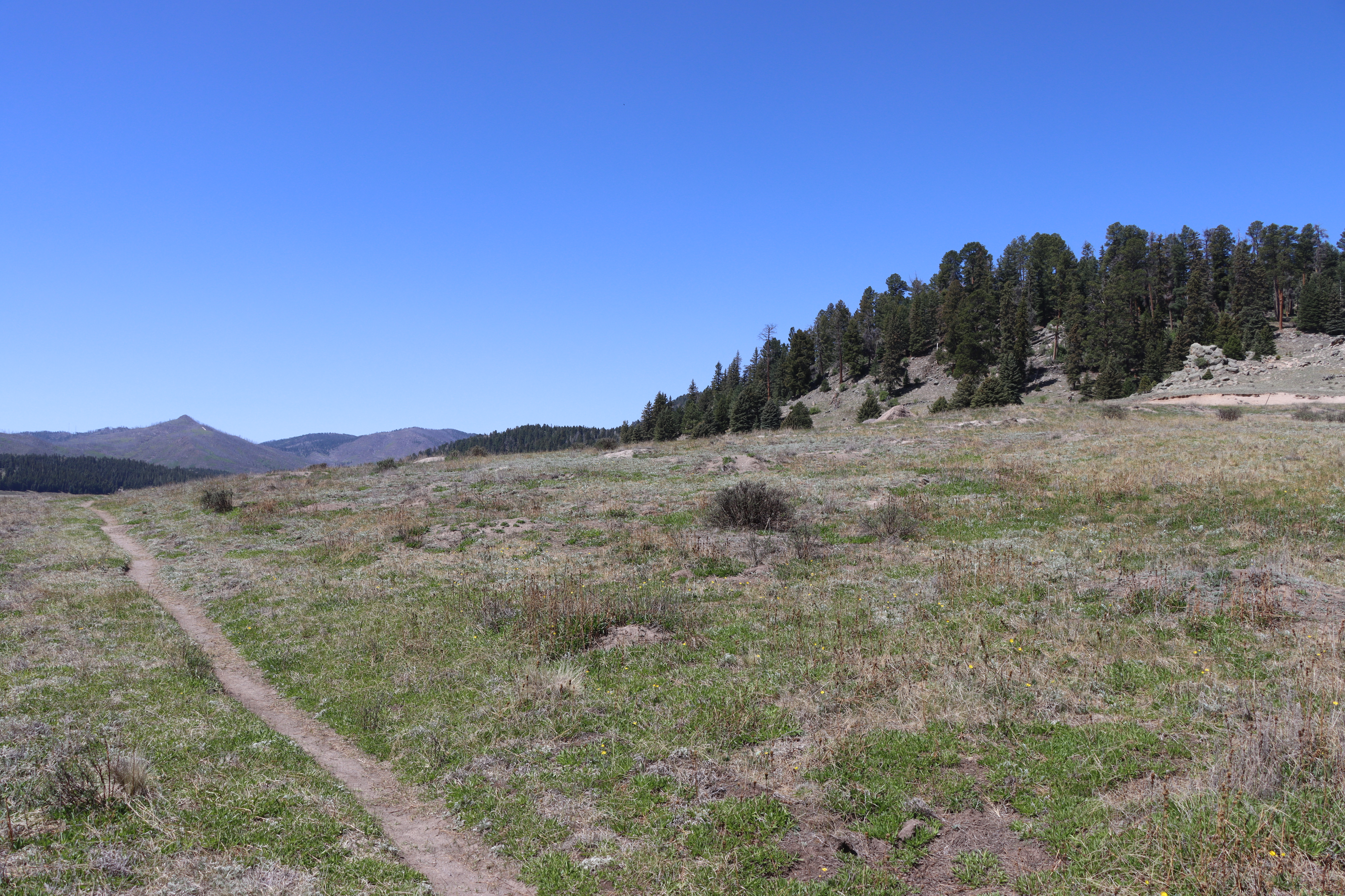 Cerro La Jara Stop 2HikingPhoto: NPS0.2 mi
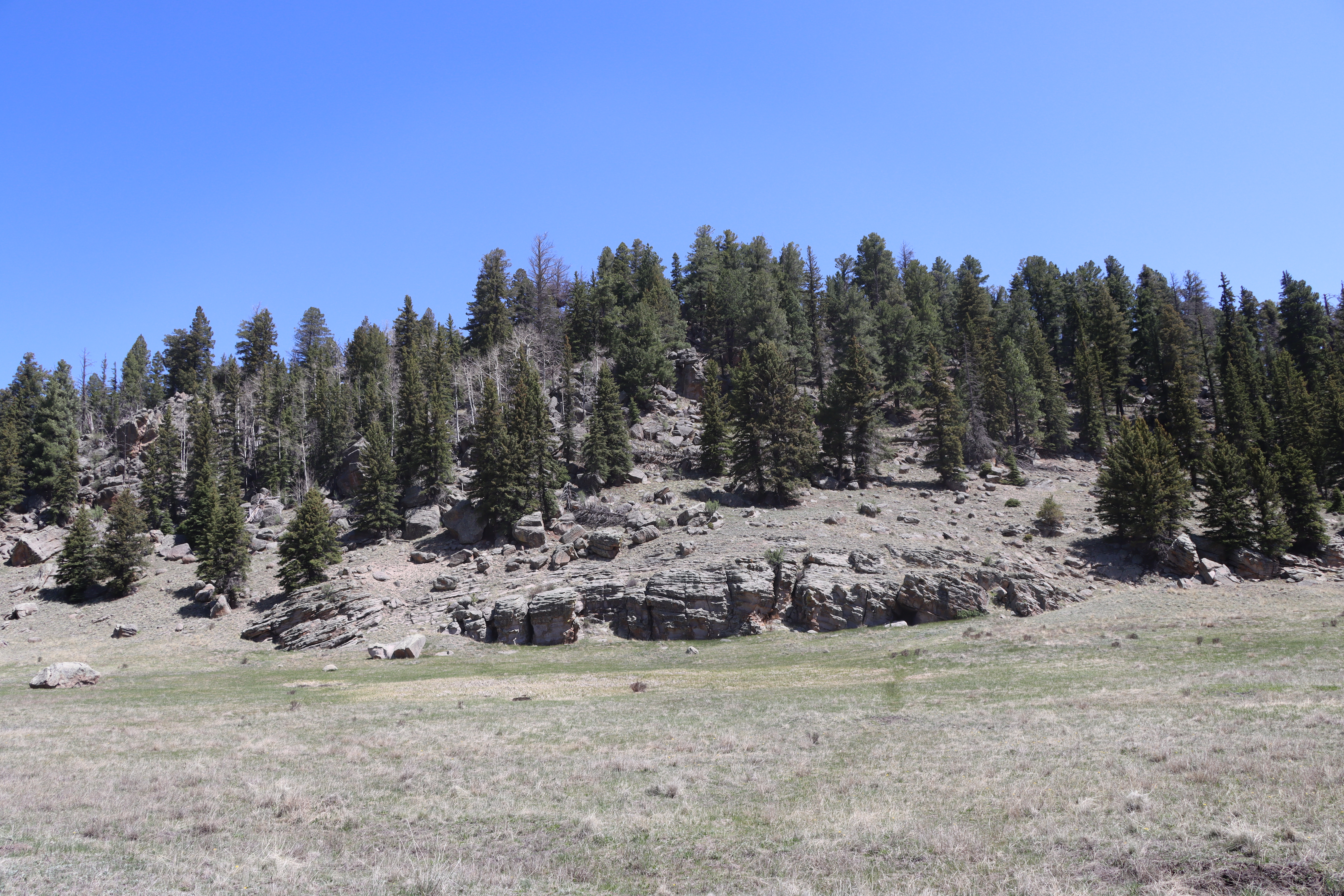 Cerro La Jara Stop 6HikingPhoto: NPS0.3 mi
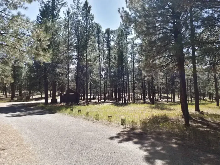 Jemez Falls CampgroundCampingPhoto: Recreation.gov (RIDB) / public domain6.8 mi
Source: Roamze catalog (indexable pages within 10 miles, PostGIS distance)
 Pond TrailHiking · Next doorPhoto: cogdogblog, CC0 (via Wikimedia Commons)
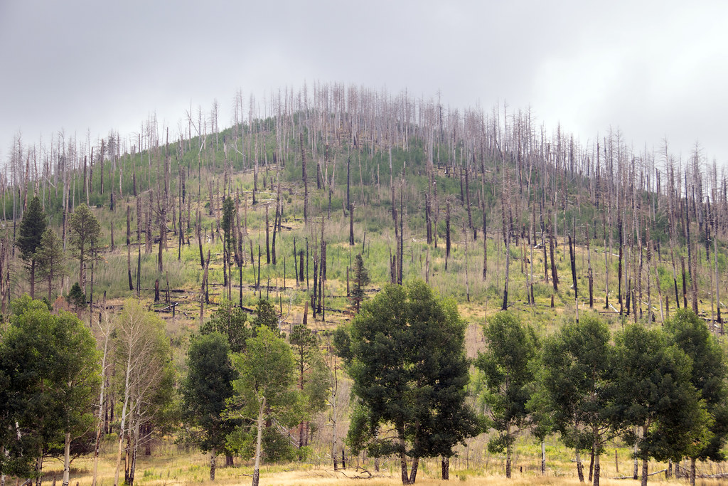 Coyote Call TrailHiking · ~3 min drivePhoto: Paul and Jill, CC BY 2.0 (via Flickr)
 Cerro La Jara TrailHiking · Next doorPhoto: Ken Lund from Reno, Nevada, USA, CC BY-SA 2.0 (via Wikimedia Commons)
Best months: May–June and September. Best months have typical highs of 55–85 °F, lows of 30 °F or warmer (32 °F where the station doesn't record snow), at most one snowy day and no more than 12 wet days.
Jan
36° / 9°
9 wet
Feb
38° / 12°
9 wet
Mar
44° / 20°
9 wet
Apr
52° / 25°
8 wet
May
62° / 32°
8 wet
Jun
72° / 39°
8 wet
Jul
74° / 45°
15 wet
Aug
71° / 43°
15 wet
Sep
66° / 35°
11 wet
Oct
57° / 26°
7 wet
Nov
45° / 17°
6 wet
Dec
36° / 9°
9 wet
Typical high / low (°F) and days with rain or snow, 1991–2020. Measured at Los Alamos 13 W, NM, 1.6 mi away at 8,716 ft. This station doesn't record snowfall. Source: NOAA NCEI U.S. Climate Normals 1991–2020.
