Camp May
Campground
Campground · 6.1 mi from the trail
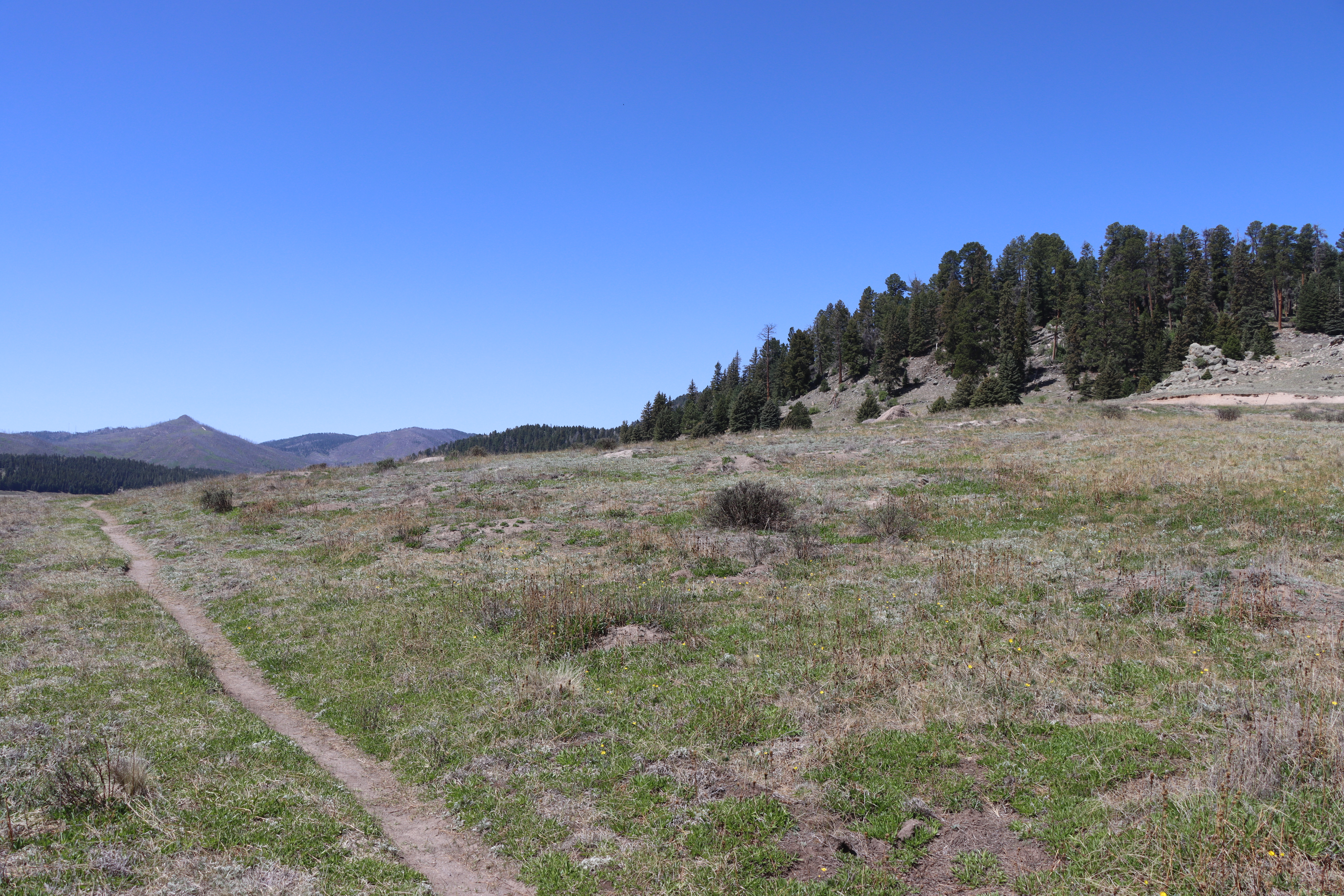 Photo: NPS
No closures listed
The National Park Service lists no closures for Valles Caldera National Preserve.
As of · Source: NPS · Valles Caldera National Preserve. Agencies don't list every closure — check before you go.
As you walked, you probably noticed that you are walking in a large valley and there are rounded hills or mountains in the distance, behind you, and to your right. You are walking in a volcanic caldera – a depression formed during a volcanic eruption. This caldera was formed as the result of a very large volcanic eruption about 1.2 million years ago. It is somewhat circular in shape and 12 to 15 miles across. Before the eruption, a large magma chamber existed deep underground, beneath where you are now standing. Pressure from the hot magma and gas built up to the point where the ground began to shake and crack along a circular fault system called a ring fracture. Gasses and tons of volcanic ash exploded thousands of feet into the air along the fracture. As the magma chamber emptied, there was nothing to support the ground surface and it collapsed downward several thousand feet forming a circular caldera – Valles Caldera. The lava, gas and volcanic ash formed hot, fast-moving flows that filled the caldera and blanketed the surrounding countryside with 300 cubic kilometers – or 75 cubic miles of material. The temperature of the flow would have been more than 900 degrees Fahrenheit and its speed would have been around 65 miles per hour. The mixture cooled and hardened into an ash-flow tuff or ignimbrite. We now call it the upper Bandelier Tuff. The airborne ash traveled for hundreds of miles and has been found as far away as Wyoming and Nebraska. As you continue to walk on the trail toward Stop 3, notice the wide valley and imagine it without any mountains or hills. When the caldera was first formed they were not present. They erupted much later. Mientras caminabas, probablemente te diste cuenta de que estás caminando en un gran valle y que hay colinas o montañas redondeadas en la distancia, detrás de ti y a tu derecha. Estás caminando en una caldera volcánica, una depresión formada durante una erupción volcánica. Esta caldera se formó como resultado de una erupción volcánica muy grande hace aproximadamente 1.2 millones de años. Tiene una forma algo circular y mide entre 19 y 24 kilómetros de diámetro. Antes de la erupción, existía una gran cámara magmática en las profundidades del subsuelo, debajo del lugar donde te encuentras ahora. La presión del magma caliente y el gas se acumuló hasta el punto en que el suelo comenzó a temblar y agrietarse a lo largo de un sistema de fallas circulares llamado fractura anular. Los gases y toneladas de ceniza volcánica explotaron a miles de pies de altura a lo largo de la fractura. A medida que la cámara magmática se vació, no hubo nada que sostuviera la superficie del suelo y se derrumbó miles de pies hacia abajo, formando una caldera circular: la caldera de Valles. La lava, el gas y la ceniza volcánica formaron flujos calientes y rápidos que llenaron la caldera y cubrieron el campo circundante con 300 kilómetros cúbicos, o 75 millas cúbicas, de material. La temperatura del flujo habría sido de más de 900 grados Fahrenheit y su velocidad habría sido de alrededor de 65 millas por hora. La mezcla se enfrió y se endureció formando una toba volcánica o ignimbrita. Ahora la llamamos la toba superior de Bandelier. Las cenizas transportadas por el aire recorrieron cientos de kilómetros y se han encontrado en lugares tan lejanos como Wyoming y Nebraska. Mientras continúa caminando por el sendero hacia la parada 3, observe elvalle amplio e imagínelo sin montañas ni colinas. Cuando se formó la caldera, estas no existían. Surgieron mucho más tarde.
Camp May
Campground
Places © OpenStreetMap contributors
More in Santo Domingo PuebloNot on Roamze yet. Their page has how to reach them.
Best months: May–June and September. Best months have typical highs of 55–85 °F, lows of 30 °F or warmer (32 °F where the station doesn't record snow), at most one snowy day and no more than 12 wet days.
Jan
36° / 9°
9 wet
Feb
38° / 12°
9 wet
Mar
44° / 20°
9 wet
Apr
52° / 25°
8 wet
May
62° / 32°
8 wet
Jun
72° / 39°
8 wet
Jul
74° / 45°
15 wet
Aug
71° / 43°
15 wet
Sep
66° / 35°
11 wet
Oct
57° / 26°
7 wet
Nov
45° / 17°
6 wet
Dec
36° / 9°
9 wet
Typical high / low (°F) and days with rain or snow, 1991–2020. Measured at Los Alamos 13 W, NM, 1.7 mi away at 8,716 ft. This station doesn't record snowfall. Source: NOAA NCEI U.S. Climate Normals 1991–2020.
 Photo: cogdogblog, CC0 (via Wikimedia Commons)
Pond Trail
Next door
0.41-mile lollipop trail in New Mexico with 4 ft elevation gain.
HIKE
Birding By Car Stop 4
Next door
At the entrance station, we are surrounded by montane grasslands. Across the road is a small, forested lava dome called Cerro La Jara. If you're looking for a short hike with lots of wildlife watching opportunities, there's a wonderful 1.4-mile loop trail around the lava dome.…
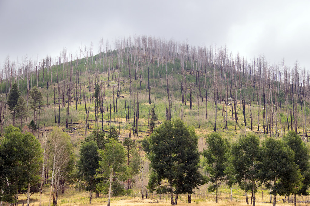 Photo: Paul and Jill, CC BY 2.0 (via Flickr)
Coyote Call Trail
~3 min drive
2.86-mile loop trail in New Mexico with 1,009 ft gain and 9,237 ft max elevation.
HIKE
Alamo Spring
~6 min drive
10.51-mile out-and-back trail in New Mexico with 355 ft elevation gain.
HIKE
Abrigo Trail
~8 min drive
11.86-mile out-and-back hike in New Mexico with 4,633 ft gain/loss
 Photo: Ken Lund from Reno, Nevada, USA, CC BY-SA 2.0 (via Wikimedia Commons)
Cerro La Jara Trail
Next door
1.33-mile loop in New Mexico with 169 ft gain and 8,601 ft max elevation.
HIKE
Cerro La Jara Stop 1
Next door
Welcome to the Cerro La Jara Trail in Valles Caldera National Preserve. This trail is about 1.5 miles (2.4 km) long and will likely take 1 to 2 hours to complete. The elevation change is small – about 50 feet. Leashed pets are permitted on this trail, but please ensure that…
HIKE
South Mountain Trail
~4 min drive
4.62-mile out-and-back hike on South Mountain in New Mexico with 820 ft elevation gain.
HIKE
Valle Trail (289)
~7 min drive
5.70-mile out-and-back trail in New Mexico with 1,179 ft of elevation gain.
 Photo: Paul and Jill, CC BY 2.0 (via Flickr)
Rabbit Ridge Trail
~3 min drive
2.12-mile out-and-back trail in New Mexico with 836 ft gain and 9,550 ft max elevation.
