Cedro Creek Trail
- 1.2 mi
- round trip
- 137 ft
- climb
- 6,557 ft
- high point
- Out and back
- route
- Apr–May, Sep–Oct
- best months
Is Cedro Creek Trail open right now?
Closure in the area
There's a closure order in Sandia Ranger District. It doesn't name Cedro Creek Trail, so check the source for the area it covers (3 listed).
Area Closure for Recreation Residence Structures and Property at 91 Casa Loma Road
Agency closure covering Sandia Ranger District · Order 03-03-05-26-14 · USFS · Sandia Ranger District
Area Closure for Recreation Residence Structures and Property at 69 Casa Loma Road
Agency closure covering Sandia Ranger District · Order 03-03-05-26-13 · USFS · Sandia Ranger District
Area Closure for Sandia Crest “Switchback” Hazard Tree and Fuel Reduction Project
Agency closure covering Sandia Ranger District · Order 03-03-05-26-02 · USFS · Sandia Ranger District
Sandia Ranger District Road & Area Closure for National Forest Road 462 Maintenance
Agency alert covering Sandia Ranger District · Order 03-03-05-26-24 · USFS · Sandia Ranger District
Mountainair and Sandia Ranger Districts Stage 1 Fire Restriction Lifted
Agency alert covering Sandia Ranger District · Order 03-03-00-26-20 · USFS · Sandia Ranger District
As of · Source: USFS · Sandia Ranger District. Agencies don't list every closure — check before you go.
Cedro Creek Trail is an easy out-and-back hike in the Sandia Ranger District of Cibola National Forest in New Mexico, managed by the Forest Service. The trail is about 2.3 miles long, with a low point of 6,467 feet and a high of 6,557 feet, and it gains about 137 feet in elevation. Spring and fall are the most comfortable times to go. Typical averages from a nearby weather station show May highs around 78°F and October highs around 68°F, while July and August bring the most wet days, about 11 each month. Several other trails start close by, including Powerline and ATV Bypass, each about 0.1 mile away, and Chamisoso at about 0.4 mile. Climbers can find the Ranger Station Wall about 0.9 mile away.
Local outfitters
- Turquoise Trail Campground6 mi away
Not on Roamze yet. Their page has how to reach them.
- PowerlineHiking0.1 mi
- Atv BypassHiking0.1 mi
- Concrete TrailHiking0.3 mi
- ChamisosoHiking0.4 mi
- Ranger Station WallRock climbing0.9 mi
- Bouldering CaveRock climbing2.1 mi
- Big BlockRock climbing2.1 mi
- Block WallRock climbing2.2 mi
Source: Roamze catalog (indexable pages within 10 miles, PostGIS distance)
 JackalopeHiking · ~2 min drivePhoto: killbox, CC BY 2.0 (via Flickr)
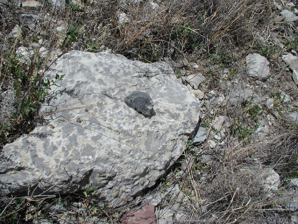 West RidgeHiking · ~3 min drivePhoto: killbox, CC BY 2.0 (via Flickr)
- Cedro Creek InterpretiveHiking · ~3 min drivePhoto: killbox, CC BY 2.0 (via Flickr)
- Birdhouse RidgeHiking · ~4 min drivePhoto: killbox, CC BY 2.0 (via Flickr)
- Otero CanyonHiking · ~3 min drivePhoto: killbox, CC BY 2.0 (via Flickr)
- ChamisosoHiking · Next door
- Cedro Creek Nature TrailHiking · ~4 min drivePhoto: killbox, CC BY 2.0 (via Flickr)
- Chamisoso Canyon RoadHiking · ~4 min drive
- Atv BypassHiking · Next door
- Hobbies TrailHiking · ~5 min drive
Best time to visit Cedro Creek Trail
Best months: April–May and September–October. Best months have typical highs of 55–85 °F, lows of 30 °F or warmer (32 °F where the station doesn't record snow), at most one snowy day and no more than 12 wet days.
Jan
45° / 26°
5 wet · 3 snow
Feb
51° / 29°
5 wet · 3 snow
Mar
60° / 35°
5 wet · 2 snow
Apr
68° / 40°
4 wet · 1 snow
May
78° / 49°
5 wet
Jun
88° / 58°
5 wet
Jul
89° / 62°
11 wet
Aug
86° / 61°
11 wet
Sep
80° / 55°
8 wet
Oct
68° / 43°
6 wet
Nov
54° / 33°
5 wet · 2 snow
Dec
44° / 26°
5 wet · 3 snow
Typical high / low (°F) and days with rain or snow, 1991–2020. Measured at Albuquerque Foothills Ne, NM, 8.4 mi away at 5,994 ft. The station sits about 600 ft lower than this place, so expect it a little cooler here. Source: NOAA NCEI U.S. Climate Normals 1991–2020.
Map and trail data © OpenStreetMap contributors
