Cdt Jrm
- 3.0 mi
- round trip
- 93 ft
- climb
- 4,994 ft
- high point
- Out and back
- route
- Mar–May, Sep–Nov
- best months
Cdt Jrm is a 6.1-mile out-and-back hike on state trust land in New Mexico, managed by the State Land Board. The route rises about 93 feet from a low point of 4,908 feet to a high of 4,994 feet, and it is rated moderate. Spring and fall are the most comfortable times to go. Typical averages from the nearby Faywood weather station show April highs around 75°F and October highs around 76°F, while July and August average highs near 91°F with more wet days. The Cdt hike lies about 2.8 miles away, and Cookes Peak Trail is about 9.1 miles off.
Local outfitters
- Silver City RV Park43 mi away
Not on Roamze yet. Their page has how to reach them.
Best time to go · Mar–May, Sep–Nov
Best time to visit Cdt Jrm
Best months: March–May and September–November. Best months have typical highs of 55–85 °F, lows of 30 °F or warmer (32 °F where the station doesn't record snow), at most one snowy day and no more than 12 wet days.
Jan
56° / 27°
3 wet
Feb
60° / 29°
3 wet
Mar
68° / 34°
2 wet
Apr
75° / 39°
1 wet
May
83° / 46°
2 wet
Jun
92° / 56°
3 wet
Jul
91° / 61°
8 wet
Aug
88° / 60°
8 wet
Sep
84° / 54°
5 wet
Oct
76° / 44°
4 wet
Nov
64° / 34°
3 wet
Dec
56° / 27°
3 wet
Typical high / low (°F) and days with rain or snow, 1991–2020. Measured at Faywood, NM, 18.2 mi away at 5,251 ft. This station doesn't record snowfall. Source: NOAA NCEI U.S. Climate Normals 1991–2020.
Keep exploring — more trails worth the drive
 Photo: theforestprimeval, CC BY-SA 2.0 (via Flickr)
Frying Pan Spring Trail
~22 min drive
1.36-mile out-and-back hike to Frying Pan Spring in New Mexico with 215 ft of elevation gain.
Photo: theforestprimeval, CC BY-SA 2.0 (via Flickr)Butterfield Trail
~23 min drive
4.06-mile out-and-back hike in New Mexico with 291 ft gain.
 Photo: Patrick Alexander from Las Cruces, NM, CC0 (via Wikimedia Commons)
Black Range Crest Trail #79
~33 min drive
6.47-mile out-and-back hike in New Mexico with 2,759 ft of elevation gain.
Photo: Patrick Alexander from Las Cruces, NM, CC0 (via Wikimedia Commons)Royal John Mine Road
~33 min drive
1.84-mile out-and-back trail with 1,463 ft gain in New Mexico.
 Photo: Patrick Alexander from Las Cruces, NM, CC0 (via Wikimedia Commons)
Cdt
~36 min drive
2.50-mile out-and-back trail in New Mexico with 257 ft gain
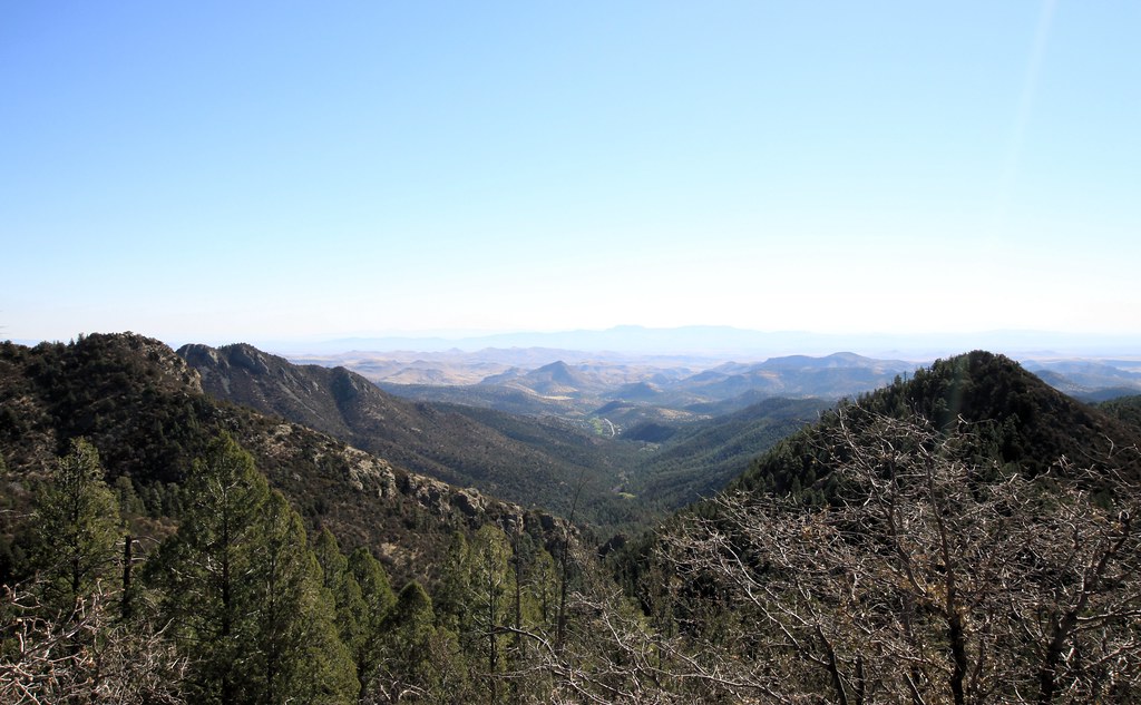 Photo: uıɐɾ ʞ ʇɐɯɐs, CC BY-SA 2.0 (via Flickr)
Scenic Trail
~41 min drive
8.32-mile out-and-back trail in New Mexico with 3,231 ft gain/loss.
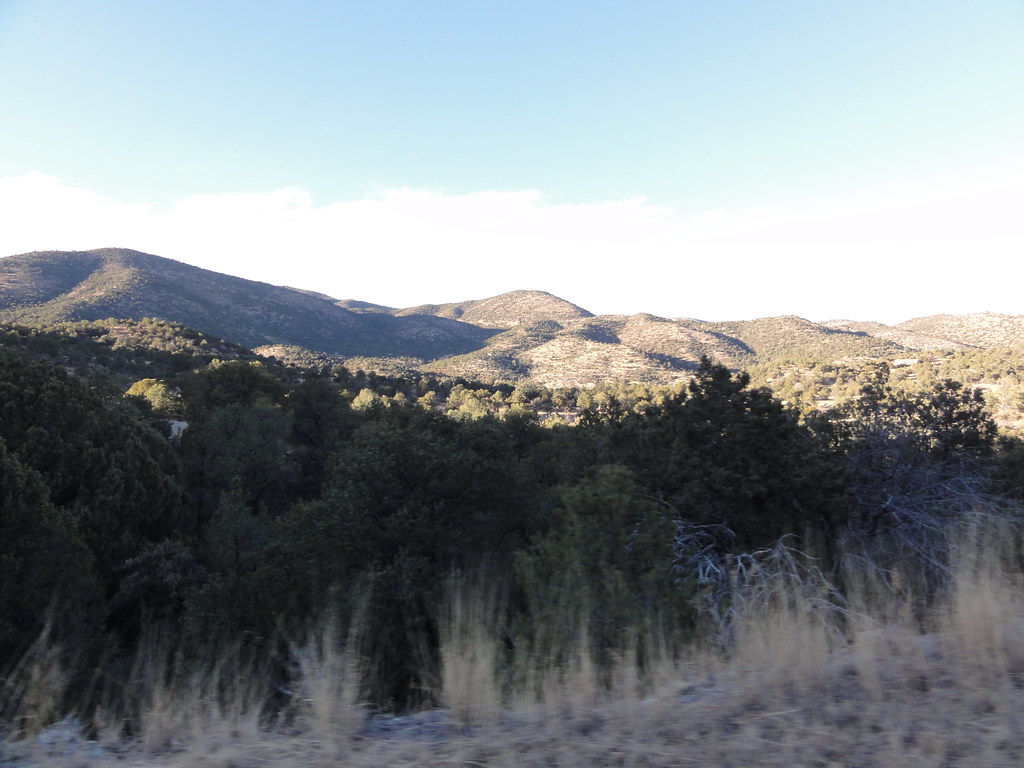 Photo: ossguy, CC BY-SA 2.0 (via Flickr)
Iron
~40 min drive
Easy 1.18-mile out-and-back hike in Iron, New Mexico.
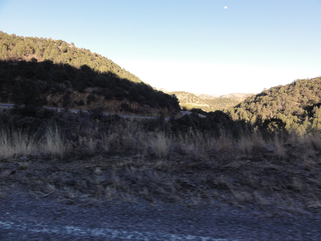 Photo: ossguy, CC BY-SA 2.0 (via Flickr)
SCENIC TRAIL
~39 min drive
2.78-mile out-and-back trail in New Mexico with 1,337 ft elevation gain and loss.
HIKE
Cookes Peak Trail
~16 min drive
3.53-mile out-and-back hike to Cookes Peak in New Mexico with 3,237 ft of elevation gain.
Photo: uıɐɾ ʞ ʇɐɯɐs, CC BY-SA 2.0 (via Flickr)Cdt Jov
~41 min drive
0.26-mile out-and-back trail in New Mexico with 158 ft of elevation gain.
Map and trail data © OpenStreetMap contributors
