Jemez Falls Campground
Campground
Campground · 6.9 mi from the trail
Closure in the area
There's a closure order in Jemez Ranger District. It doesn't name Bearhead Ridge, so check the source for the area it covers.
NFSR 313 Closed Due to Washout Near NM Highway 12
Agency closure covering Jemez Ranger District · USFS · Jemez Ranger District
Road Conditions
Agency alert covering Santa Fe National Forest · USFS · Santa Fe National Forest
Gilman Tunnels closed due to rockslide
Agency alert covering Jemez Ranger District · USFS · Jemez Ranger District
As of · Source: USFS · Jemez Ranger District. Agencies don't list every closure — check before you go.
Bearhead Ridge is a hard hike in the Jemez Ranger District of the Santa Fe National Forest in New Mexico, managed by the Forest Service. The route is an out-and-back of about 7 miles, with a one-way elevation gain of 1,311 feet, taking you from a low point of about 8,030 feet to a high of about 9,237 feet. The trail is natural-surfaced and allows bikes, so it works for hikers and riders alike. It is open year-round, and the nearest town is Los Alamos, about 6 miles away. Summer is the most comfortable time to go. Typical averages from a nearby weather station at Los Alamos show July highs around 74°F with lows near 45°F, while winter highs stay in the mid-30s. Peralta Canyon is less than a mile away, and Bearhead Peak is about 3 miles off. Climbers can head to Area 37, about 3.5 miles away, and Jemez Falls Campground is roughly 7 miles from the trail.
Jemez Falls Campground
Campground
Stone Kiva Restaurant
American restaurant
Places © Overture Maps Foundation
More in Santo Domingo PuebloNot on Roamze yet. Their page has how to reach them.
Daily highs and lows, wind and the chance of precipitation at the summit and route start for the next 7 days, from the Open-Meteo model.
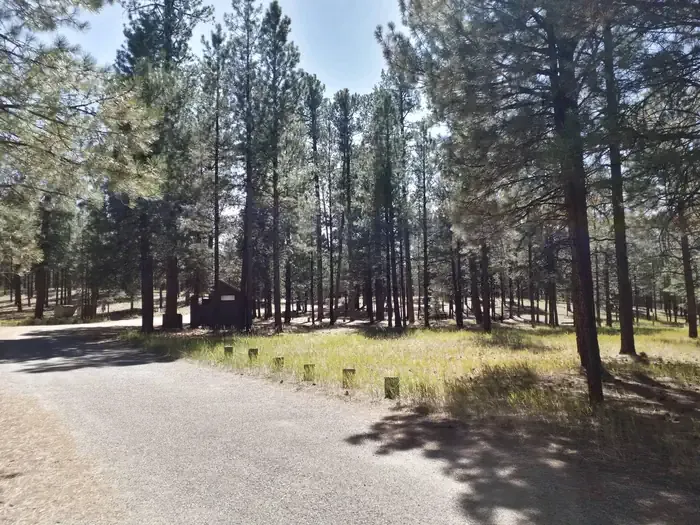 Jemez Falls CampgroundCampingPhoto: Recreation.gov (RIDB) / public domain6.9 mi
Source: Roamze catalog (indexable pages within 10 miles, PostGIS distance)
 North East ForkHiking · ~6 min drivePhoto: Paul and Jill, CC BY 2.0 (via Flickr)
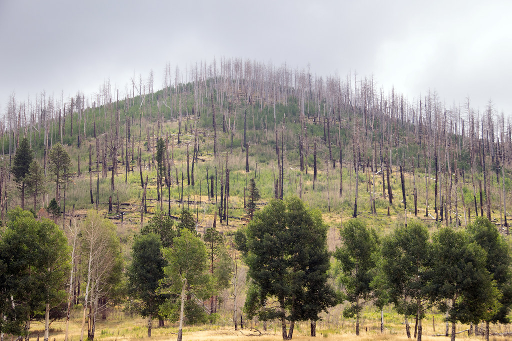 Coyote Call TrailHiking · ~10 min drivePhoto: Paul and Jill, CC BY 2.0 (via Flickr)
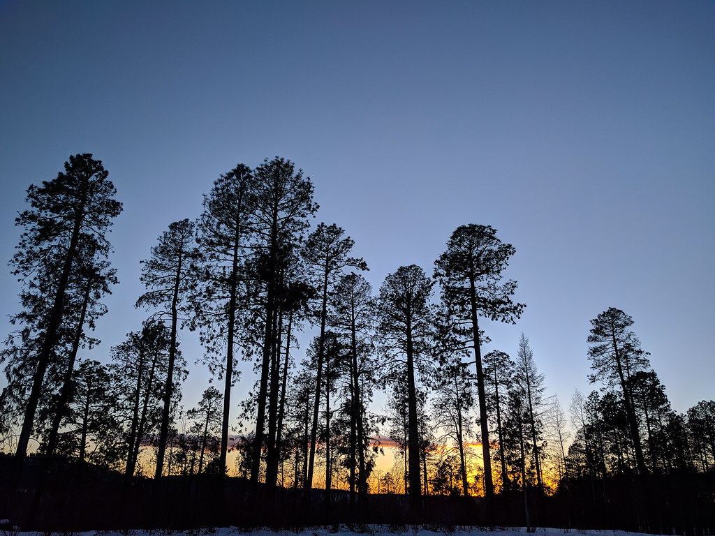 East Fork Trail (137)Hiking · ~8 min drivePhoto: RuggyBearLA, CC BY 2.0 (via Flickr)
 Rabbit Ridge TrailHiking · ~9 min drivePhoto: Paul and Jill, CC BY 2.0 (via Flickr)
Best months: May–June and September. Best months have typical highs of 55–85 °F, lows of 30 °F or warmer (32 °F where the station doesn't record snow), at most one snowy day and no more than 12 wet days.
Jan
36° / 9°
9 wet
Feb
38° / 12°
9 wet
Mar
44° / 20°
9 wet
Apr
52° / 25°
8 wet
May
62° / 32°
8 wet
Jun
72° / 39°
8 wet
Jul
74° / 45°
15 wet
Aug
71° / 43°
15 wet
Sep
66° / 35°
11 wet
Oct
57° / 26°
7 wet
Nov
45° / 17°
6 wet
Dec
36° / 9°
9 wet
Typical high / low (°F) and days with rain or snow, 1991–2020. Measured at Los Alamos 13 W, NM, 6.3 mi away at 8,716 ft. The station sits about 500 ft lower than this place, so expect it a little cooler here. This station doesn't record snowfall. Source: NOAA NCEI U.S. Climate Normals 1991–2020.
Season: Year-round.
About 7.1 mi round trip.
About 1,311 ft of climbing round trip.
It is rated hard.
Year-round.

