Camp May
Campground
Campground · 5.3 mi from the trail
 Photo: Paul and Jill, CC BY 2.0 (via Flickr)
No closures listed
The National Park Service lists no closures for Valles Caldera National Preserve.
As of · Source: NPS · Valles Caldera National Preserve. Agencies don't list every closure — check before you go.
Rabbit Ridge Trail is a short, easy out-and-back hike in Valles Caldera National Preserve in New Mexico, managed by the National Park Service. The trail is about 2 miles long, with a total elevation gain of 836 feet, and it reaches a high point of 9,550 feet. The climb is front-loaded, with the steepest stretch at about 0.3 miles from the start, where the grade reaches 19 percent. The most comfortable months for a visit are typically June through September, when typical averages from a nearby weather station at Los Alamos run from highs around 72°F in June to about 74°F in July, with July and August bringing the most wet days. That station sits roughly 800 feet below the trail, so temperatures on the ridge run cooler. The hike takes about an hour. Coyote Call Trail is about 0.4 miles away, and Scooter Peak Trail is about 1.4 miles away. Climbers can find Rabbit Rock about 3 miles off, and Jemez Falls Campground is about 8 miles away.
Camp May
Campground
Stone Kiva Restaurant
American restaurant
Places © Overture Maps Foundation
More in Santo Domingo PuebloNot on Roamze yet. Their page has how to reach them.
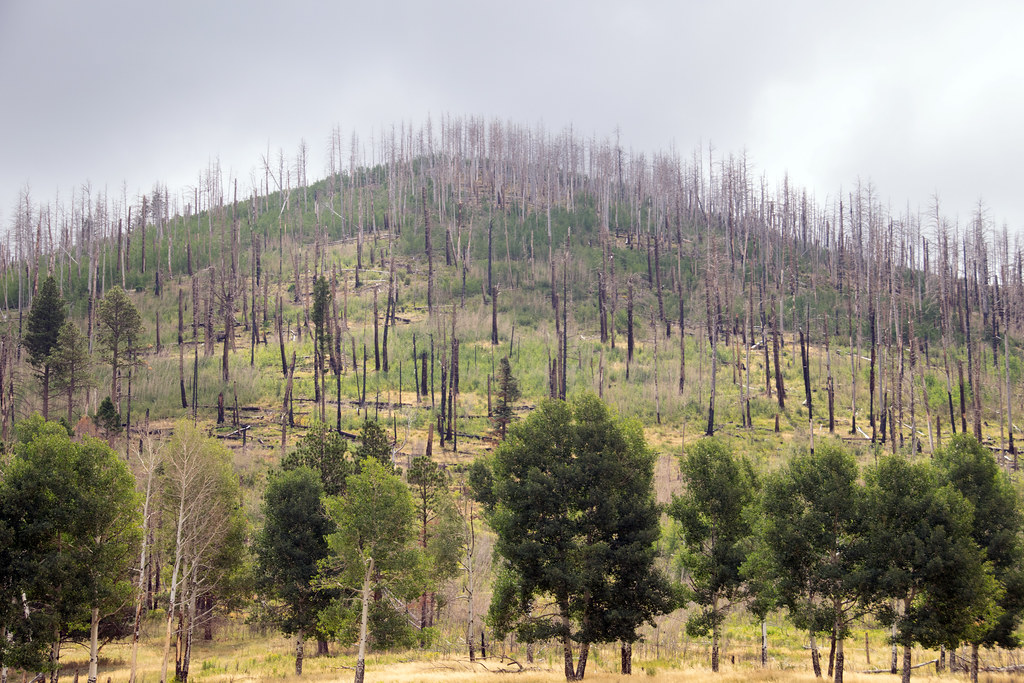 Coyote Call TrailHikingPhoto: Paul and Jill, CC BY 2.0 (via Flickr)0.4 mi
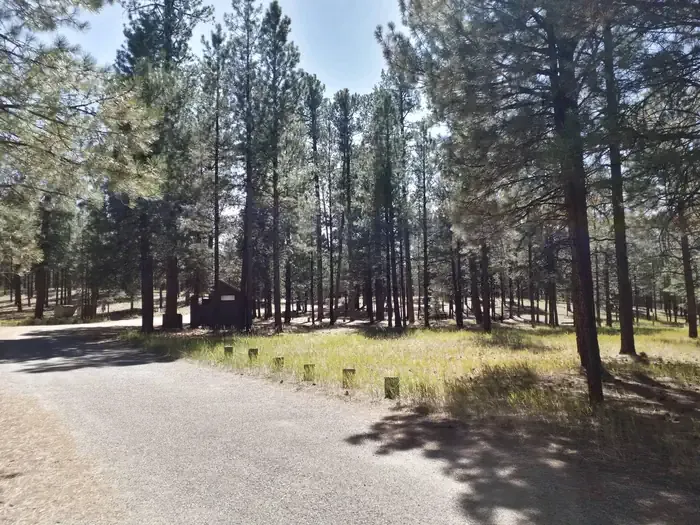 Jemez Falls CampgroundCampingPhoto: Recreation.gov (RIDB) / public domain8.2 mi
Source: Roamze catalog (indexable pages within 10 miles, PostGIS distance)
 Pond TrailHiking · ~3 min drivePhoto: cogdogblog, CC0 (via Wikimedia Commons)Coyote Call TrailHiking · Next doorPhoto: Paul and Jill, CC BY 2.0 (via Flickr)
 Cerro La Jara TrailHiking · ~3 min drivePhoto: Ken Lund from Reno, Nevada, USA, CC BY-SA 2.0 (via Wikimedia Commons)
 Valle Grande TrailHiking · ~3 min drivePhoto: Paul and Jill, CC BY 2.0 (via Flickr)
Best months: May–June and September. Best months have typical highs of 55–85 °F, lows of 30 °F or warmer (32 °F where the station doesn't record snow), at most one snowy day and no more than 12 wet days.
Jan
36° / 9°
9 wet
Feb
38° / 12°
9 wet
Mar
44° / 20°
9 wet
Apr
52° / 25°
8 wet
May
62° / 32°
8 wet
Jun
72° / 39°
8 wet
Jul
74° / 45°
15 wet
Aug
71° / 43°
15 wet
Sep
66° / 35°
11 wet
Oct
57° / 26°
7 wet
Nov
45° / 17°
6 wet
Dec
36° / 9°
9 wet
Typical high / low (°F) and days with rain or snow, 1991–2020. Measured at Los Alamos 13 W, NM, 3.4 mi away at 8,716 ft. The station sits about 800 ft lower than this place, so expect it a little cooler here. This station doesn't record snowfall. Source: NOAA NCEI U.S. Climate Normals 1991–2020.
Map and trail data © OpenStreetMap contributors
