Lookout Park
Campground
Campground · 5.5 mi from the trail
Closure in the area
There's a closure order in Jemez Ranger District. It doesn't name Medio Dia, so check the source for the area it covers.
NFSR 313 Closed Due to Washout Near NM Highway 12
Agency closure covering Jemez Ranger District · USFS · Jemez Ranger District
Road Conditions
Agency alert covering Santa Fe National Forest · USFS · Santa Fe National Forest
Gilman Tunnels closed due to rockslide
Agency alert covering Jemez Ranger District · USFS · Jemez Ranger District
As of · Source: USFS · Jemez Ranger District. Agencies don't list every closure — check before you go.
Medio Dia is an out-and-back hike of about 8.4 miles in the Jemez Ranger District of the Santa Fe National Forest in New Mexico. The trail rises from a low point of about 6,347 feet to a high of about 7,526 feet, with a total elevation gain of about 1,170 feet. It is a hard hike, and the route is natural-surfaced, so plan on a rougher walk than a smooth trail. For comfortable weather, aim for late spring or early fall. Typical averages from the nearby Los Alamos weather station show May highs around 70°F and September highs around 74°F, while July and August bring the most wet days, about 13 to 14 a month. Bikes are allowed on the trail. Bearhead Peak and Bearhead Ridge are both within about 3 miles, and Peralta Canyon is about 3.6 miles away. Jemez Falls Campground, about 9.7 miles off, is the closest place to camp.
Lookout Park
Campground
Stone Kiva Restaurant
American restaurant
 If it rainsNewMexicophotographer1, CC BY-SA 4.0 · Wikimedia Commons
Places © OpenStreetMap contributors, Places © Overture Maps Foundation · Photos: NewMexicophotographer1, CC BY-SA 4.0 (commons)
More in Santo Domingo PuebloNot on Roamze yet. Their page has how to reach them.
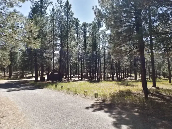 Jemez Falls CampgroundCampingPhoto: Recreation.gov (RIDB) / public domain9.7 mi
Source: Roamze catalog (indexable pages within 10 miles, PostGIS distance)
 North East ForkHiking · ~10 min drivePhoto: Paul and Jill, CC BY 2.0 (via Flickr)
 Slot Canyon TrailHiking · ~12 min drivePhoto: Matt Lavin, CC BY-SA 2.0 (via Flickr)
 Rabbit Ridge TrailHiking · ~11 min drivePhoto: Paul and Jill, CC BY 2.0 (via Flickr)
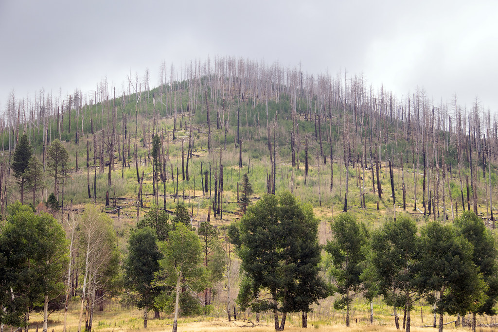 Coyote Call TrailHiking · ~11 min drivePhoto: Paul and Jill, CC BY 2.0 (via Flickr)
 Cave Loop TrailHiking · ~12 min drivePhoto: Jordan Meeter, CC BY-SA 3.0 (via Wikimedia Commons)
Best months: April–June and September–October. Best months have typical highs of 55–85 °F, lows of 30 °F or warmer (32 °F where the station doesn't record snow), at most one snowy day and no more than 12 wet days.
Jan
40° / 21°
6 wet
Feb
45° / 24°
6 wet
Mar
53° / 30°
7 wet
Apr
61° / 35°
6 wet
May
70° / 44°
6 wet
Jun
81° / 53°
7 wet
Jul
83° / 57°
13 wet
Aug
80° / 55°
14 wet
Sep
74° / 49°
9 wet
Oct
63° / 38°
6 wet
Nov
50° / 28°
5 wet
Dec
40° / 21°
6 wet
Typical high / low (°F) and days with rain or snow, 1991–2020. Measured at Los Alamos, NM, 10.6 mi away at 7,424 ft. This station doesn't record snowfall. Source: NOAA NCEI U.S. Climate Normals 1991–2020.
