Shotwell Camping Area
Campground
Campground · 1.2 mi from the trail
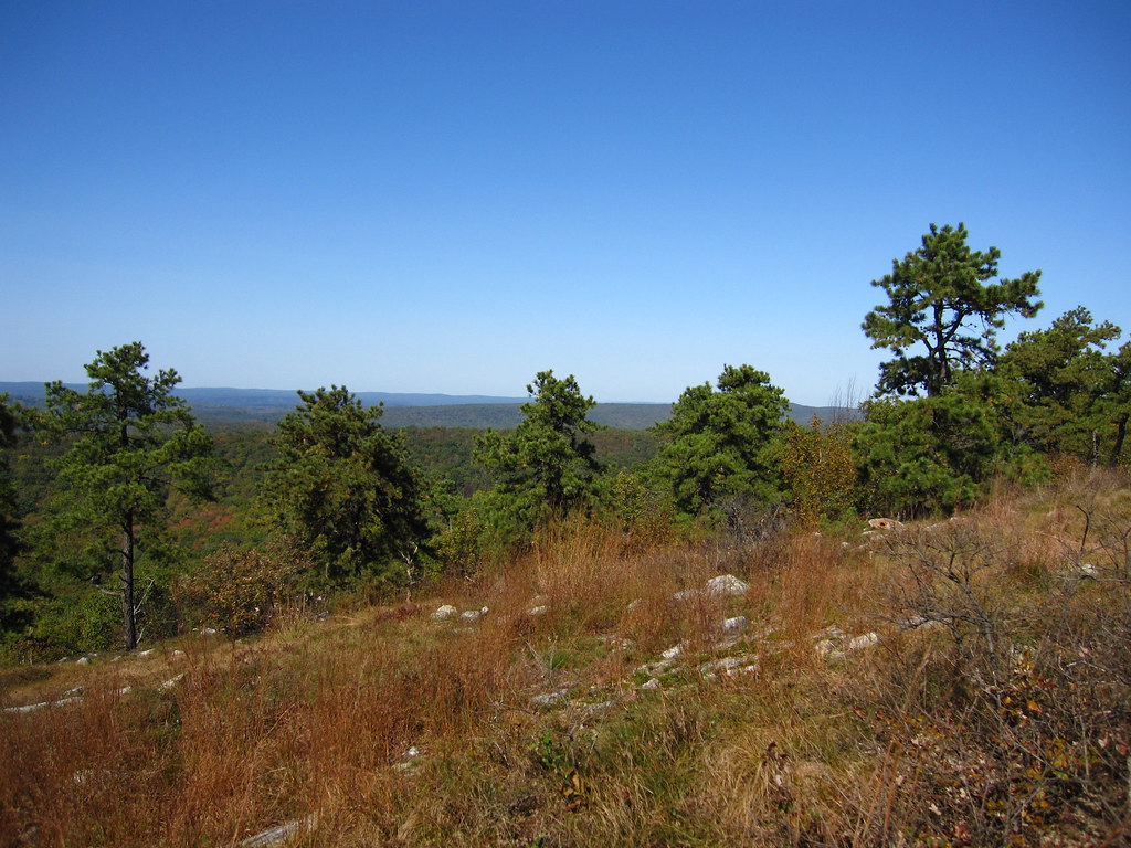 Photo: cm195902, CC BY 2.0 (via Flickr)
Stony Lake Trail is a short, easy hike in Stokes State Forest in New Jersey, managed by the State Department of Natural Resources. The trail is 0.67 miles long, with a total elevation gain of 12 feet, so it's a gentle walk that can be done in a single outing. The route is a point-to-point path, and the climb is mild. The highest point is 919 feet, and the steepest stretch comes at about 0.51 miles in, with a grade of 6 percent. Bikes and horses are both allowed, which makes it a flexible option for riders and equestrians. For comfortable weather, late spring and early fall are the best bets. Typical averages from a nearby weather station show May highs around 71°F and September highs around 74°F, with July the warmest month at about 83°F. Several other trails sit close by. Coursen Trail, a mountain biking route, is just 0.1 mile away, and Lead Mine Trail and Tower Trail are both within a mile. High Point State Park, about 9 miles off, offers climbing.
Shotwell Camping Area
Campground
 If it rainsZeete, CC BY-SA 4.0 · Wikimedia Commons
Zinc mine and museum in Ogdensburg, New Jersey
Places © OpenStreetMap contributors, Places © Overture Maps Foundation · Photos: Zeete, CC BY-SA 4.0 (commons)
More in Hackettstown Lead Mine TrailHikingPhoto: Garden State Hiker, CC BY 2.0 (via Flickr)0.6 miStony Brook TrailHikingPhoto: cm195902, CC BY 2.0 (via Flickr)1 mi
 Geology TrailHikingPhoto: j-dub1980(THANK YOU FOR 100k+ Views), CC BY-SA 2.0 (via Flickr)1.9 mi
Source: Roamze catalog (indexable pages within 10 miles, PostGIS distance)
Lead Mine TrailHiking · ~1 min drivePhoto: Garden State Hiker, CC BY 2.0 (via Flickr)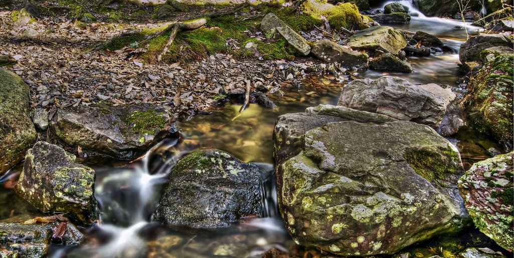 Steffen TrailHiking · ~5 min drivePhoto: j-dub1980(THANK YOU FOR 100k+ Views), CC BY-SA 2.0 (via Flickr)Stony Brook TrailHiking · ~2 min drivePhoto: cm195902, CC BY 2.0 (via Flickr)Geology TrailHiking · ~3 min drivePhoto: j-dub1980(THANK YOU FOR 100k+ Views), CC BY-SA 2.0 (via Flickr)Tinsley TrailHiking · ~4 min drivePhoto: j-dub1980(THANK YOU FOR 100k+ Views), CC BY-SA 2.0 (via Flickr)Swenson TrailHiking · ~4 min drivePhoto: j-dub1980(THANK YOU FOR 100k+ Views), CC BY-SA 2.0 (via Flickr)Red Maple TrailHiking · ~5 min drivePhoto: j-dub1980(THANK YOU FOR 100k+ Views), CC BY-SA 2.0 (via Flickr)
Best months: April and June–October. Best months have typical highs of 55–85 °F, lows of 30 °F or warmer (32 °F where the station doesn't record snow), at most one snowy day and no more than 12 wet days.
Jan
35° / 17°
11 wet · 5 snow
Feb
38° / 18°
9 wet · 5 snow
Mar
47° / 25°
11 wet · 3 snow
Apr
60° / 36°
12 wet
May
71° / 46°
13 wet
Jun
78° / 55°
11 wet
Jul
83° / 60°
11 wet
Aug
81° / 59°
11 wet
Sep
74° / 51°
10 wet
Oct
63° / 40°
11 wet
Nov
51° / 31°
10 wet · 1 snow
Dec
40° / 23°
11 wet · 3 snow
Typical high / low (°F) and days with rain or snow, 1991–2020. Measured at Sussex 3 Wnw, NJ, 5.9 mi away at 667 ft. Source: NOAA NCEI U.S. Climate Normals 1991–2020.
Map and trail data © OpenStreetMap contributors
