Swartswood Day Use Area
Campground
Campground · 2.6 mi from the trail
Clear today
Weather is good · OpenWeather · checked 1 h ago
Willow Crest Trail is a 2.6-mile moderate hike in Swartswood State Park in New Jersey, managed by the State Department of Natural Resources. The trail rises from about 787 feet to a high point of 893 feet, with the steepest stretch at about 1.2 miles in, where the grade reaches 12 percent. Late spring and early fall are the most comfortable times to go. Typical averages from a nearby weather station in Newton, NJ, run to highs around 70°F in May and 75°F in September, while July highs average about 84°F and January highs sit near 37°F. Buttermilk Falls Trail and Emmons Path Trail are both within about 2.5 miles, and Passage Trail is about 2.9 miles away. For an overnight stay, Alosa Campsites is about 7.2 miles off.
Swartswood Day Use Area
Campground
Kathy's Restaurant
Restaurant
 If it rainsZeete, CC BY-SA 4.0 · Wikimedia Commons
Zinc mine and museum in Ogdensburg, New Jersey
Places © OpenStreetMap contributors · Photos: Zeete, CC BY-SA 4.0 (commons)
More in HackettstownNot on Roamze yet. Their page has how to reach them.
Best months: April–October. Best months have typical highs of 55–85 °F, lows of 30 °F or warmer (32 °F where the station doesn't record snow), at most one snowy day and no more than 12 wet days.
Jan
37° / 17°
Feb
40° / 19°
Mar
48° / 28°
Apr
61° / 38°
May
70° / 48°
Jun
80° / 56°
Jul
84° / 62°
Aug
83° / 60°
Sep
75° / 52°
Oct
64° / 41°
Nov
52° / 32°
Dec
41° / 24°
Typical high / low (°F) and days with rain or snow, 1991–2020. Measured at Newton, NJ, 5.8 mi away at 605 ft. This station doesn't record snowfall. Source: NOAA NCEI U.S. Climate Normals 1991–2020.
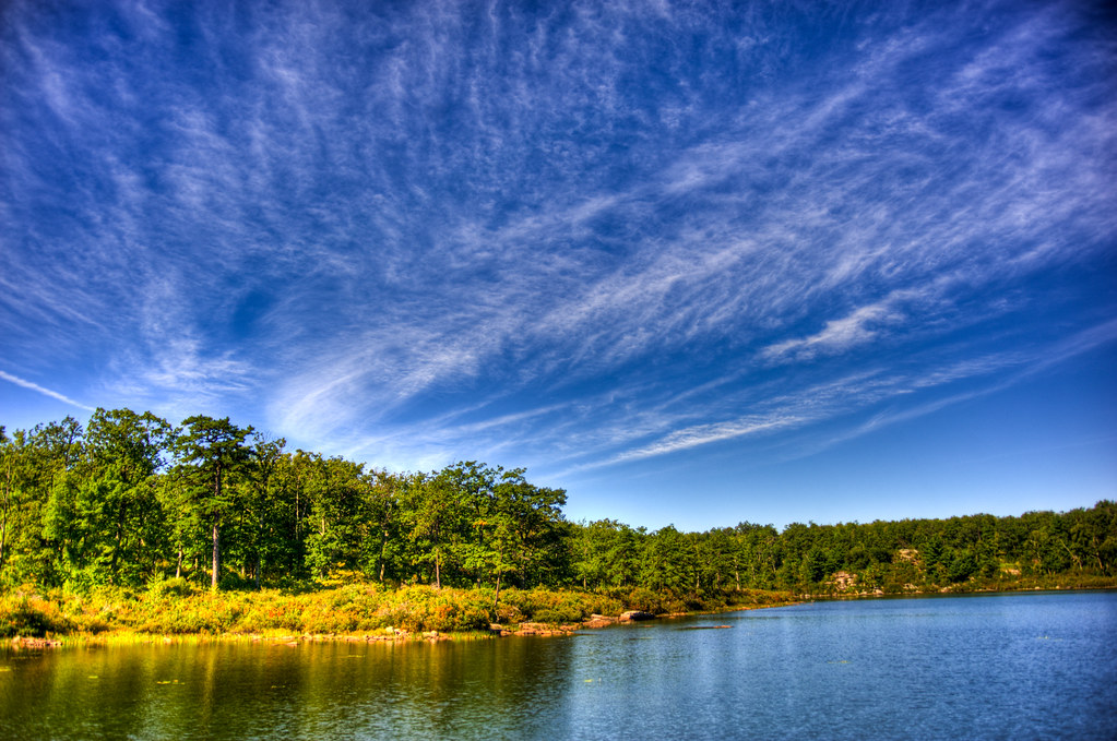 Photo: pennuja, CC BY 2.0 (via Flickr)
Buttermilk Falls Trail
~4 min drive
1.45-mile point-to-point trail in New Jersey with 1,038 ft of elevation loss
 Photo: pennuja, CC BY 2.0 (via Flickr)
Crater Lake Loop Trail
~5 min drive
Crater Lake Loop Trail is a point-to-point trail in New Jersey, 0.84 miles with 289 ft gain.
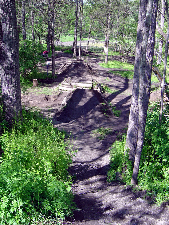 Photo: _jmeeter, CC BY-SA 2.0 (via Flickr)
Bear Claw Trail
~6 min drive
0.61-mile out-and-back trail in New Jersey with 146 ft of elevation gain.
HIKE
Blue Mt Lake Trail
~7 min drive
14.62-mile out-and-back trail in New Jersey with 1,889 ft elevation gain
Photo: pennuja, CC BY 2.0 (via Flickr)Hemlock Pond Trail
~5 min drive
0.82-mile out-and-back trail in New Jersey with 330 ft elevation gain.
Photo: pennuja, CC BY 2.0 (via Flickr)Unmaintained Trail
~6 min drive
1.78-mile out-and-back trail in New Jersey with 830 ft elevation gain
Photo: _jmeeter, CC BY-SA 2.0 (via Flickr)Limestone Trail
~6 min drive
0.48-mile out-and-back hike in New Jersey with 199 ft elevation gain.
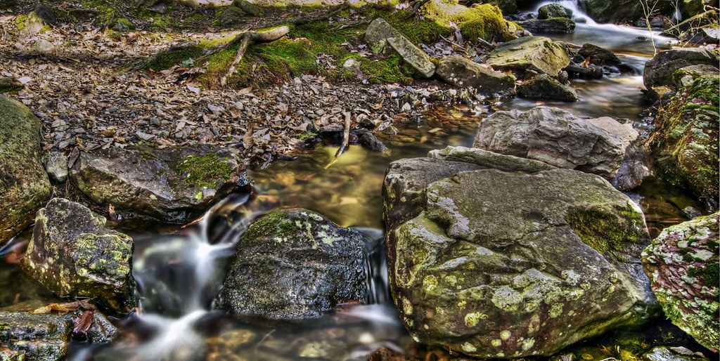 Photo: j-dub1980(THANK YOU FOR 100k+ Views), CC BY-SA 2.0 (via Flickr)
Steffen Trail
~8 min drive
Steffen Trail is a 1.25-mile point-to-point trail in New Jersey with 110 feet of elevation gain.
Photo: _jmeeter, CC BY-SA 2.0 (via Flickr)Duck Pond Trail
~6 min drive
Easy out-and-back pond walk in New Jersey.
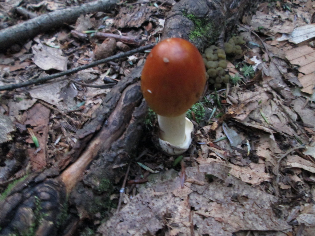 Photo: wasp7ty, CC BY 2.0 (via Flickr)
Tumbling Waters Trail
~10 min drive
Tumbling Waters Trail is a 2.78-mile trail in Pennsylvania rated SAC T2.
Map and trail data © OpenStreetMap contributors
