Shotwell Camping Area
Campground
Campground · 1.8 mi from the trail
Closure in the area
There's a closure order in Appalachian National Scenic Trail. It doesn't name Tower Trail, so check the source for the area it covers.
List of trail closures post-Hurricane Helene
Park closure covering Appalachian National Scenic Trail · NPS · Appalachian National Scenic Trail
Black Bears Frequenting the McAfee Knob Area in Virginia
Park alert covering Appalachian National Scenic Trail · NPS · Appalachian National Scenic Trail
As of · Source: NPS · Appalachian National Scenic Trail. Agencies don't list every closure — check before you go.
Tower Trail is a 1.4-mile hike in Stokes State Forest in New Jersey, set within the Appalachian National Scenic Trail corridor. The State Department of Natural Resources manages the land, and the route rises about 547 feet from a low of 927 feet to a high of 1,503 feet. It's a short outing, with the steepest stretch at the start, about 26 percent grade at 0.05 miles. The climb is point to point rather than a loop, and the trail is rated easy. Bikes and horses are both allowed. The estimated time is about half an hour, so it pairs well with another short walk or a mountain bike ride in the area. Late spring and early fall are the most comfortable times to go. Typical averages from a nearby weather station run from highs around 71°F in May to 74°F in September. That station sits roughly 800 feet lower than the trail's high point, so expect cooler temperatures on top. Coursen Trail, Stony Lake Trail and Lead Mine Trail all lie about 0.8 miles away. High Point State Park, a climbing area, is about 9 miles off.
Shotwell Camping Area
Campground
 If it rainsZeete, CC BY-SA 4.0 · Wikimedia Commons
Zinc mine and museum in Ogdensburg, New Jersey
Places © OpenStreetMap contributors, Places © Overture Maps Foundation · Photos: Zeete, CC BY-SA 4.0 (commons)
More in HackettstownNot on Roamze yet. Their page has how to reach them.
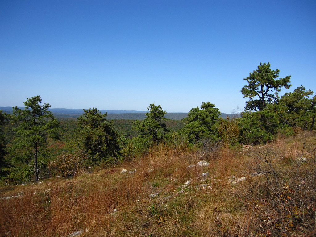 Stony Lake TrailHikingPhoto: cm195902, CC BY 2.0 (via Flickr)0.8 mi
 Lead Mine TrailHikingPhoto: Garden State Hiker, CC BY 2.0 (via Flickr)0.8 miStony Brook TrailHikingPhoto: cm195902, CC BY 2.0 (via Flickr)1 mi
 Geology TrailHikingPhoto: j-dub1980(THANK YOU FOR 100k+ Views), CC BY-SA 2.0 (via Flickr)2.1 mi
Source: Roamze catalog (indexable pages within 10 miles, PostGIS distance)
Coursen TrailHiking · ~1 min drivePhoto: cm195902, CC BY 2.0 (via Flickr)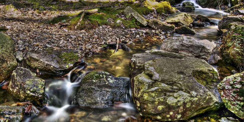 Steffen TrailHiking · ~5 min drivePhoto: j-dub1980(THANK YOU FOR 100k+ Views), CC BY-SA 2.0 (via Flickr)Stony Lake TrailHiking · ~1 min drivePhoto: cm195902, CC BY 2.0 (via Flickr)Lead Mine TrailHiking · ~1 min drivePhoto: Garden State Hiker, CC BY 2.0 (via Flickr)Stony Brook TrailHiking · ~2 min drivePhoto: cm195902, CC BY 2.0 (via Flickr)Geology TrailHiking · ~4 min drivePhoto: j-dub1980(THANK YOU FOR 100k+ Views), CC BY-SA 2.0 (via Flickr)Tinsley TrailHiking · ~4 min drivePhoto: j-dub1980(THANK YOU FOR 100k+ Views), CC BY-SA 2.0 (via Flickr)
Best months: April and June–October. Best months have typical highs of 55–85 °F, lows of 30 °F or warmer (32 °F where the station doesn't record snow), at most one snowy day and no more than 12 wet days.
Jan
35° / 17°
11 wet · 5 snow
Feb
38° / 18°
9 wet · 5 snow
Mar
47° / 25°
11 wet · 3 snow
Apr
60° / 36°
12 wet
May
71° / 46°
13 wet
Jun
78° / 55°
11 wet
Jul
83° / 60°
11 wet
Aug
81° / 59°
11 wet
Sep
74° / 51°
10 wet
Oct
63° / 40°
11 wet
Nov
51° / 31°
10 wet · 1 snow
Dec
40° / 23°
11 wet · 3 snow
Typical high / low (°F) and days with rain or snow, 1991–2020. Measured at Sussex 3 Wnw, NJ, 5.9 mi away at 667 ft. The station sits about 800 ft lower than this place, so expect it a little cooler here. Source: NOAA NCEI U.S. Climate Normals 1991–2020.
Map and trail data © OpenStreetMap contributors
