Lindley G. Cook 4-H Camp
Campground
Campground · 1.6 mi from the trail
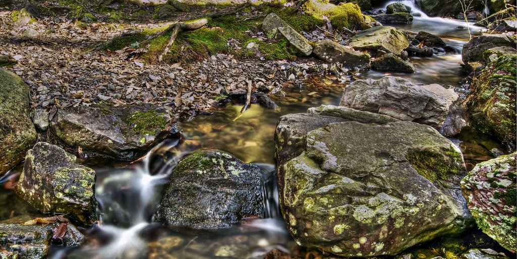 Photo: j-dub1980(THANK YOU FOR 100k+ Views), CC BY-SA 2.0 (via Flickr)
Steffen Trail is a 1.25-mile hike in Stokes State Forest in New Jersey, managed by the State Department of Natural Resources. The trail is a point-to-point route with a moderate climb, rising from about 1,144 feet to 1,161 feet at its high point and dropping to 784 feet at its low. The steepest stretch comes at about 0.88 miles in, with a 15% grade. The trail is short enough to fit into a half day. It is open to both horses and bikes, so riders and equestrians can plan a trip on it. For comfortable weather, late spring and early fall are the best bets. Typical averages from a nearby weather station show May highs around 71°F and September highs around 74°F, while July peaks near 83°F. That station sits about 500 feet lower than the trail, so temperatures on the trail run cooler. Red Maple Trail starts just 0.1 mile away, and Jacobs Ladder Trail and Acropolis Trail are within about a mile. Delaware Water Gap (PA) is about 9 miles off for climbers.
Lindley G. Cook 4-H Camp
Campground
Gyp's Tavern
Bar
 If it rainsZeete, CC BY-SA 4.0 · Wikimedia Commons
Zinc mine and museum in Ogdensburg, New Jersey
Places © OpenStreetMap contributors · Photos: Zeete, CC BY-SA 4.0 (commons)
More in HackettstownBest months: April and June–October. Best months have typical highs of 55–85 °F, lows of 30 °F or warmer (32 °F where the station doesn't record snow), at most one snowy day and no more than 12 wet days.
Jan
35° / 17°
11 wet · 5 snow
Feb
38° / 18°
9 wet · 5 snow
Mar
47° / 25°
11 wet · 3 snow
Apr
60° / 36°
12 wet
May
71° / 46°
13 wet
Jun
78° / 55°
11 wet
Jul
83° / 60°
11 wet
Aug
81° / 59°
11 wet
Sep
74° / 51°
10 wet
Oct
63° / 40°
11 wet
Nov
51° / 31°
10 wet · 1 snow
Dec
40° / 23°
11 wet · 3 snow
Typical high / low (°F) and days with rain or snow, 1991–2020. Measured at Sussex 3 Wnw, NJ, 8.6 mi away at 667 ft. Source: NOAA NCEI U.S. Climate Normals 1991–2020.
Photo: j-dub1980(THANK YOU FOR 100k+ Views), CC BY-SA 2.0 (via Flickr)Stoll Trail
~2 min drive
1.26-mile out-and-back trail in New Jersey with 215 ft elevation gain
 Photo: pennuja, CC BY 2.0 (via Flickr)
Buttermilk Falls Trail
~9 min drive
1.45-mile point-to-point trail in New Jersey with 1,038 ft of elevation loss
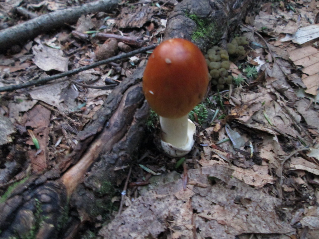 Photo: wasp7ty, CC BY 2.0 (via Flickr)
Tumbling Waters Trail
~9 min drive
Tumbling Waters Trail is a 2.78-mile trail in Pennsylvania rated SAC T2.
HIKE
Blue Mountain Loop Trail
~8 min drive
A 16.43-mile point-to-point mountain trail in New Jersey.
 Photo: Garden State Hiker, CC BY 2.0 (via Flickr)
Lead Mine Trail
~4 min drive
Short point-to-point trail featuring historical lead mining sites in New Jersey.
HIKE
Willow Crest Trail
~8 min drive
2.62-mile loop trail in New Jersey with 566 ft of elevation gain.
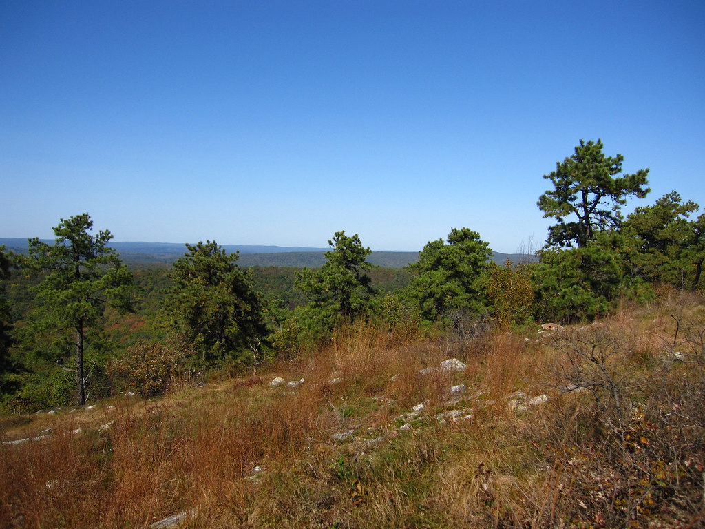 Photo: cm195902, CC BY 2.0 (via Flickr)
Coursen Trail
~5 min drive
1.23-mile point-to-point trail in New Jersey with 155 ft elevation gain
Photo: cm195902, CC BY 2.0 (via Flickr)Stony Lake Trail
~5 min drive
Quick point-to-point walk to Stony Lake with minimal elevation gain.
Photo: cm195902, CC BY 2.0 (via Flickr)Stony Brook Trail
~6 min drive
A 2.22-mile point-to-point creek-side hike through New Jersey woodland.
 Photo: j-dub1980(THANK YOU FOR 100k+ Views), CC BY-SA 2.0 (via Flickr)
Geology Trail
~8 min drive
1.4-mile out-and-back hike in New Jersey with 201 ft elevation gain.
Map and trail data © OpenStreetMap contributors
