Swenson Trail
 Photo: j-dub1980(THANK YOU FOR 100k+ Views), CC BY-SA 2.0 (via Flickr)
- 0.8 mi
- one way
- 96 ft
- climb
- 1,050 ft
- high point
- Point to point
- route
- Apr, Jun–Oct
- best months
Swenson Trail is a short, easy hike in Stokes State Forest in New Jersey, managed by the State Department of Natural Resources. The trail is 0.84 miles long and rises about 96 feet from its starting point, which sits at roughly 1,024 feet. The climb is front-loaded, with the steepest stretch at about 0.31 miles in, and the trail reaches a high point of about 1,050 feet before it ends. The trail is a point-to-point route, and it works well as a quick outing. It is also a practical choice for riders and riders of all kinds: the route allows both bikes and horses. Late spring and early fall are the most comfortable times to go. Typical averages from a nearby weather station show May highs around 71°F and September highs around 74°F, while winter brings highs in the mid-30s and a few snowy days each month from December through February. Several other trails lie close by. SOC Green Darner is about 0.6 miles away, and the Blue Mountain Loop Trail and Geology Trail are each about 0.9 miles off. For climbing, High Point State Park is about 6.5 miles away.
Local outfitters
- Pier 13 Hoboken50 mi away
Not on Roamze yet. Their page has how to reach them.
Best time to go · Apr, Jun–Oct
Best time to visit Swenson Trail
Best months: April and June–October. Best months have typical highs of 55–85 °F, lows of 30 °F or warmer (32 °F where the station doesn't record snow), at most one snowy day and no more than 12 wet days.
Jan
35° / 17°
11 wet · 5 snow
Feb
38° / 18°
9 wet · 5 snow
Mar
47° / 25°
11 wet · 3 snow
Apr
60° / 36°
12 wet
May
71° / 46°
13 wet
Jun
78° / 55°
11 wet
Jul
83° / 60°
11 wet
Aug
81° / 59°
11 wet
Sep
74° / 51°
10 wet
Oct
63° / 40°
11 wet
Nov
51° / 31°
10 wet · 1 snow
Dec
40° / 23°
11 wet · 3 snow
Typical high / low (°F) and days with rain or snow, 1991–2020. Measured at Sussex 3 Wnw, NJ, 3.8 mi away at 667 ft. Source: NOAA NCEI U.S. Climate Normals 1991–2020.
Keep exploring — more trails worth the drive
Photo: j-dub1980(THANK YOU FOR 100k+ Views), CC BY-SA 2.0 (via Flickr)Geology Trail
~2 min drive
1.4-mile out-and-back hike in New Jersey with 201 ft elevation gain.
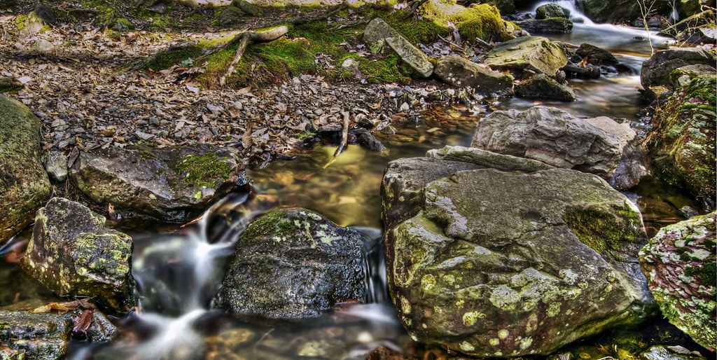 Photo: j-dub1980(THANK YOU FOR 100k+ Views), CC BY-SA 2.0 (via Flickr)
Steffen Trail
~9 min drive
Steffen Trail is a 1.25-mile point-to-point trail in New Jersey with 110 feet of elevation gain.
HIKE
Blue Mountain Loop Trail
~2 min drive
A 16.43-mile point-to-point mountain trail in New Jersey.
Photo: j-dub1980(THANK YOU FOR 100k+ Views), CC BY-SA 2.0 (via Flickr)Tinsley Trail
~2 min drive
1.99-mile point-to-point trail in New Jersey with 371 ft elevation gain.
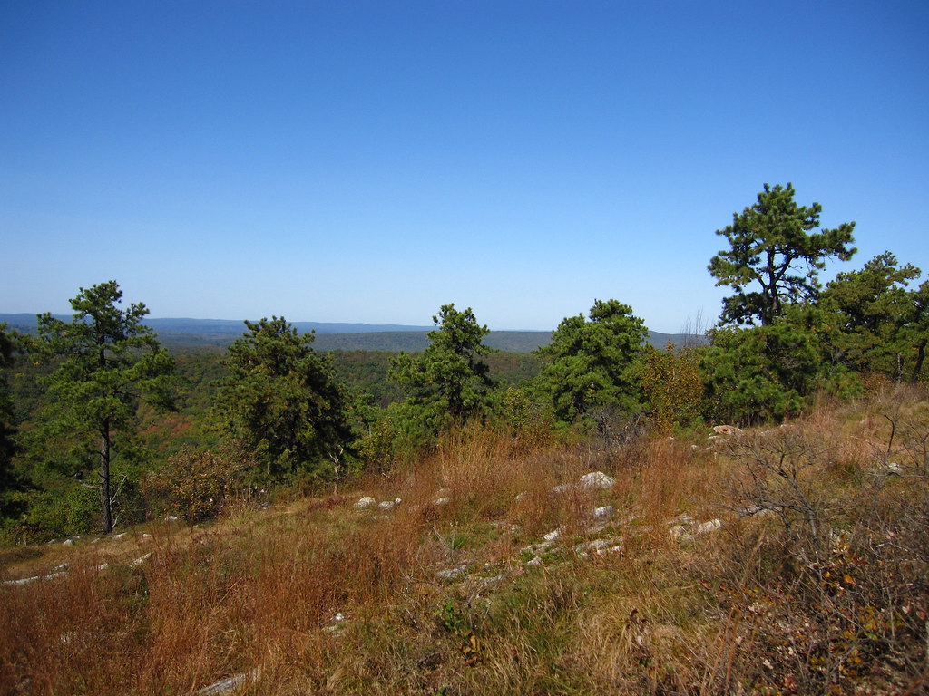 Photo: cm195902, CC BY 2.0 (via Flickr)
Stony Brook Trail
~3 min drive
A 2.22-mile point-to-point creek-side hike through New Jersey woodland.
Photo: cm195902, CC BY 2.0 (via Flickr)Coursen Trail
~4 min drive
1.23-mile point-to-point trail in New Jersey with 155 ft elevation gain
Photo: cm195902, CC BY 2.0 (via Flickr)Stony Lake Trail
~4 min drive
Quick point-to-point walk to Stony Lake with minimal elevation gain.
 Photo: Nicholas A. Tonelli from Pennsylvania, USA, CC BY 2.0 (via Wikimedia Commons)
Rock Oak Trail
~5 min drive
1.45-mile point-to-point hike in New Jersey with 157 ft gain
 Photo: Garden State Hiker, CC BY 2.0 (via Flickr)
Lead Mine Trail
~5 min drive
Short point-to-point trail featuring historical lead mining sites in New Jersey.
Photo: j-dub1980(THANK YOU FOR 100k+ Views), CC BY-SA 2.0 (via Flickr)Red Maple Trail
~9 min drive
4.89-mile point-to-point trail in New Jersey with 1,006 ft of descent.
Map and trail data © OpenStreetMap contributors
